Jasper Guide: Best Hikes & Scenic Drives | Canadian Rockies
visited: june 2022🟢 Easy: 0–50 m per km
🟡 Moderate: 50–100 m per km
🟠 Difficult: 100–150 m per km
🔴 Challenging: 150–225 m per km
⚫ Expert: 225+ m per km
Note: I use elevation gain per kilometre as a baseline, but I’ll bump a rating up if the track gets tricky — think roots, loose scree, uneven rocks, or exposed sections. Steepness is only part of the story.
Nestled into the Canadian Rockies, a few hours northwest of Banff, you will find Jasper National Park. Despite its undeniable beauty, Jasper is often overlooked by visitors. But whether it’s the town’s smaller size or it being a little further out of the way, Jasper escapes the worst of the crowds and over-tourism seen in Banff. The lack of crowds creates a quieter, more untouched experience for nature lovers… more than fine by me!
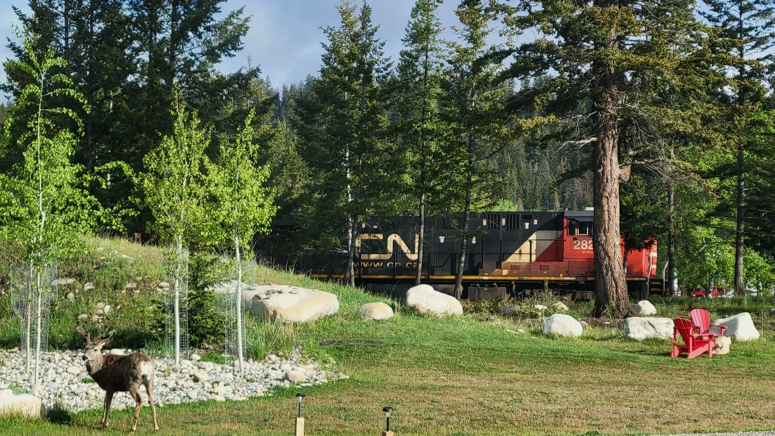
In the time since 2022 when I was in Jasper, the area and people have been impacted by some devastating forest fires. Though they are rebuilding, the region’s landscape has changed dramatically. Be sure to check current conditions with Parks Canada and local resources before you go to avoid unexpected closures.
To explore Jasper National Park, you need a valid Parks Canada Discovery Pass. You can find more information on that here.
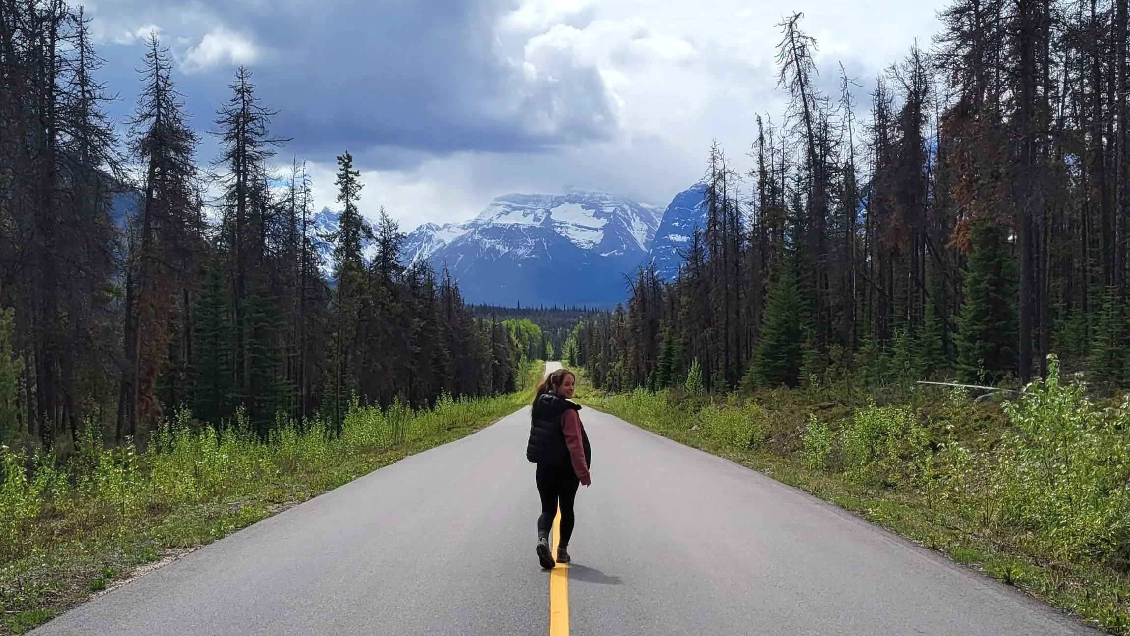
Walking along the 93A
Before we really dive in, visiting Banff and the surrounding area involves a lot of time travelling on the road, and I highly recommend getting the Guide Along app. It’s like having your own personal tour guide, prompted automatically by your phone’s location and shares fun little anecdotes and facts about the area.
→ New to hiking? Start here: Hiking 101. Learn how to choose trails, hiking terms, and what to pack (without overdoing it).
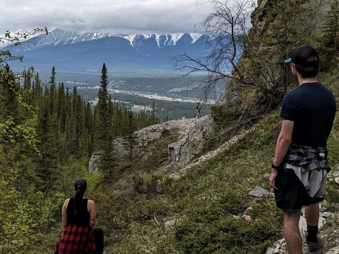
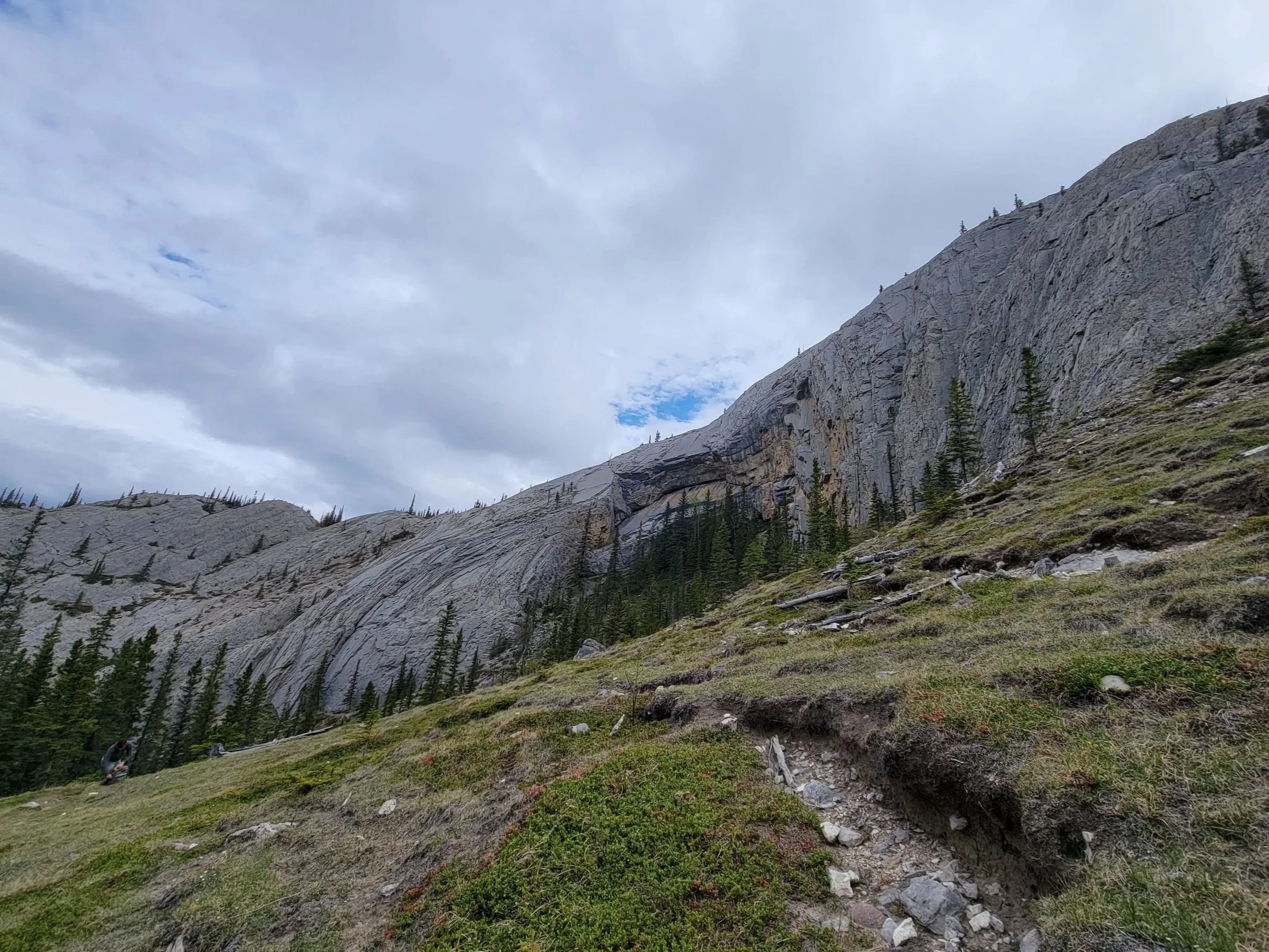
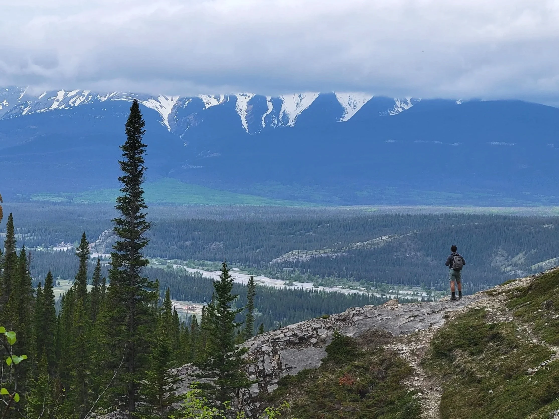
Hidden Valley
Time: 3 hour return
Difficulty: Difficult
Type: Out-and-back
Distance: 4 kilometres
Elevation Gain: 446 metres
Starting from the left side of the carpark, follow the edge of the water to the trailhead. Immediately, you will face a steep but short stretch of loose gravel — it’s not as bad as it seems, I promise! After this, the grade becomes more gradual, and the trail is truly enjoyable. Expect to navigate some ladders (leave your dogs at home) and steeper bursts as you make the ascent. The challenging moments are all worth it from the top where you will be rewarded with sprawling views.
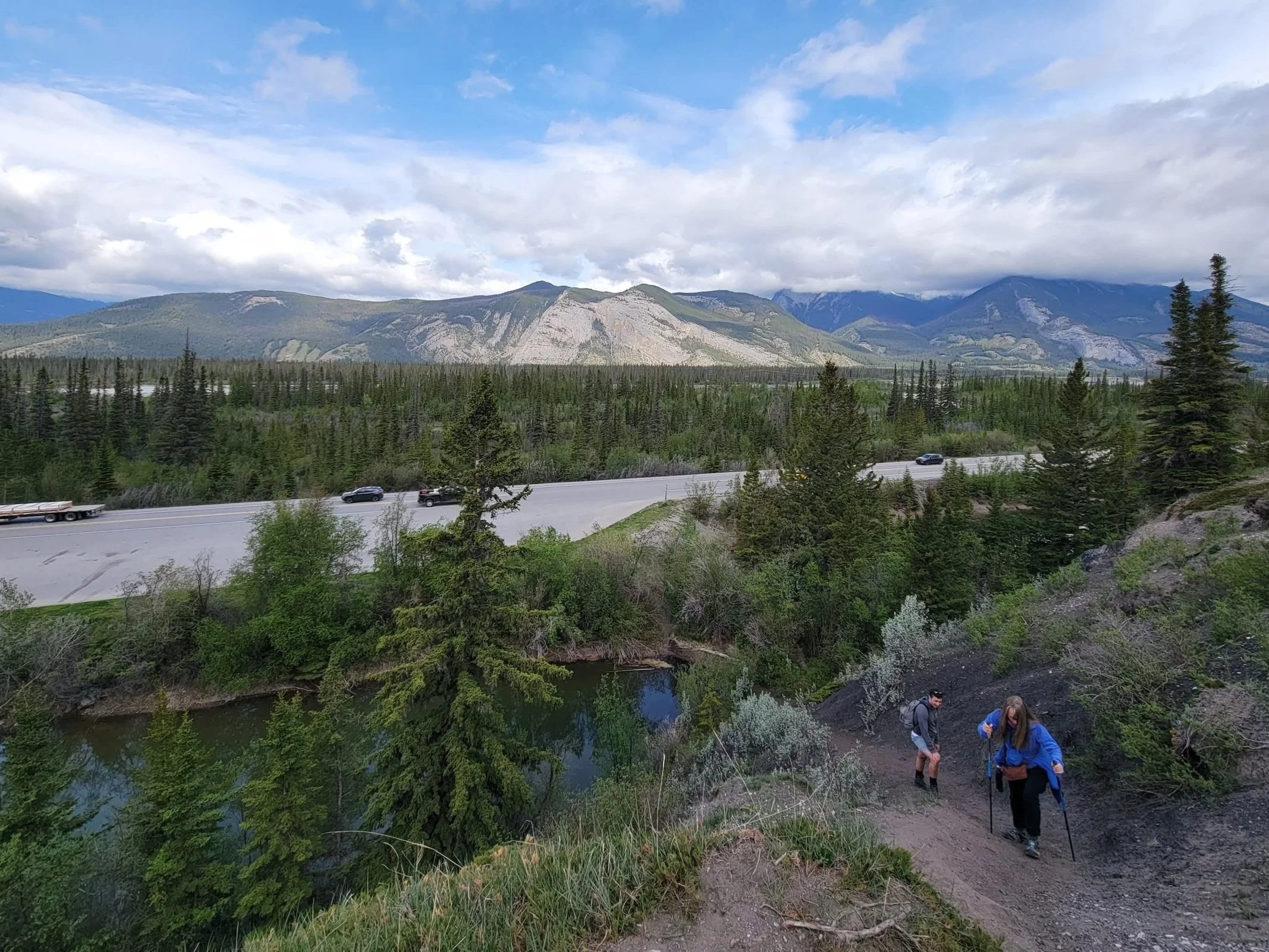
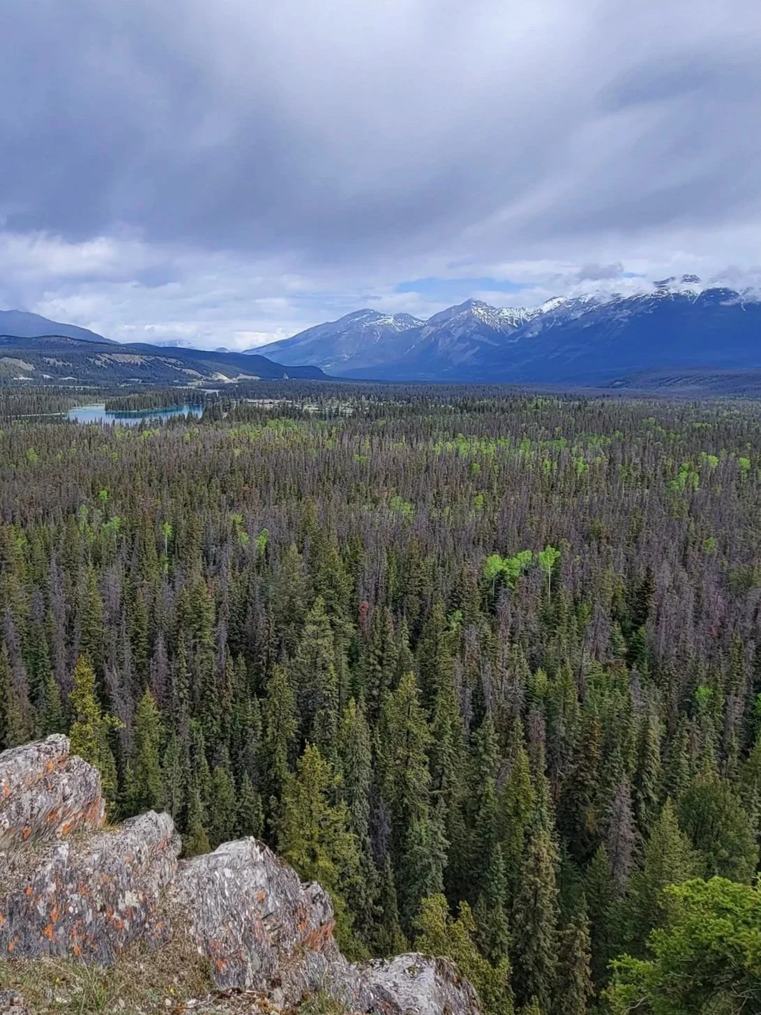
Old Fort Trail
Time: 1.5 hour return
Difficulty: Moderate
Type: Loop
Distance: 4 kilometres
Elevation Gain: 178 metres
From the trailhead, you can go either direction, but I recommend heading to the left and following the loop clockwise. Not only will your ascent be more gradual, but you will also end the hike with the best views, a reward for your effort.
If you follow this direction, you will begin with a couple of steep but short sections, which will then mellow out as you wind along the forest floor. About two-thirds of the way through the hike, you will arrive at the first stop: a plateau with two red chairs. The remaining path will continue on with a steady incline until you arrive at the Old Fort. From here, you can take in the surrounding valley that the town of Jasper is located in.
Old Fort Trail was one of the paths that sustained a lot of damage from the fires, but it remains open. Due to this, current conditions and landscapes may be different from my experiences.
Valley of the Five Lakes
Time: 2 hour return
Difficulty: Easy
Type: Loop
Distance: 5 kilometres
Elevation Gain: 165 metres
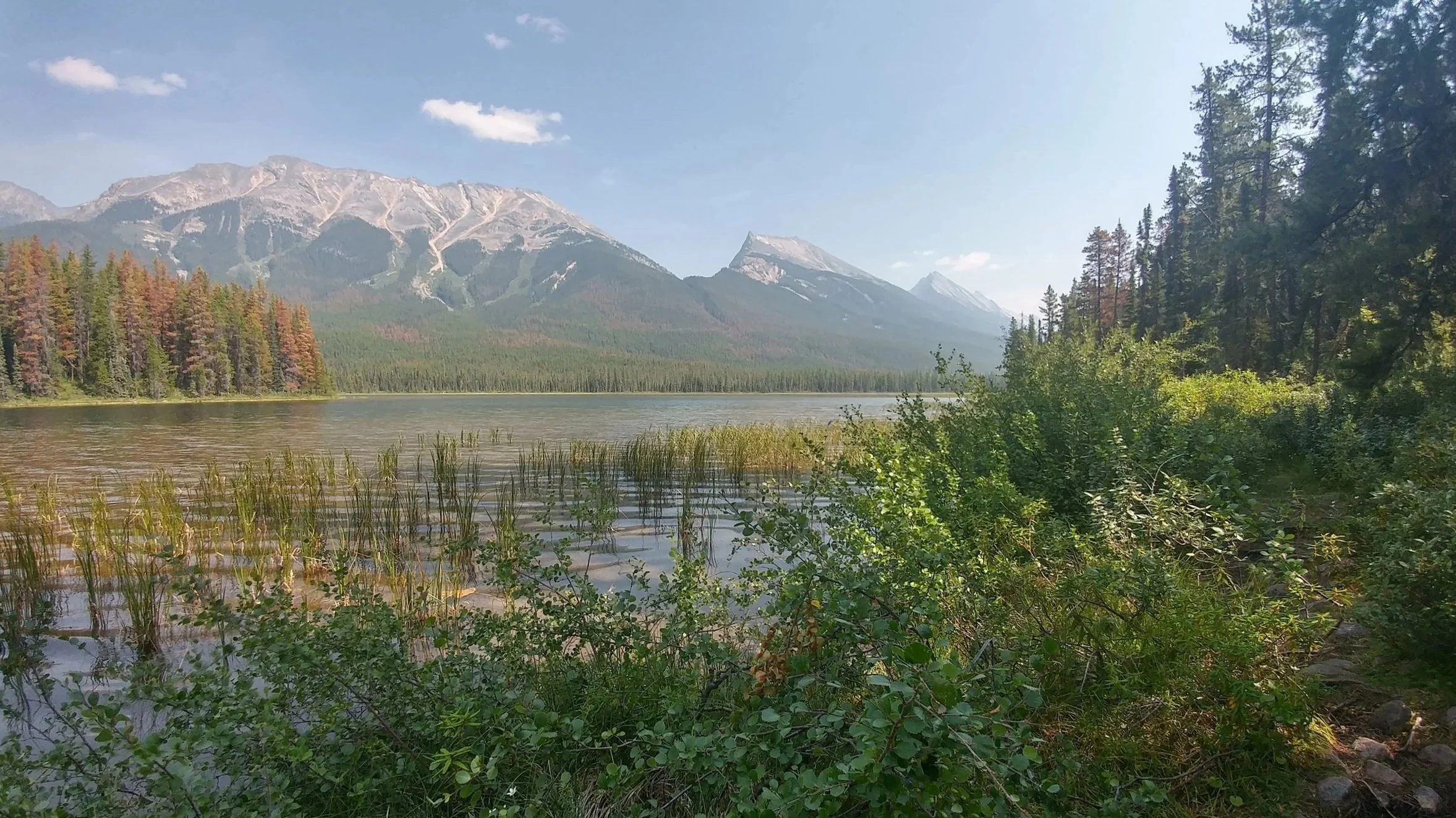
Another gorgeous hike greatly impacted by the recent fires in the area, the Valley of the Five Lakes is currently closed (as of January 2026), and I don’t know when/if this will change. I’m including it in case it does reopen soon!
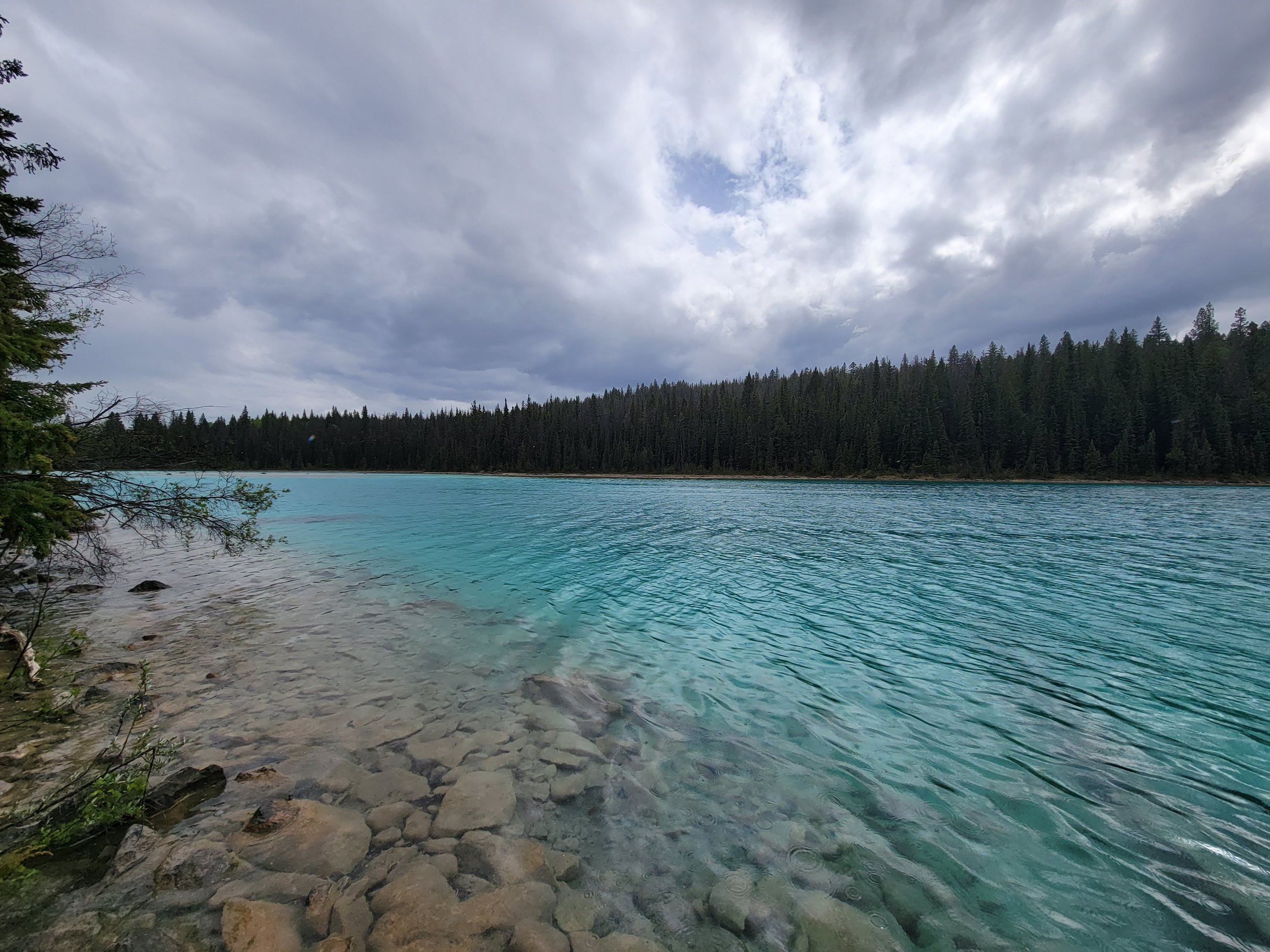
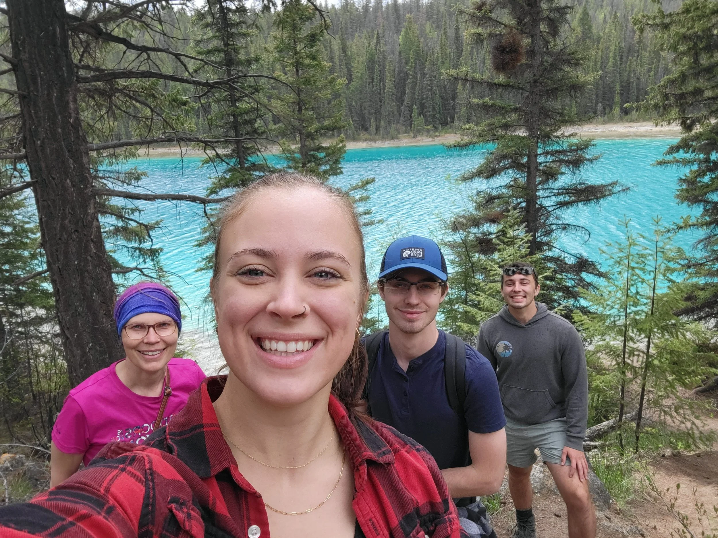
This is one of the best examples of low-effort, high-reward. The route has a lot of ups and downs, and navigates around — you guessed it — five lakes. Though it has a lot of inclines, they are short and most people consider this an easy hike. It’s a great one for beginners who won’t shy away from a little bit of effort.
Each of the five lakes has its own clarity and shade of blue or green; a result of the glacial run-off that feeds them, along with a variety of other factors. Pack a lunch and take advantage of the seating areas along the route to really take in the views. And if you’re feeling bold, pack your swimsuits and dive in to one of the lakes with water access. Fair warning: glacier-fed lakes come with glacier-fed temps!
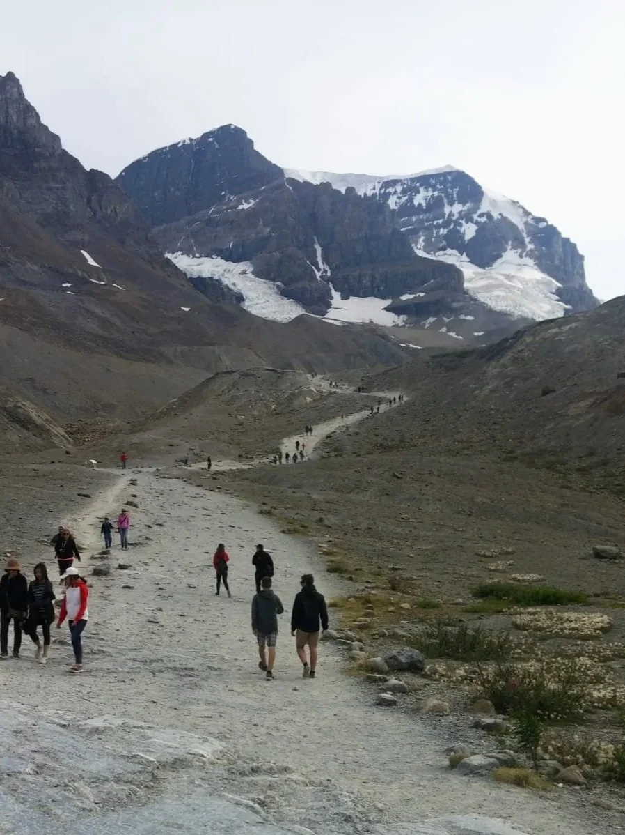
Toe of Athabasca Glacier Trail
Time: 45 minute-1 hour return
Difficulty: Easy
Type: Out-and-back
Distance: 1.4 kilometres
Elevation Gain: 60 metres
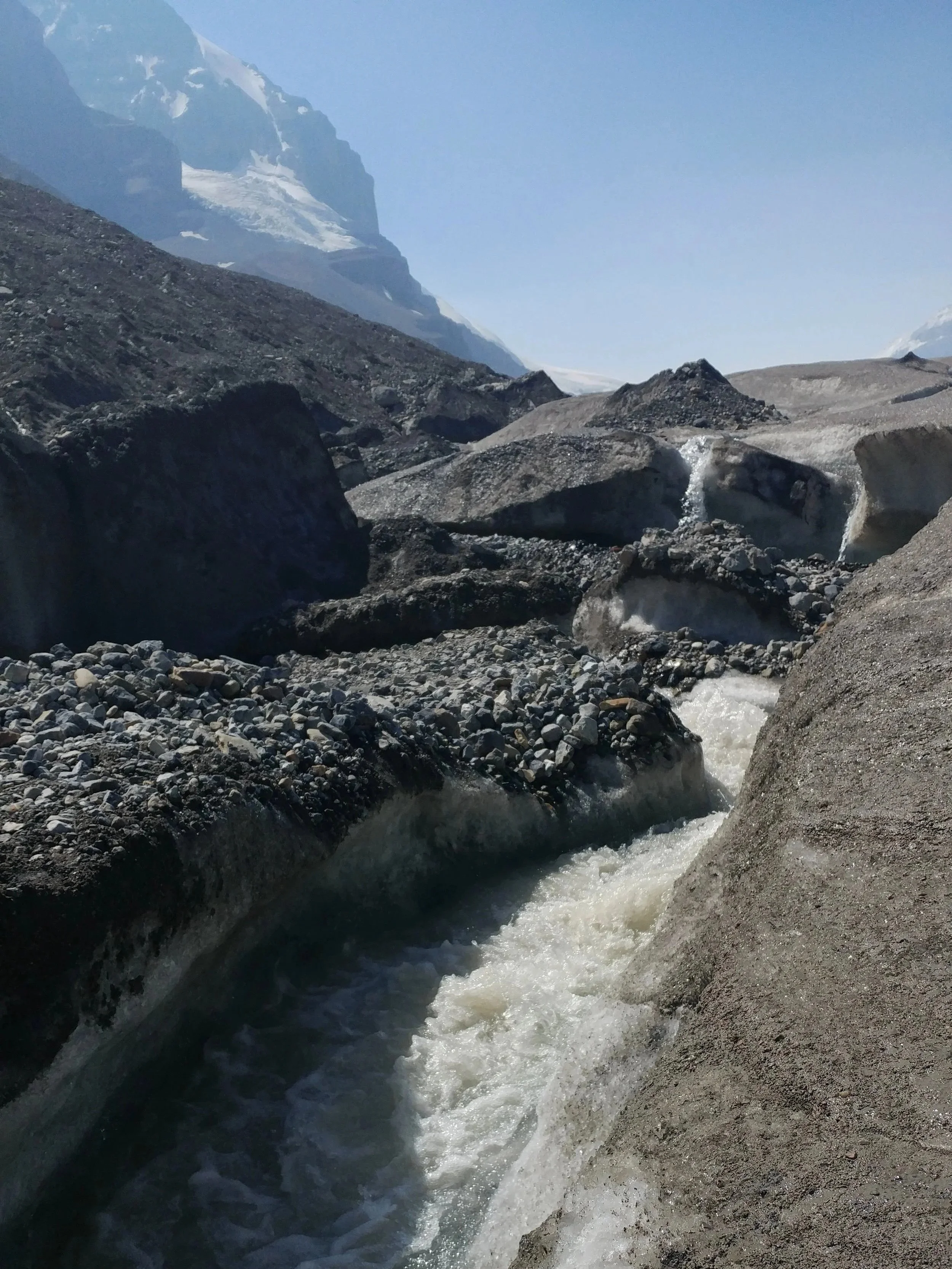
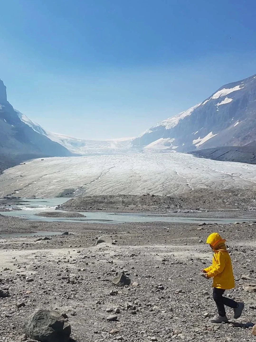
An incredibly unique experience for such a short and easy walk! The trail takes you right to the edge of the Athabasca Glacier, where you can fully appreciate the size of it. Strictly speaking, you are not supposed to walk onto the glacier from here, but you will see many people disregarding the posted signage to do exactly that. For both environmental conservation and safety reasons, I don’t recommend venturing beyond where you’re supposed to.
Sadly with climate change being what it is, the toe of the glacier is melting at alarming rates. Due to this, there are hollow sections that can be undetectable from the surface, several people have died in the past from falling in to crevasses.
If you’re interested in walking on the glacier while staying safe, consider one of the tours offered. They will provide the necessary safety equipment and a guide who knows where the safe zones are.
More Jasper Trip Notes
Stop into Bear Paw Bakery. The locally owned shop is the perfect place to grab some delicious fresh baked treats and quality coffee!
Save money on accommodations. We stayed at the HI Jasper hostel in a private room and it was the perfect base for us to explore the area for a few nights for a reasonable price. Unfortunately the old building was burnt down in the wildfires, but they have plans to return better than ever — hopefully soon!
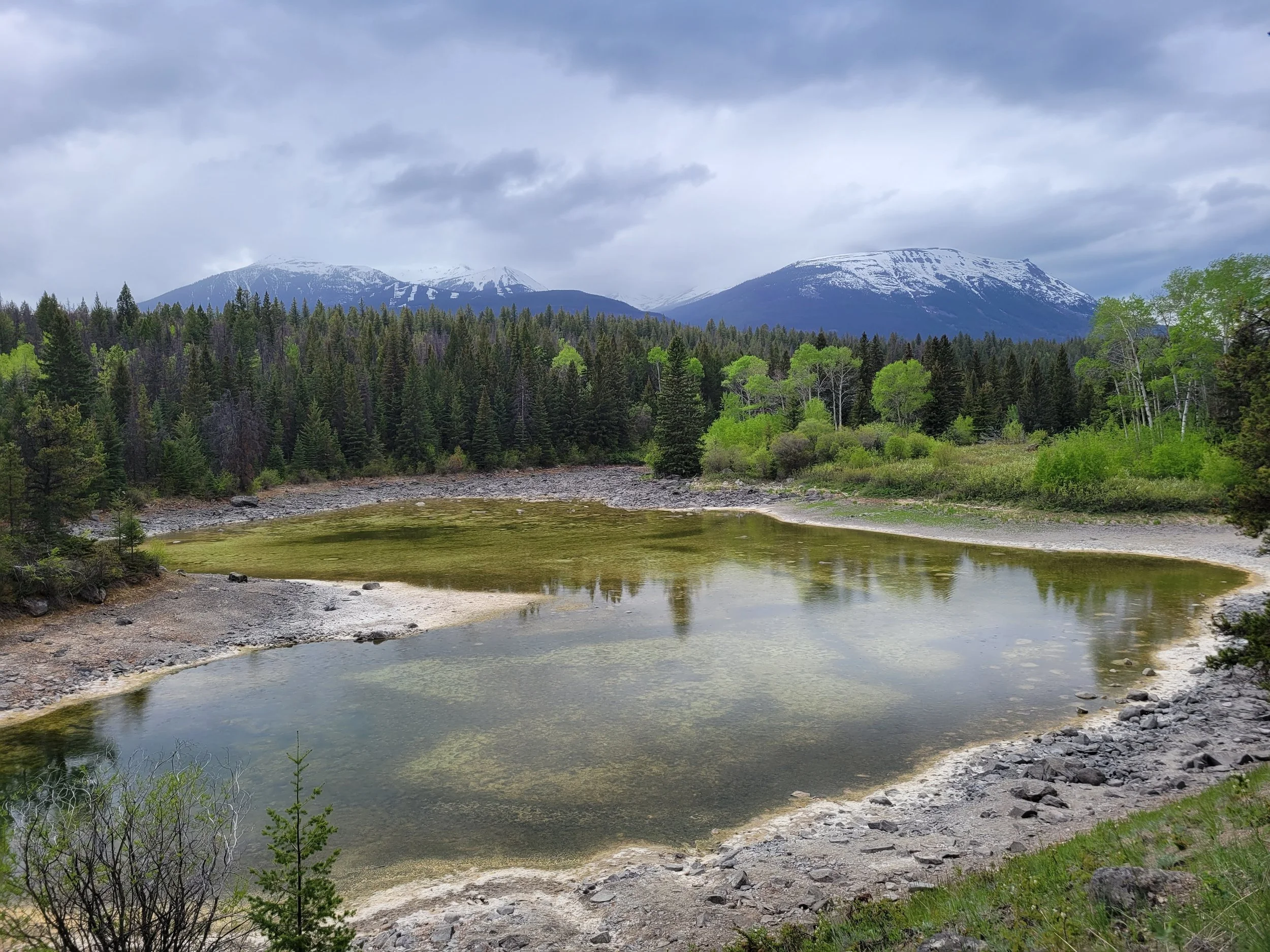
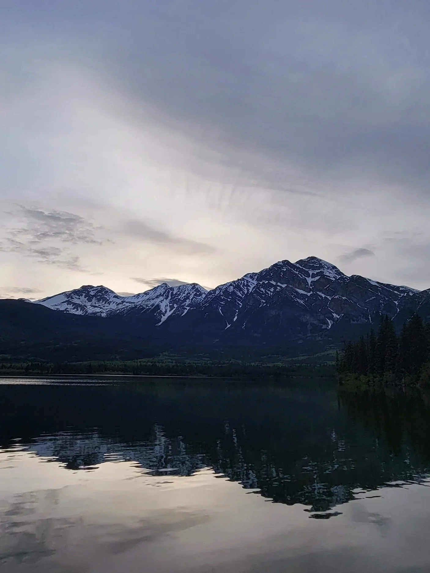
Stop at Pyramid Lake/Pyramid Island viewpoint. Not a hike, but a beautiful stop nonetheless! A short walk from the carpark and across the bridge, wander the short paths on Pyramid Island. Enjoy the views of the placid lake with Pyramid Mountain in the background.
Drive the Icefields Parkway. The 227 kilometre (141 mi.) stretch of road is often considered one of the world’s most beautiful drives. If you’ve got the time, fire up the engine and begin the journey between two of Canada’s most beautiful parks. From town to town the drive takes about 3.5 hours, but with even only a few stops along the way, it will take much longer. Plan to spend an entire day on this drive.
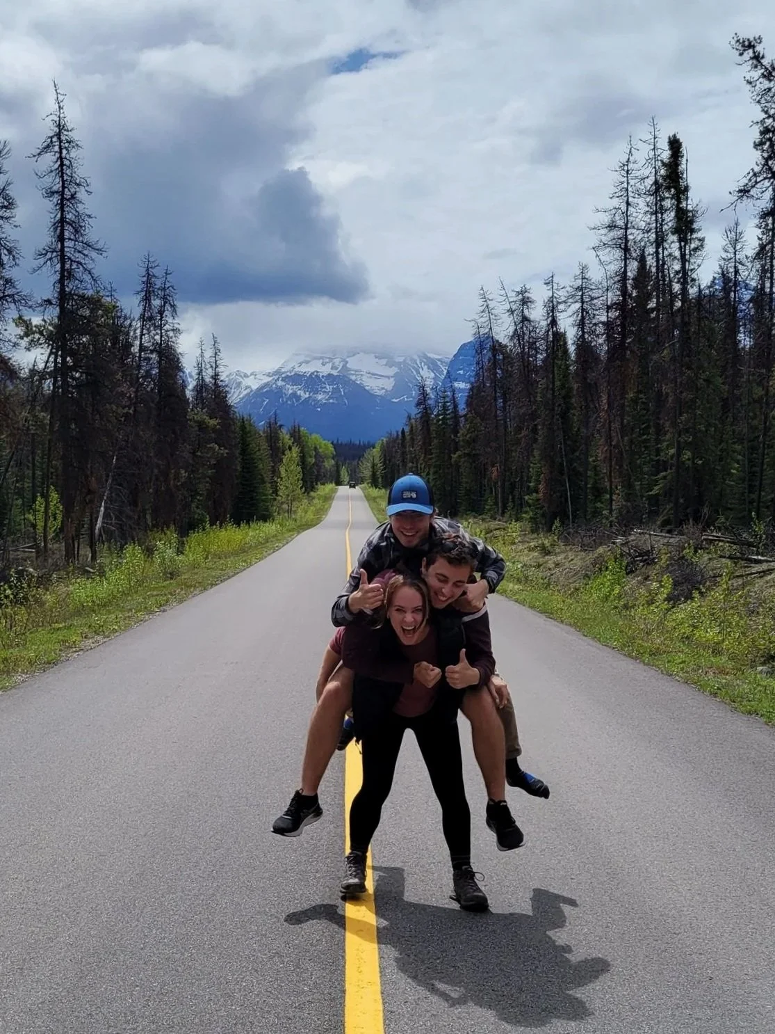
Take the “road less travelled”. Whether you’re heading to Banff or just enjoying a shorter scenic drive, branch off the Icefields Parkway and follow the 93A — the original road between Jasper and Banff. The route is quieter and full of amazing views. So if you’re on the hunt for hidden gems, branch off the main highway and take the road less travelled along this 24-kilometre (14.9 mi.) detour.