Yoho + Kootenay: Scenic Stops & Day Hikes | Canadian Rockies
visited in: August 2018, august 2021🟢 Easy: 0–50 m per km
🟡 Moderate: 50–100 m per km
🟠 Difficult: 100–150 m per km
🔴 Challenging: 150–225 m per km
⚫ Expert: 225+ m per km
Note: I use elevation gain per kilometre as a baseline, but I’ll bump a rating up if the track gets tricky — think roots, loose scree, uneven rocks, or exposed sections. Steepness is only part of the story.
If you’re hoping to escape some of the Banff crowds, carve out some time to explore Yoho and Kootenay National Parks, even if you only have one day! You’ll find these two parks just across the Alberta—B.C. border from Banff.
There are plenty of stunning easy trails — perfect for a rest day between heavier days spent on the trails. Though this post primarily focuses on shorter trails and viewpoints, there are also higher-effort treks and multi-day circuits in the parks that are definitely worth considering. I’ve included a few of the more intense trails that I have on my list for next time too!
To explore Yoho and Kootenay National Parks, you need a valid Parks Canada Discovery Pass. You can find more information on that here.
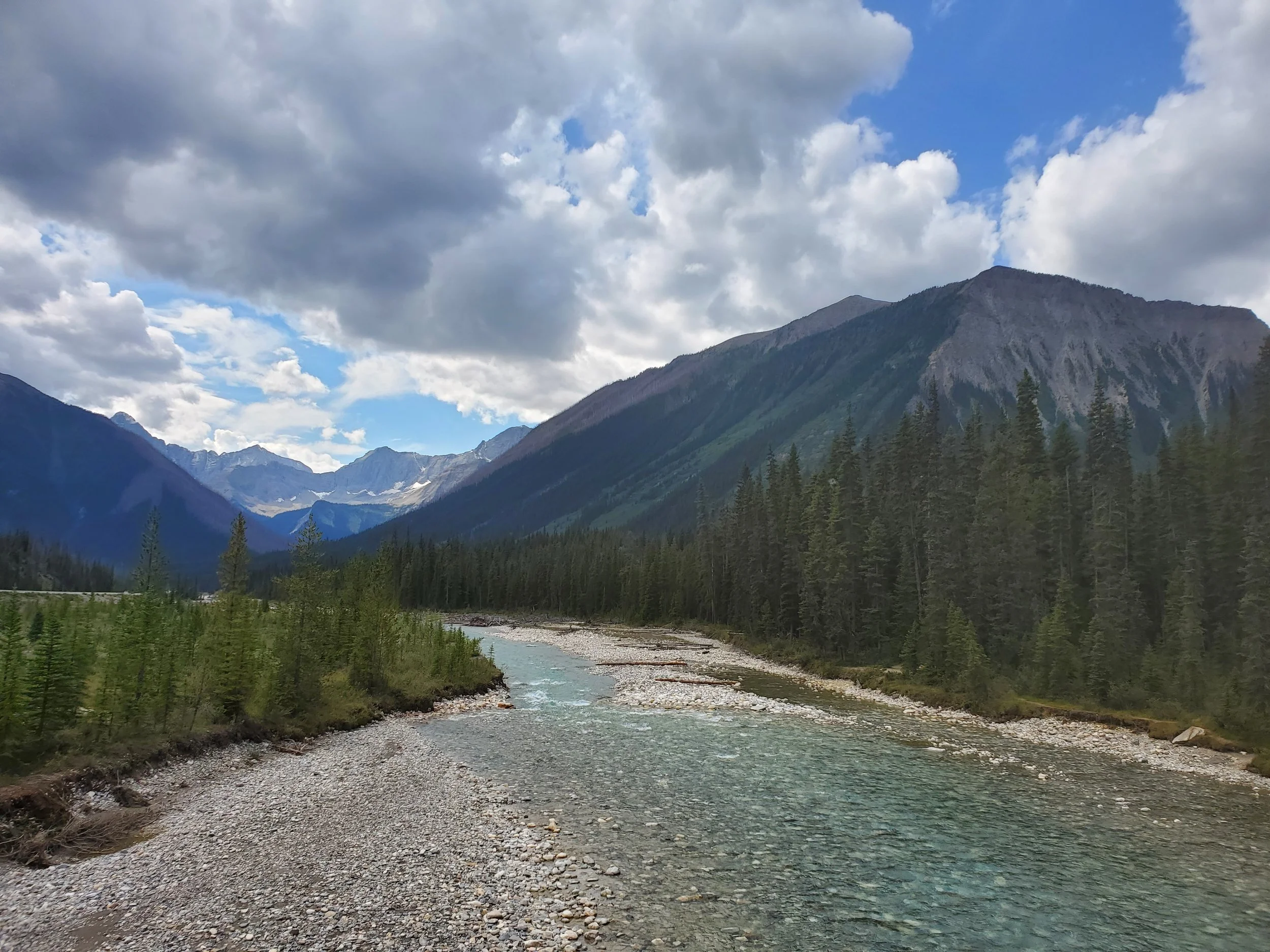
On the way to the Paint Pots
→ New to hiking? Start here: Hiking 101. Learn how to choose trails, hiking terms, and what to pack (without overdoing it).
Walking Trails & Quick Stops
Emerald Lake Loop
Time: 1.5 hour return
Difficulty: Easy
Type: Loop
Distance: 5.3 kilometres
Elevation Gain: 124 metres
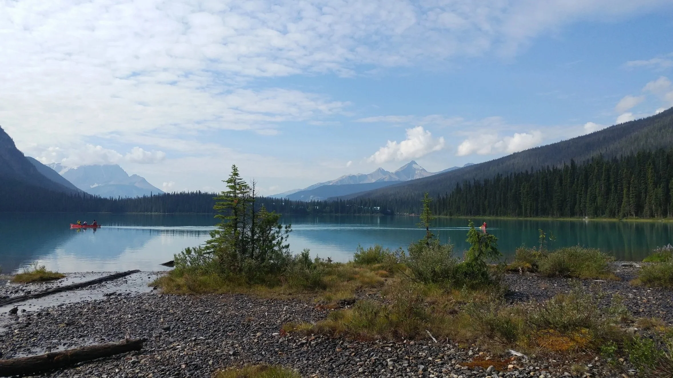
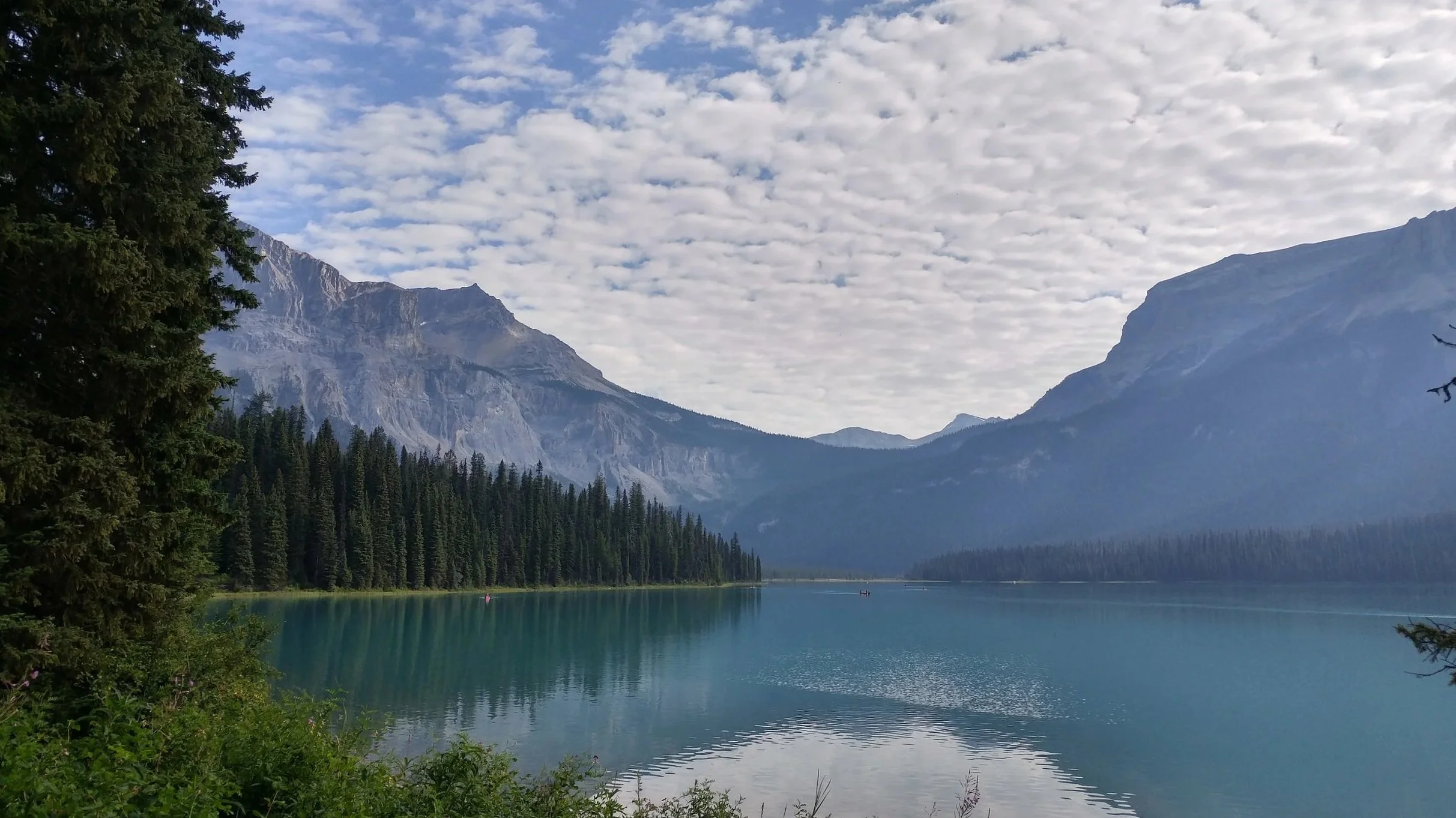
Emerald Lake is a beautiful lake with such brilliant colouring that it almost doesn’t look real. The loop trail starts and ends at the lodge (perched on the edge of the lake) and follows along its forested shores. There are benches and picnic tables along the way, making this an ideal place to bring a packed meal or perhaps a book to enjoy while you take in the views.
Marble Canyon
Time: <1 hour return
Difficulty: Easy
Type: Out-and-back
Distance: 1.4 kilometres
Elevation Gain: 50 metres
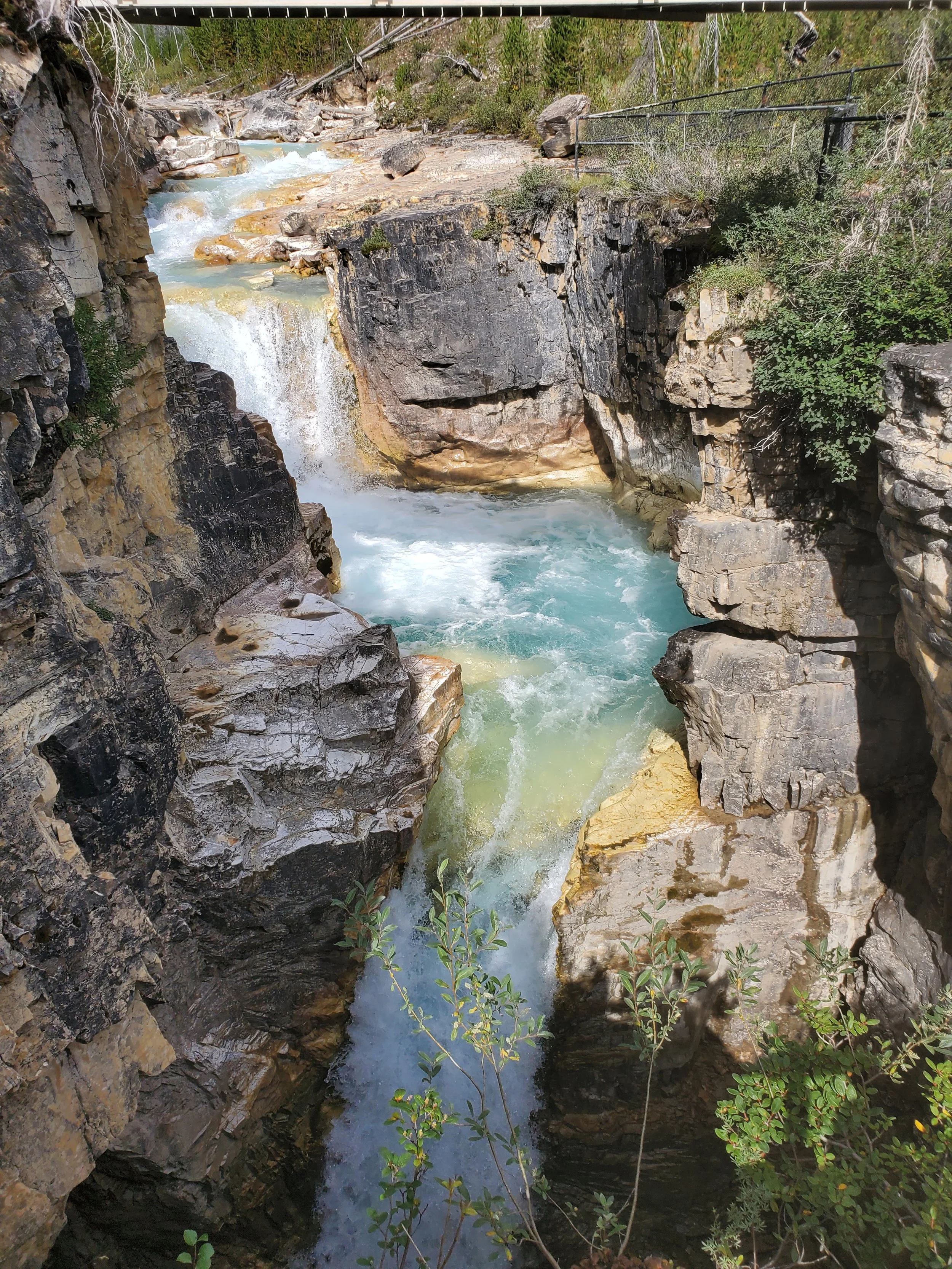
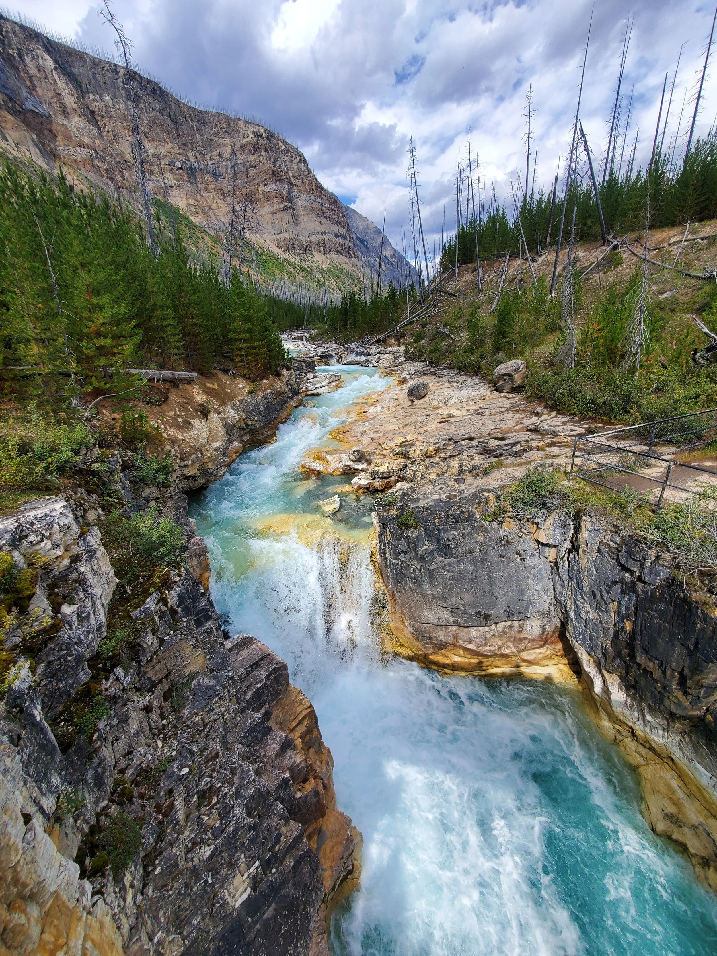
Think walk rather than hike. The path is easy to follow, short, and has almost no elevation — perfect for a casual stroll to stretch the legs while enjoying the natural beauty around you. The path leads to a viewing area with some pretty spectacular vantage points looking into the canyon below. In the summer months, the rushing water is a brilliant milky blue colour.
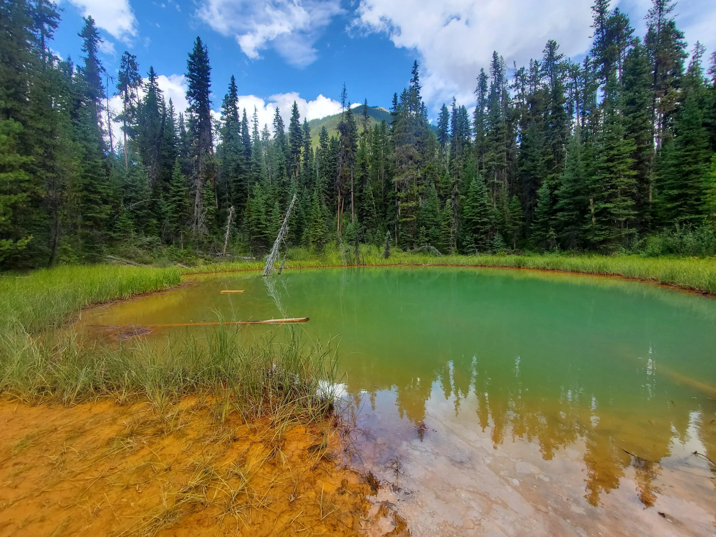
Paint Pots
Time: <1 hour return
Difficulty: Easy
Type: Out-and-back
Distance: 2.1 kilometres
Elevation Gain: 64 metres
Often included in lists of “must-sees” in Kootenay, the short, easy trail leads through beautiful views and ends at three small ponds. The ponds have interesting colours, caused by rich mineral springs, and it’s these hues that give the Paint Pots their name.
In my opinion, the surrounding landscape is gorgeous, but the Paint Pots themselves are a little underwhelming compared to other stops in the Rockies. I’d recommend it as a stop along the way, rather than a main attraction.
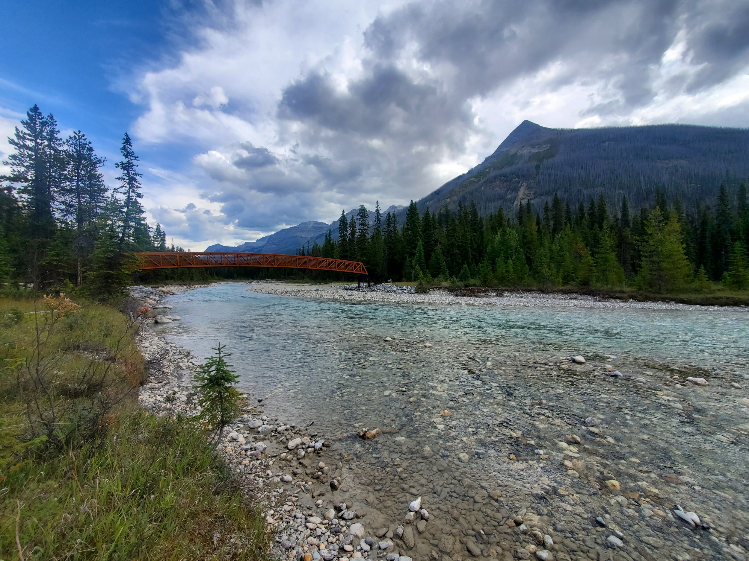
Meeting of the Waters
Time: <1 hour return
Difficulty: Easy
Type: Loop
Distance: 1.4 kilometres
Elevation Gain: 58 metres
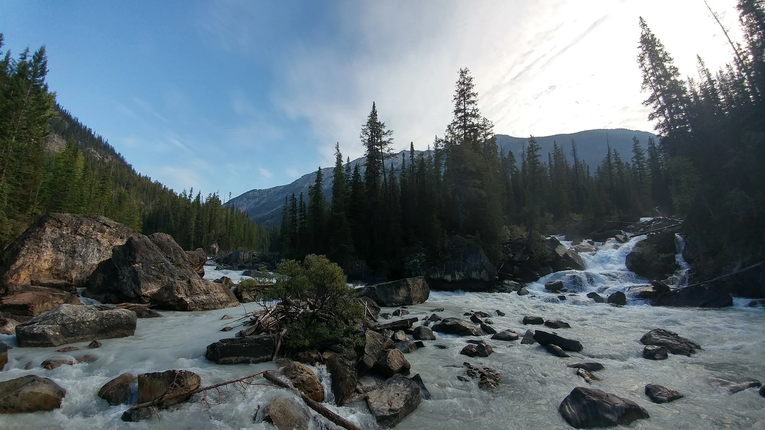
The Meeting of the Waters — on the left the colour is more cloudy grey, on the right it is more clear blue
On the way to (or from) Takakkaw Falls, be sure to take a quick detour to this stop. You’ll be able to see the merging of the Kicking Horse and Yoho rivers, made especially interesting by their noticeably different colours. While the Kicking Horse River has a more blue tone, the Yoho River has a more opaque grey colouring caused by the glacial flour (extremely fine sediment).
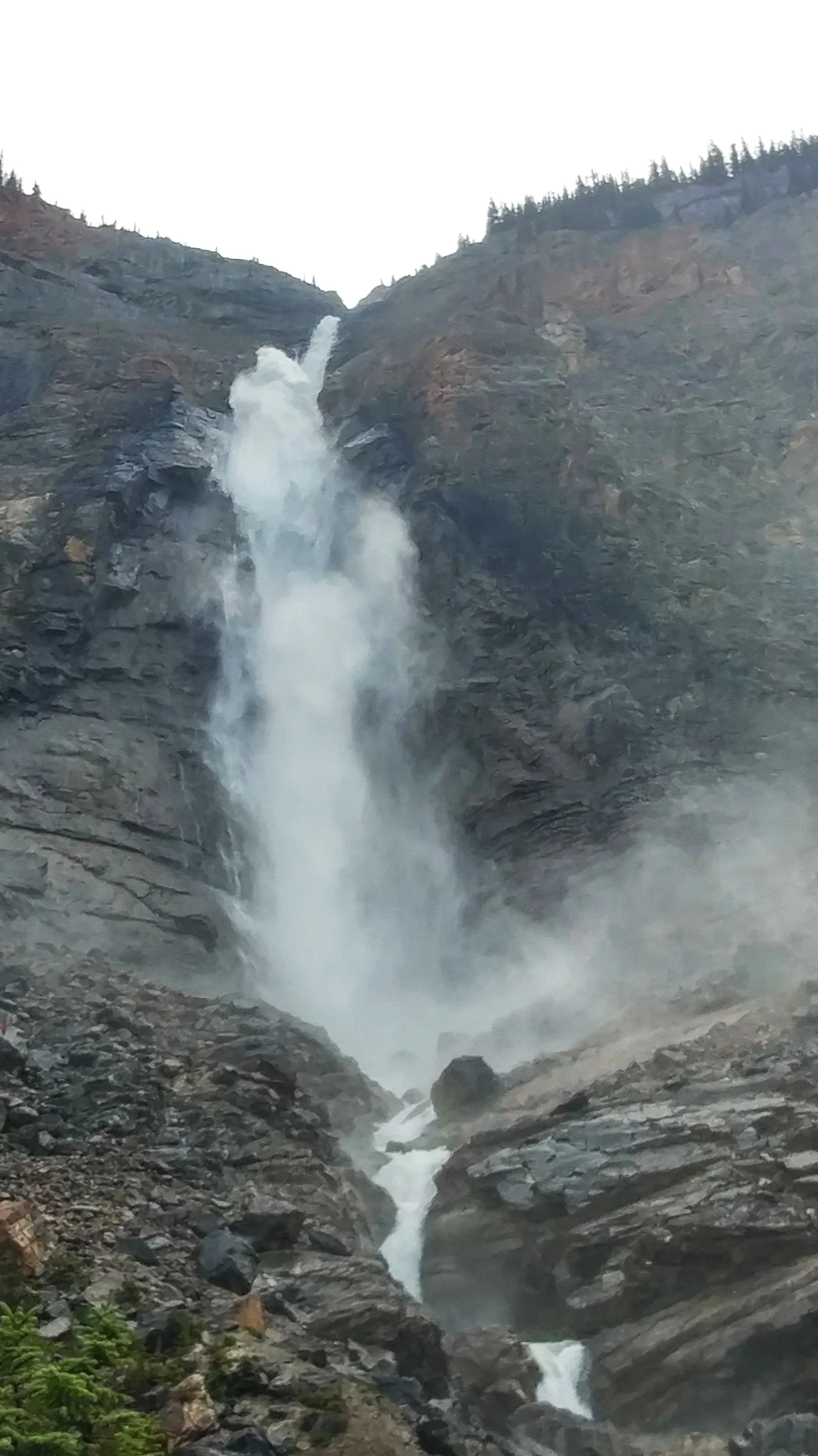
Takakkaw Falls
Time: <1 hour return
Difficulty: Easy
Type: Out-and-back
Distance: 1.4 kilometres
Elevation Gain: 42 metres
Takakkaw Falls is one of Canada’s tallest single-drop waterfalls and is super easy to access. The main trail from the parking lot is paved, and the short walk is well worth the small amount of effort.
If you feel like spending some time enjoying the view, grab a seat on one of the benches and take it all in… if you happen to sit at a bench dedicated to Jack and Joanne Towers, those are the grandparents of one of my oldest friends!
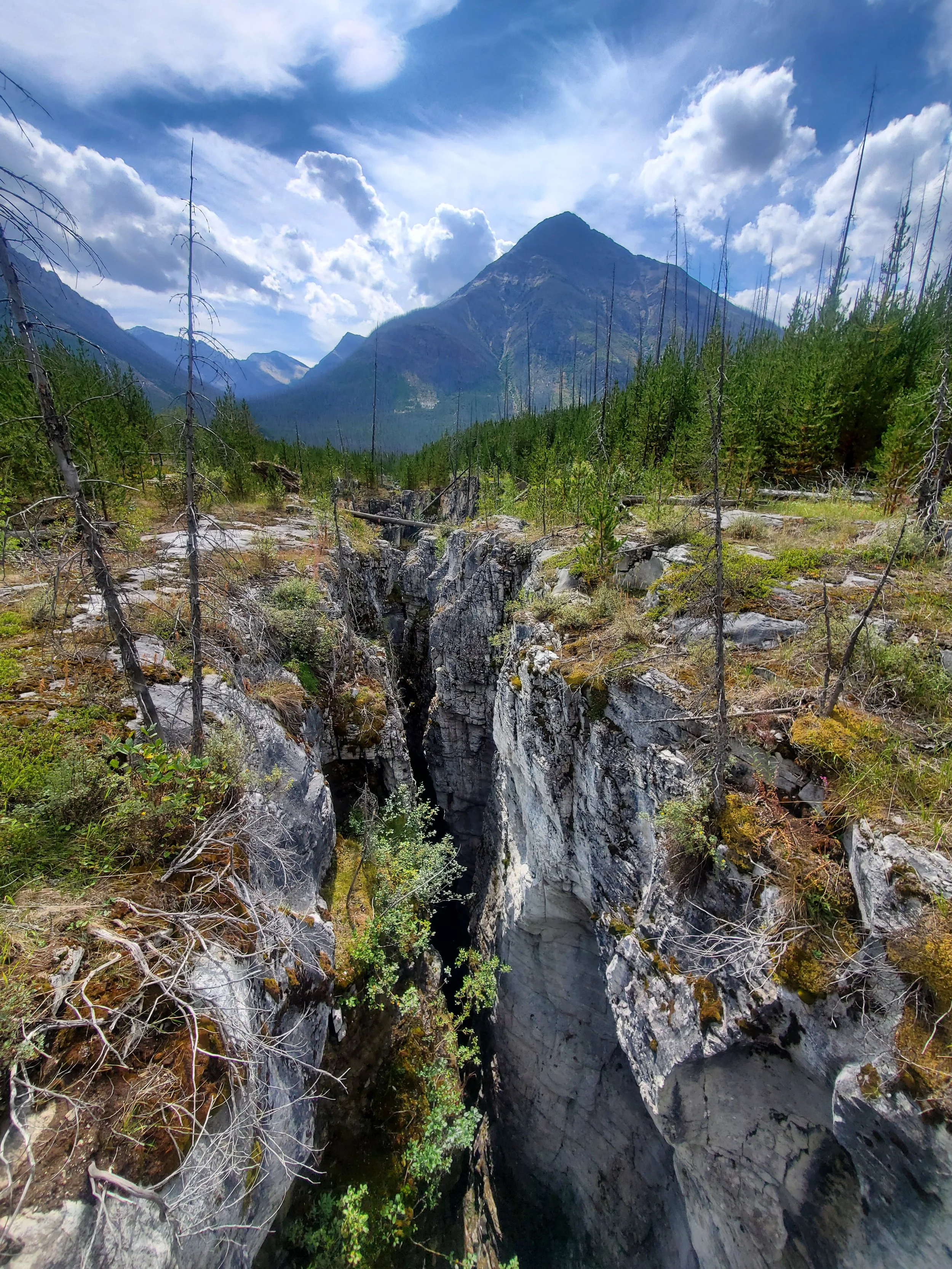
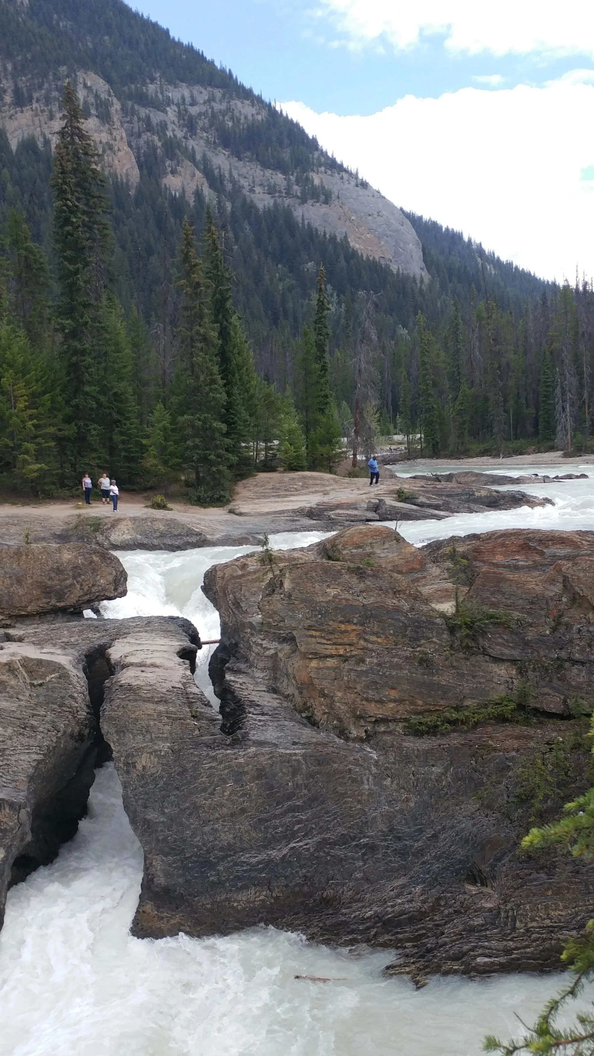
Natural Bridge
Located in Yoho National Park, the short 300 metre (328 yd.) walk from the carpark will bring you to the viewing platform. From here you will be able to see the rock form spanning over a small waterfall in the Kicking Horse River. A quick stop to marvel at the power of water, having eroded away the rock until it could flow right through.
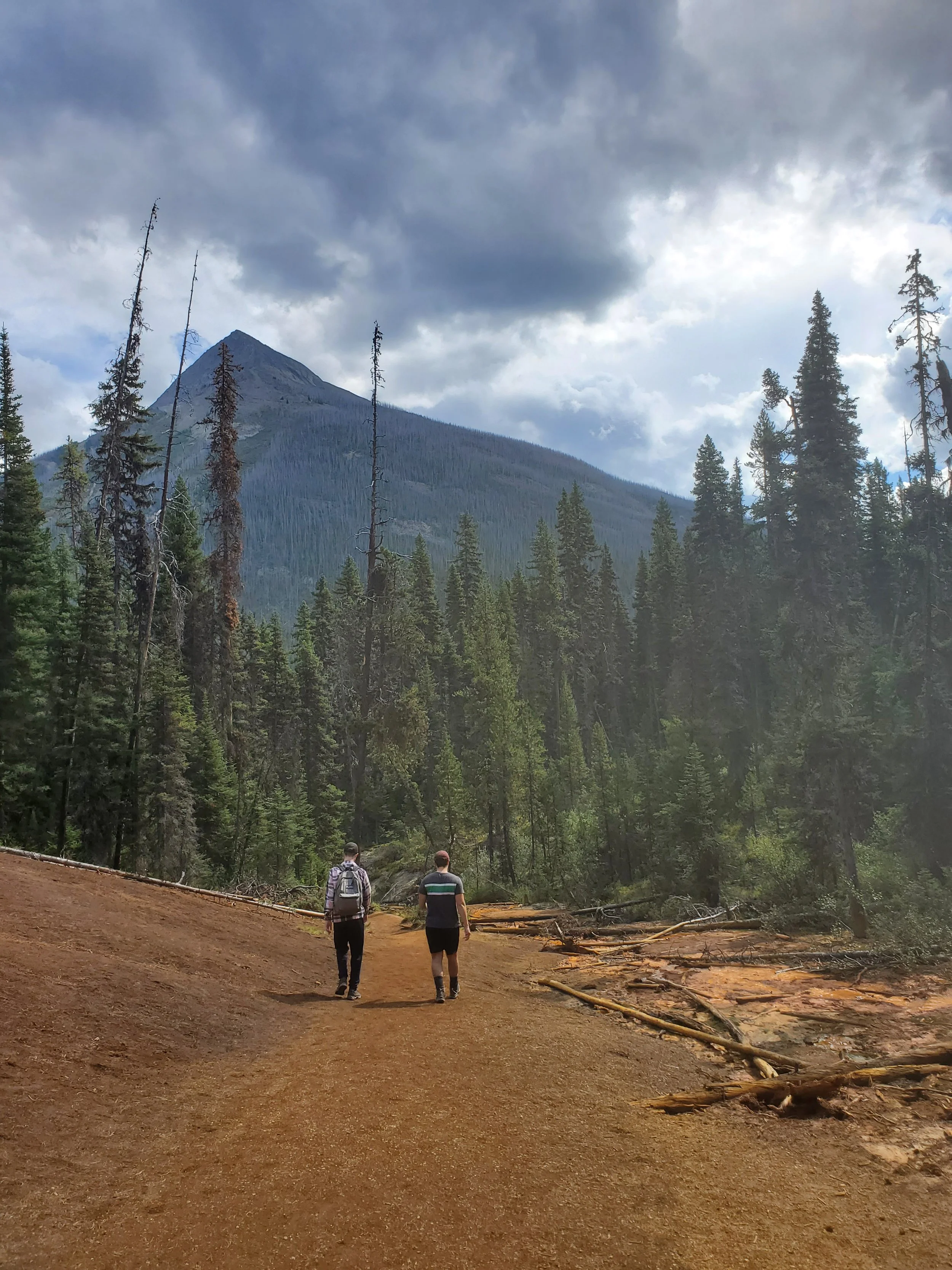
Hikes on my Bucket List
Lake O’Hara Alpine Circuit*
Time: 5.5-6 hour return
Difficulty: Difficult
Type: Loop
Distance: 11.4 kilometres
Elevation Gain: 88 metres
Lake O’Hara is a delicate alpine environment, and in an effort to preserve it, is only accessible by pre-booked shuttle. The booking process is done by a lottery every year, months before access begins. This is not the kind of stop you make on a whim!
The lake itself is located in a basin surrounded by mountains and the trail’s landscape changes dramatically along the way. This hike is at the top of my list for whenever I’m lucky enough to win the lottery and get a spot… or better yet, a campsite for a multi-day adventure!
Check out Parks Canada for information on how to sign up and plan your visit.
Floe Lake Trail
Time: 7.5-8 hour return
Difficulty: Difficult
Type: Out-and-back
Distance: 20.8 kilometres
Elevation Gain: 1007 metres
If you’re tackling the Floe Lake Trail, be prepared for plenty of steep switchbacks to get there. The trail leads over a couple of bridges, under forest canopies, and through alpine meadows, ending at the lake, surrounded by rugged peaks.
If you’re interested in camping at Floe Lake, make sure you plan ahead: backcountry sites are available here, but they are only available to backcountry permit holders.