Banff Day Hikes | Canadian Rockies
visited: aug 2018, Aug 2021, june 2022🟢 Easy: 0–50 m per km
🟡 Moderate: 50–100 m per km
🟠 Difficult: 100–150 m per km
🔴 Challenging: 150–225 m per km
⚫ Expert: 225+ m per km
Note: I use elevation gain per kilometre as a baseline, but I’ll bump a rating up if the track gets tricky — think roots, loose scree, uneven rocks, or exposed sections. Steepness is only part of the story.
Banff is a beautiful National Park located in Alberta, Canada. The Park has been declared a UNESCO World Heritage Site and welcomes about 4 million people every year! One of the best parts of Banff is the network of hiking trails available.
While a lot of the people who visit will stop at the classic viewpoints (ie. Lake Louise), then carry on, I cannot explain how much they are missing by not wandering into the forests.
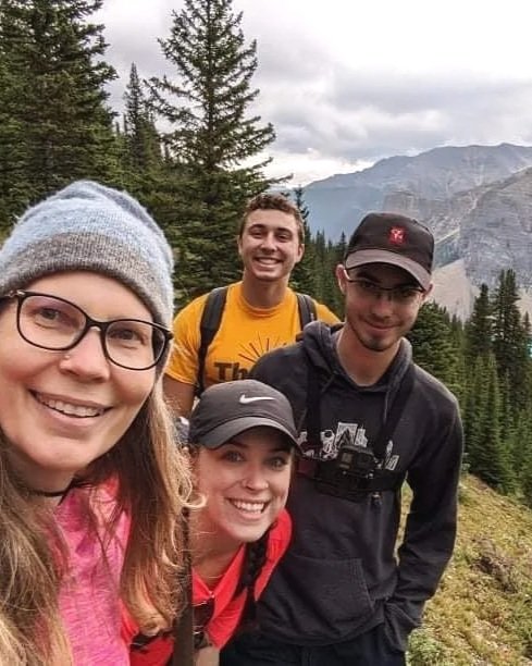
My family has visited a few times over the years, opting for day hikes over multi-day treks. Below is a list of the trails that have kept us coming back!
If you are planning to hike, remember that this is bear country. So brush up on your bear safety, be aware of your surroundings, and take note when there are postings about bears active in the area.
To explore Banff National Park, you need a valid Parks Canada Discovery Pass. You can find more information on that here.
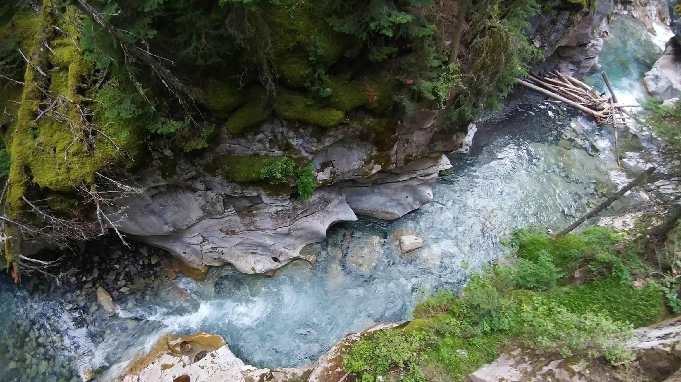
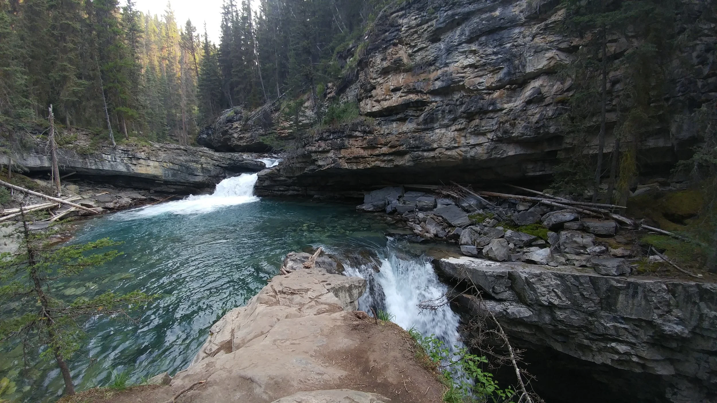
Johnston Canyon from above
Before we really dive in, exploring the Canadian Rockies involves a lot of time travelling on the road, and I highly recommend getting the Guide Along app. It’s like having a personal tour guide, prompted automatically by your phone’s location, sharing anecdotes and facts about the area.
→ New to hiking? Start here: Hiking 101. Learn how to choose trails, hiking terms, and what to pack (without overdoing it).
Tunnel Mountain
Time: 1.5-2 hour return
Difficulty: Moderate
Type: Out-and-back
Distance: 4.3 kilometres
Elevation Gain: 262 metres
A great mountain hike for beginners – easy access from Banff Town, low time commitment, manageable elevation gain – or anyone who wants to start their visit with a great view of Banff Town and the surrounding landscape.
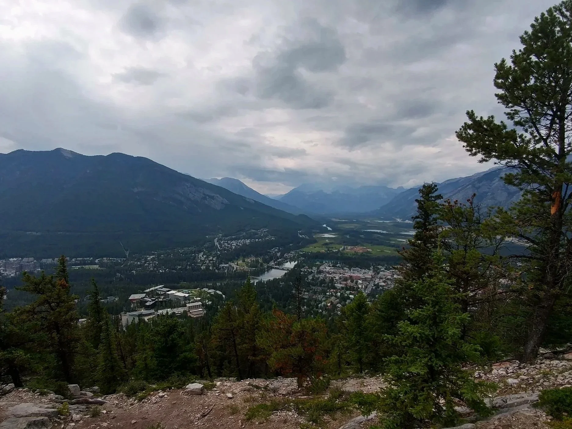
View of Banff Town from Tunnel Mountain
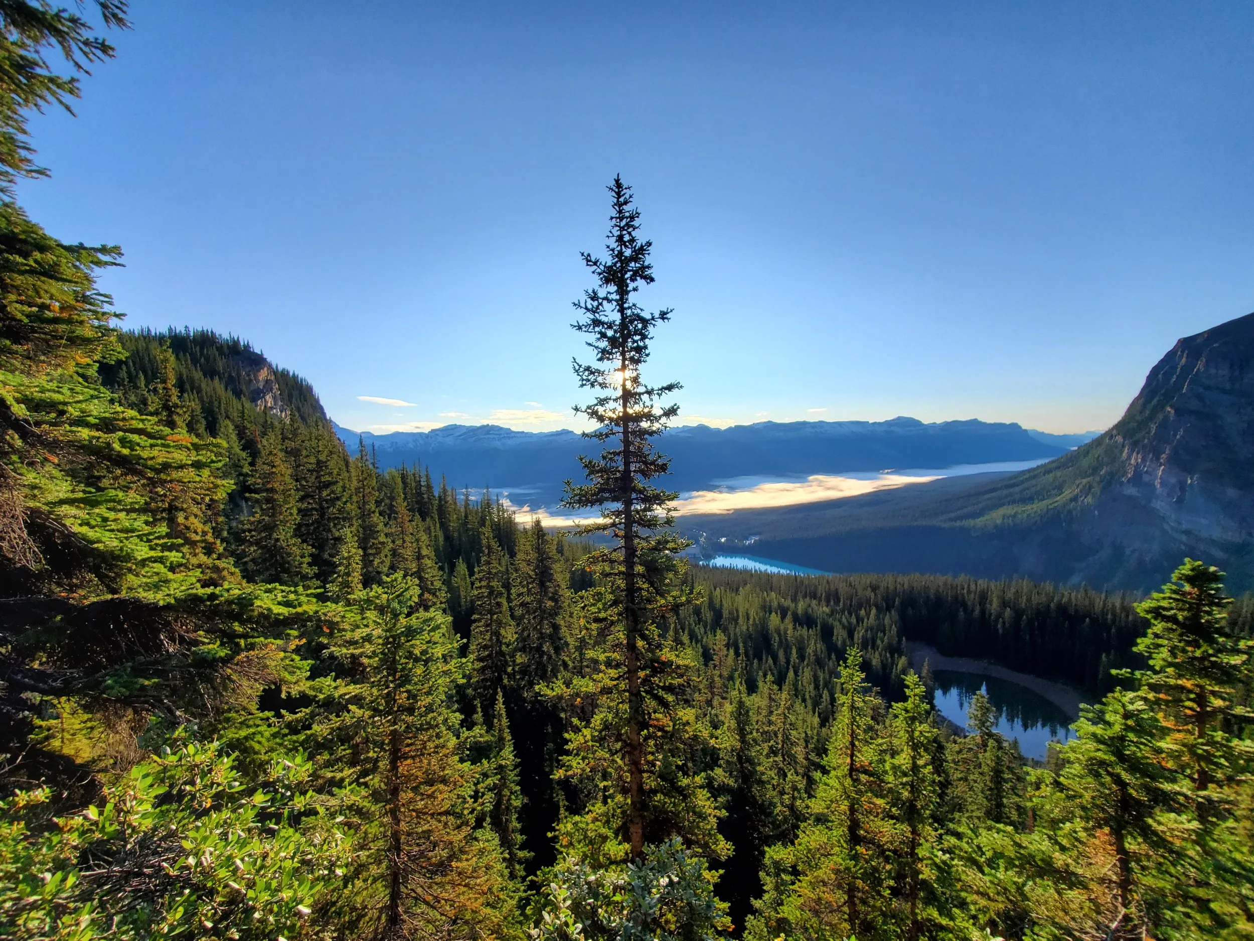
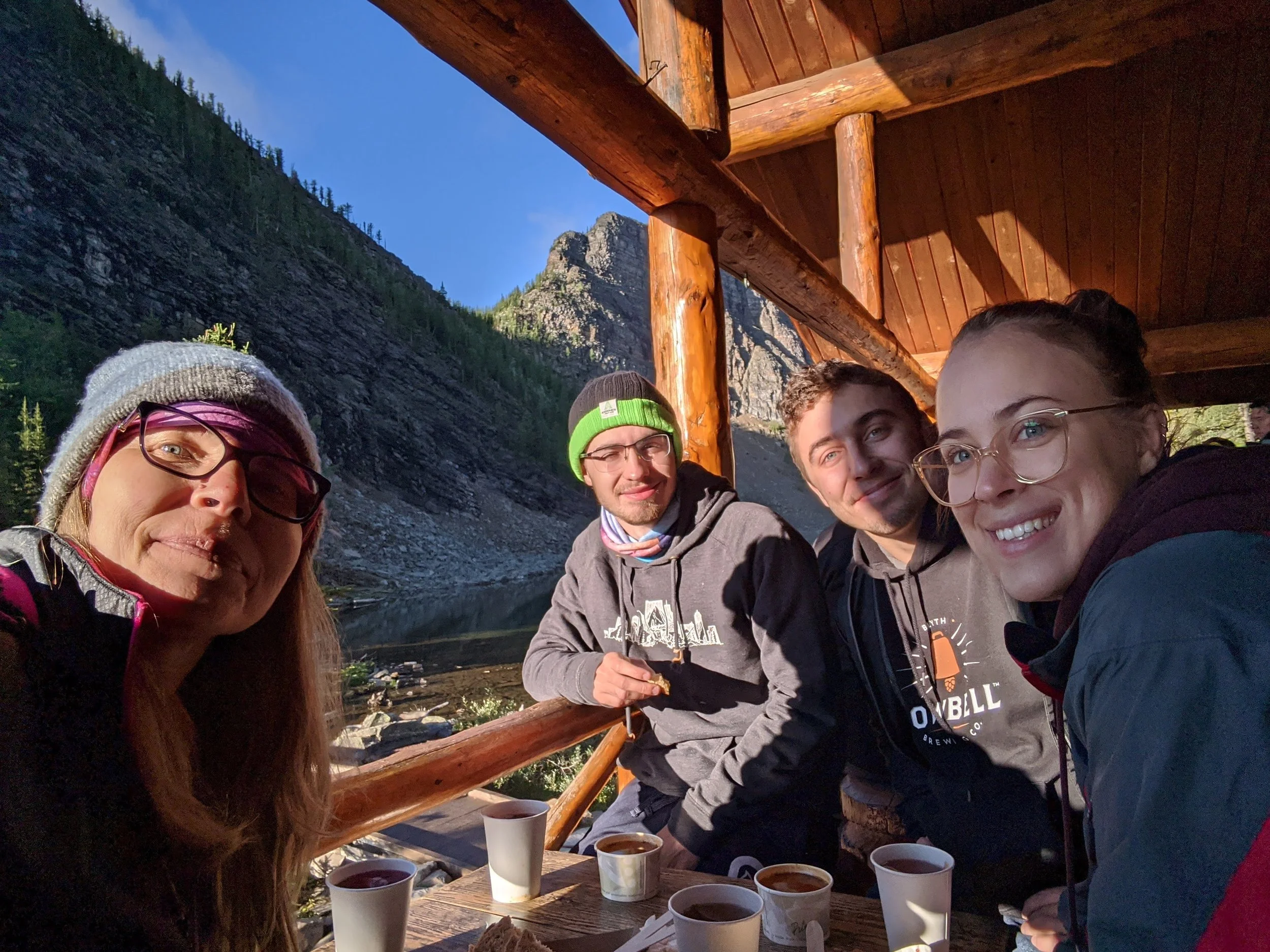
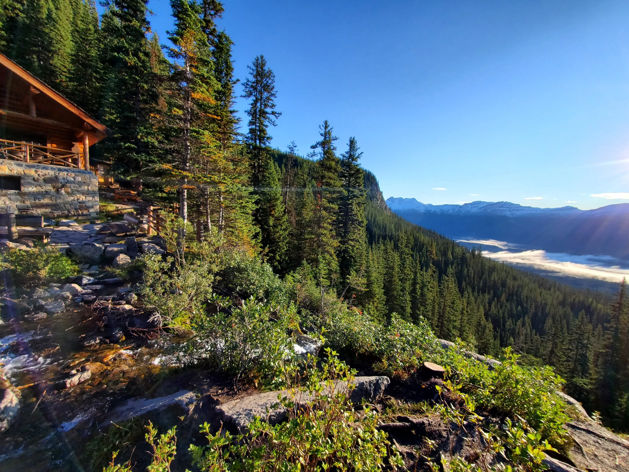
Lake Agnes
Time: 3-3.5 hour return
Difficulty: Moderate
Type: Out-and-back
Distance: 7.4 kilometres
Elevation Gain: 502 metres
Beginning from Lake Louise, the hike up to Agnes is well-maintained. But well-maintained doesn’t necessarily mean easy. There is a constant incline which has its fair share of switch backs, and the path can be a little uneven at times with rocks and roots. About three quarters of the way up, you’ll come to Mirror Lake; the path branches here, follow the signs for the Agnes Tea House to the right and conquer the last 700 metres!
At Lake Agnes there are washrooms and a teahouse that serves a small menu of fresh treats. The scones and soup hit the spot every time and are well worth the wait if you have time!
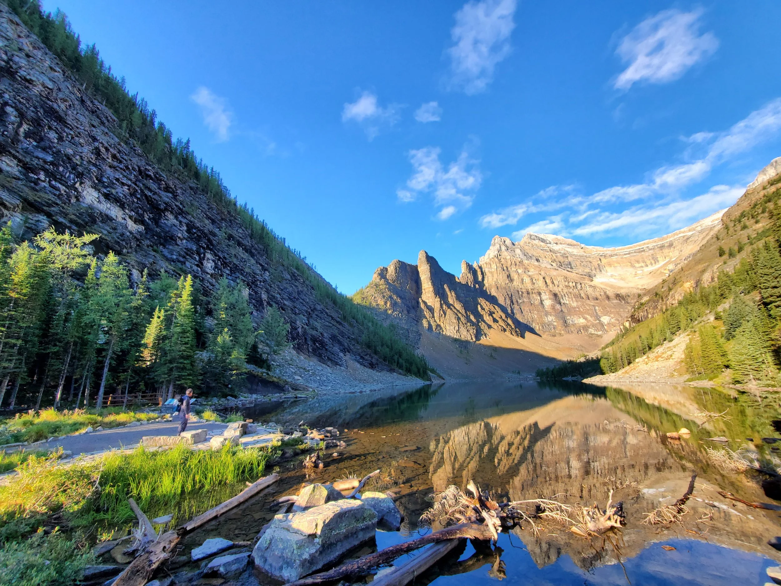
Little Beehive
Time: 4-4.5 hour return
Difficulty: Moderate/difficult
Type: Out-and-back
Distance: 9.3 kilometres
Elevation Gain: 644 metres
Continuing up from Lake Agnes, you will find the trail to the Little Beehive to the right behind the teahouse. Follow the path about a kilometre and you’ll arrive at the summit. With views that carry across endless mountaintops, it’s hard to find a better spot to take in the sunrise.
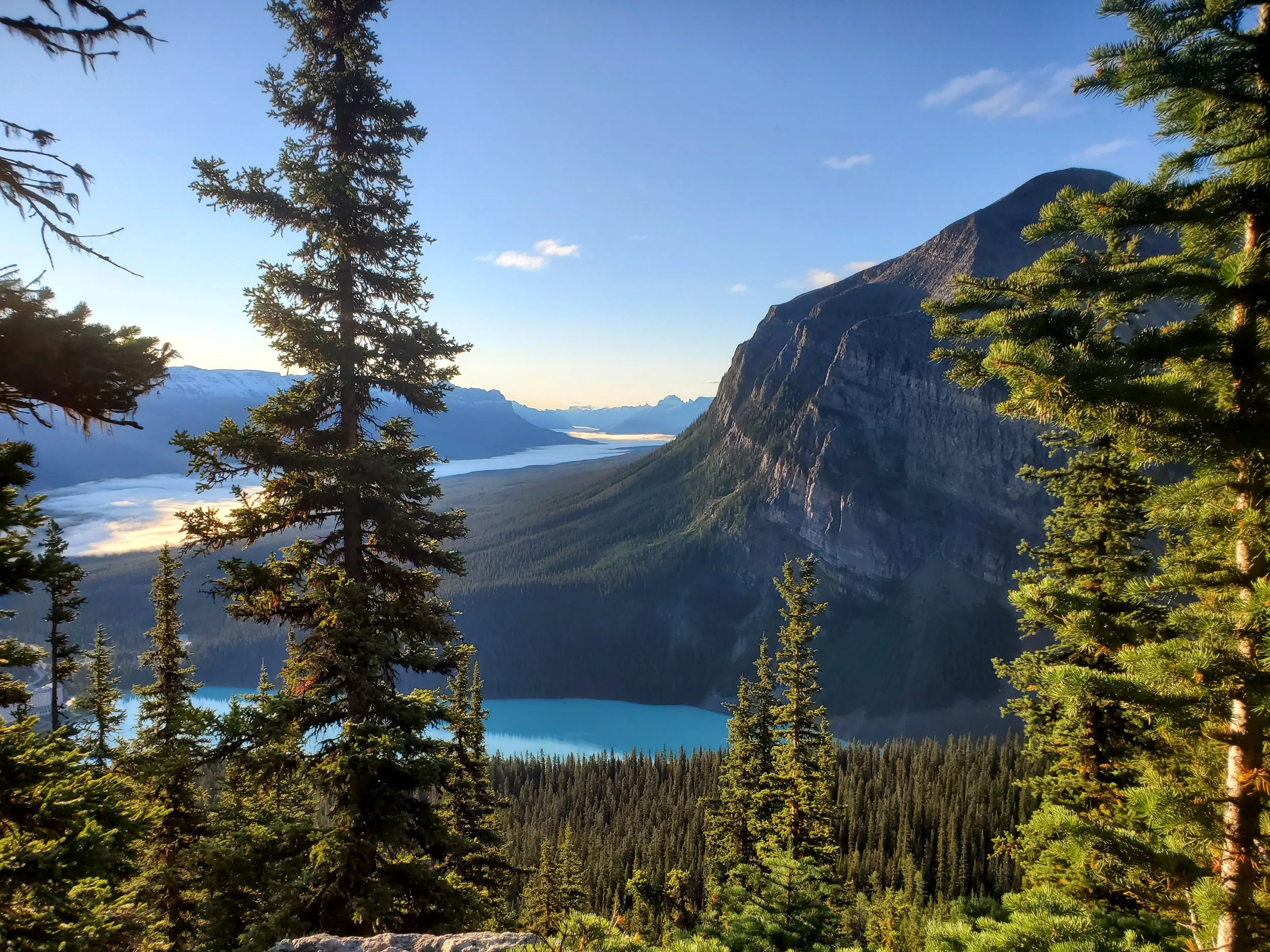
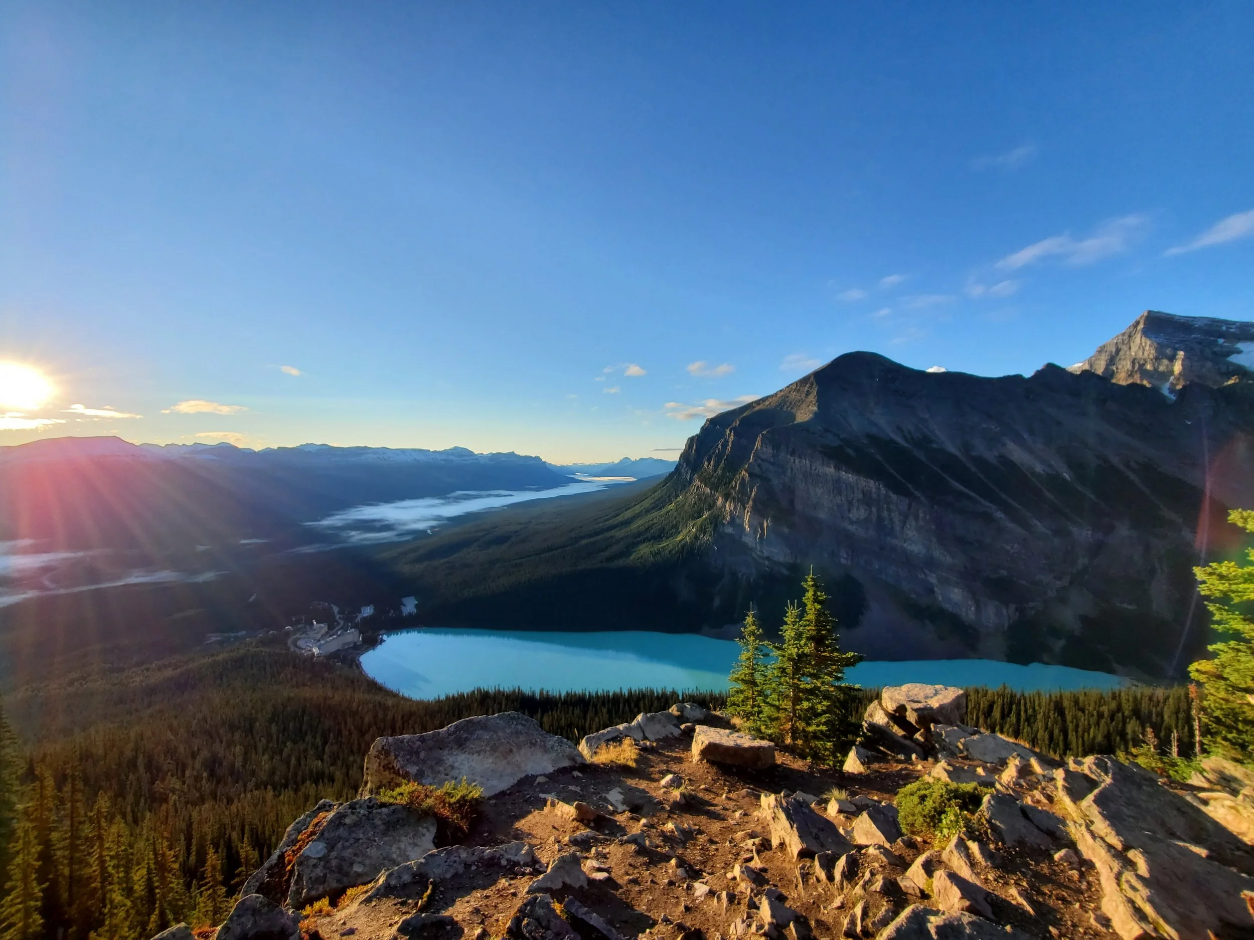
Big Beehive
Time: 4.5-5 hour return
Difficulty: Moderate/difficult
Type: Out-and-back
Distance: 10.1 kilometres
Elevation Gain: 736 metres
If you already made it to Lake Agnes, follow the trail around the lake to the far left side. From here, the path gets a little steeper and is pretty much all switch backs until the summit. However, once you arrive you will be rewarded with a panoramic view of Lake Louise, Victoria Glacier, and the Fairmount hotel below.
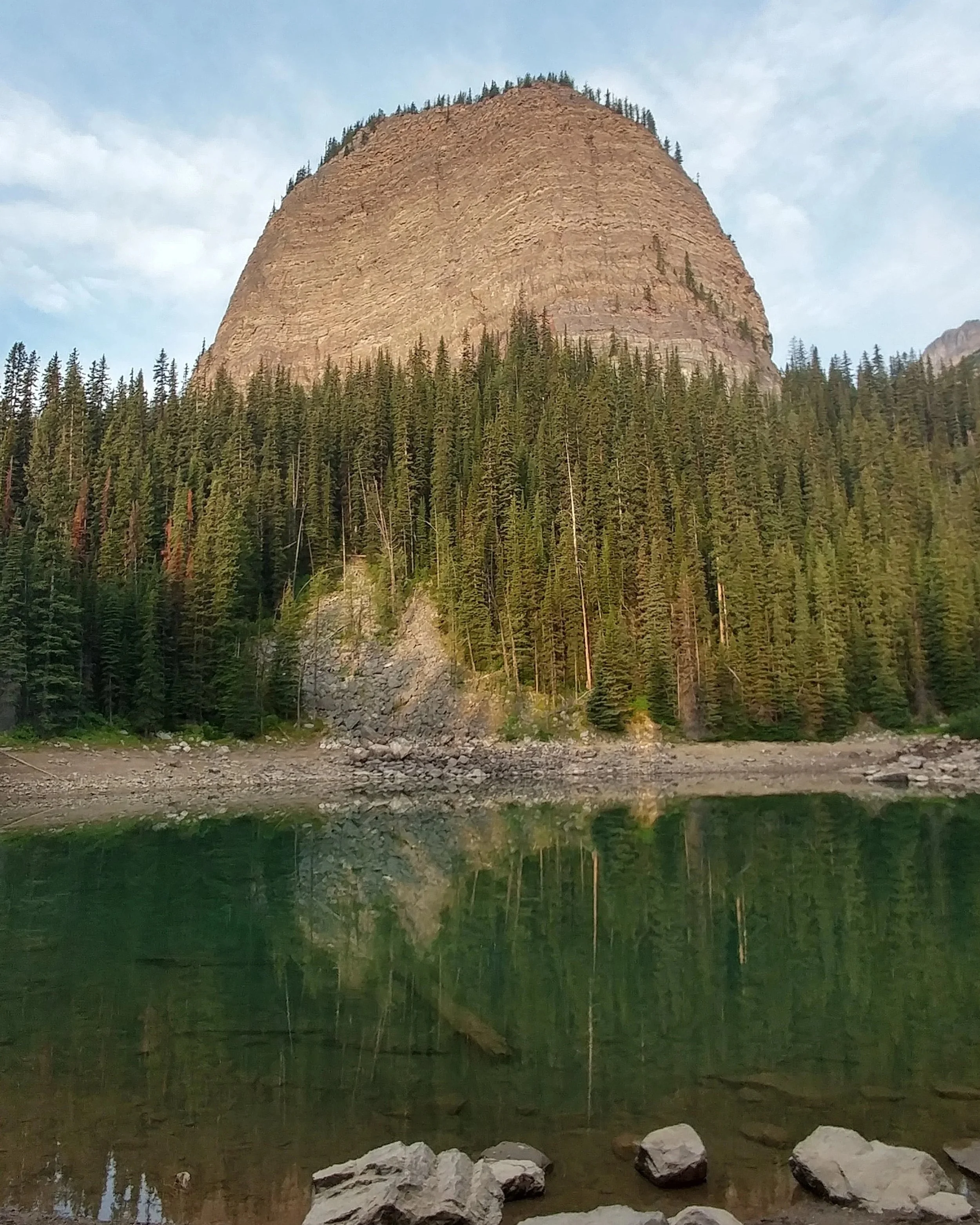
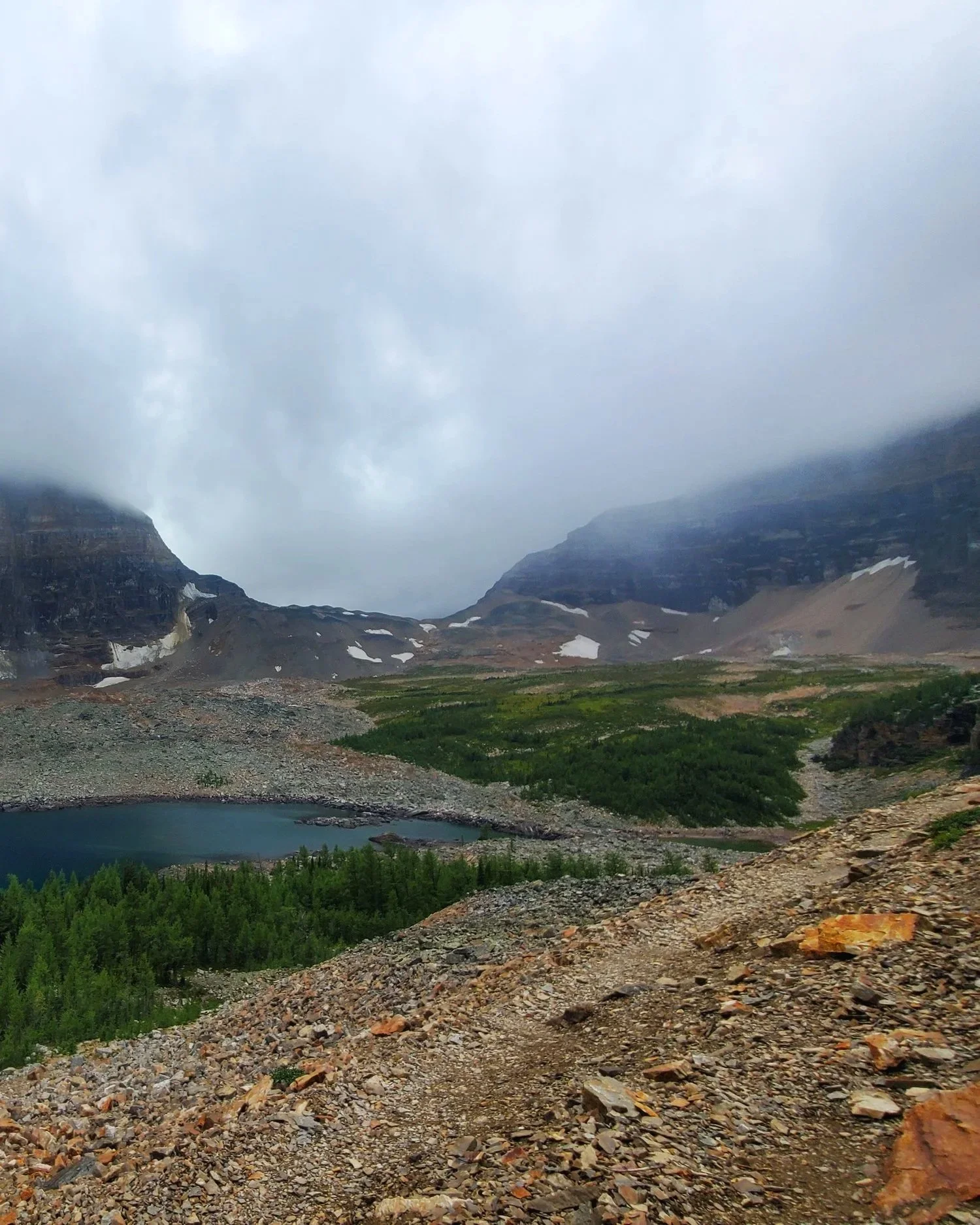
Devil’s Thumb*
Time: 4-4.5 hour return
Difficulty: Difficult
Type: Out-and-back
Distance: 11.7 kilometres
Elevation Gain: 920 metres
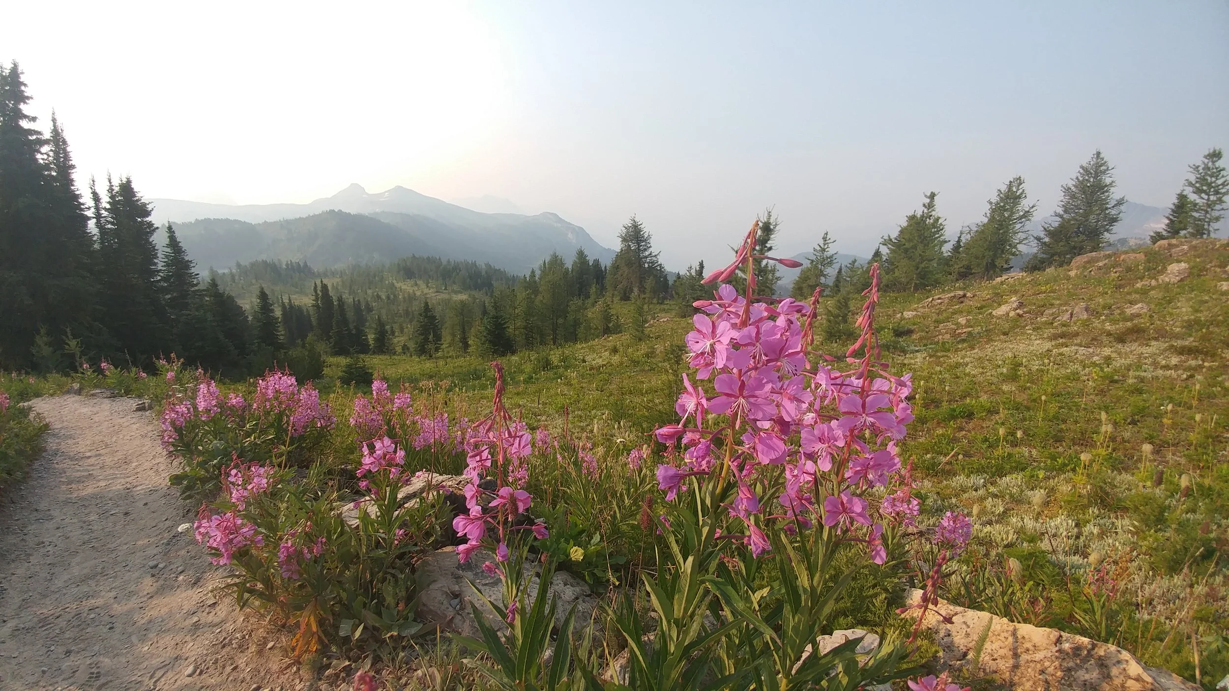
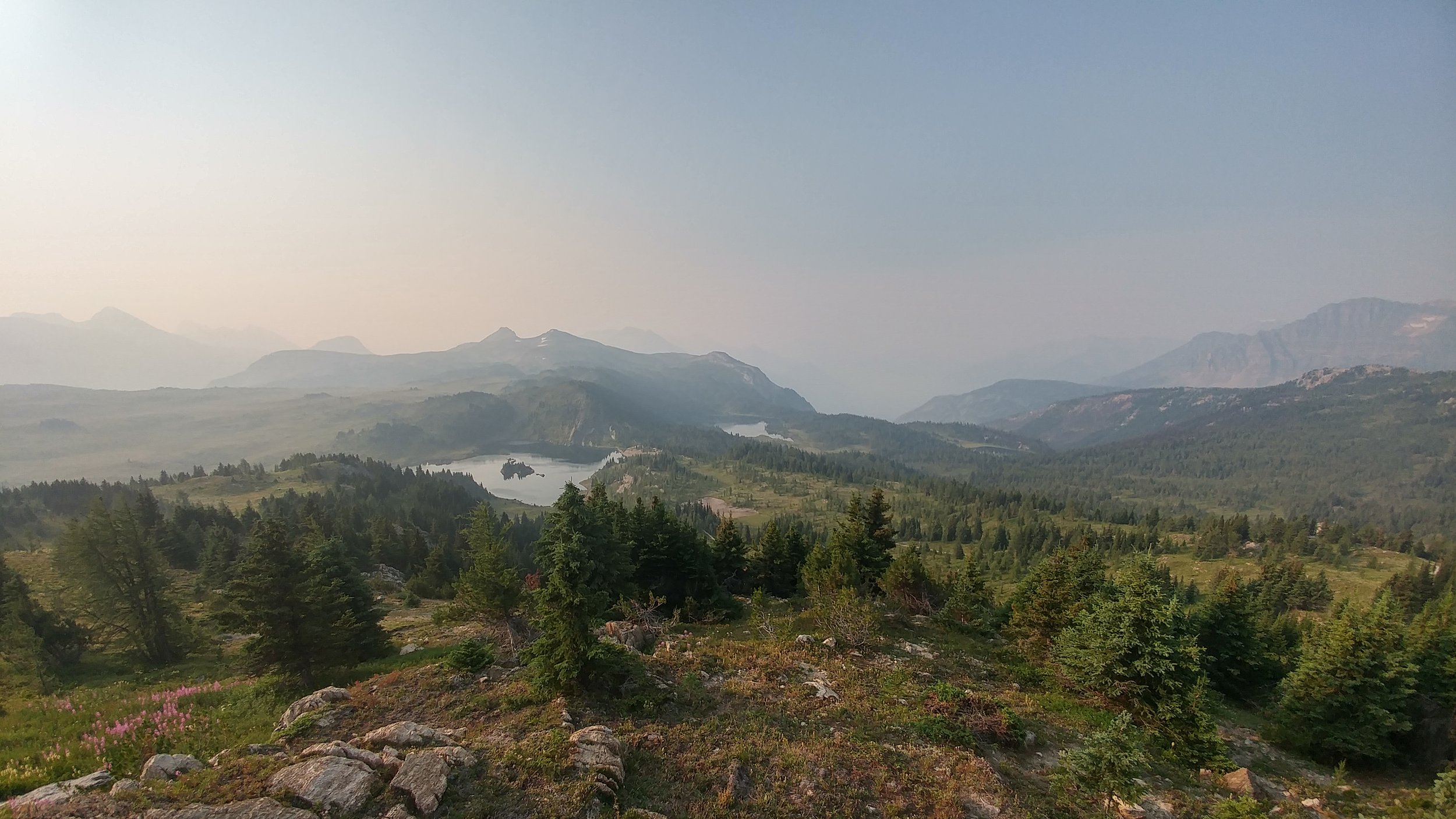
Still not challenging enough? Opposite the Big Beehive viewpoint is the trail that leads up to Devil’s Thumb. It is not recommended for beginner hikers, as the trail gets narrow and crosses loose scree sections. If you do get to the top though, you might be lucky enough to glimpse four glaciers from the viewpoint.
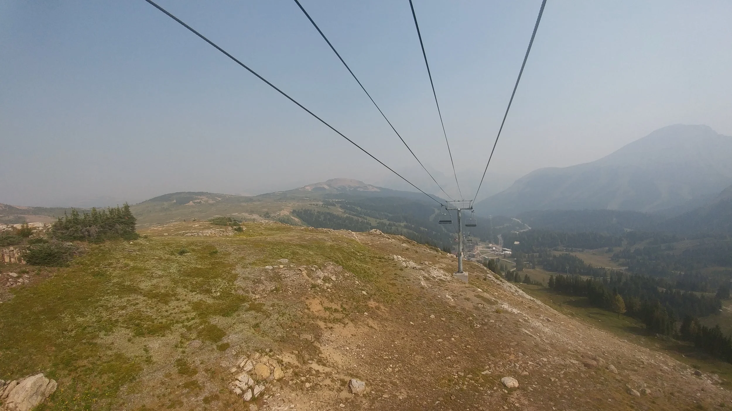
Sunshine Meadows
Time: 3.5-4 hour return
Difficulty: Easy
Type: Loop
Distance: 10.6 kilometres
Elevation Gain: 446 metres
At the top of the Sunshine Village Ski Hill in the summer is Sunshine Meadows. The trail loops through serene alpine meadows with wildflowers and ponds. Very Julie-Andrews-running-through-the-mountains-in-The-Sound-of-Music-esque. The leisurely walk can be accessed by the gondola at Sunshine Village.
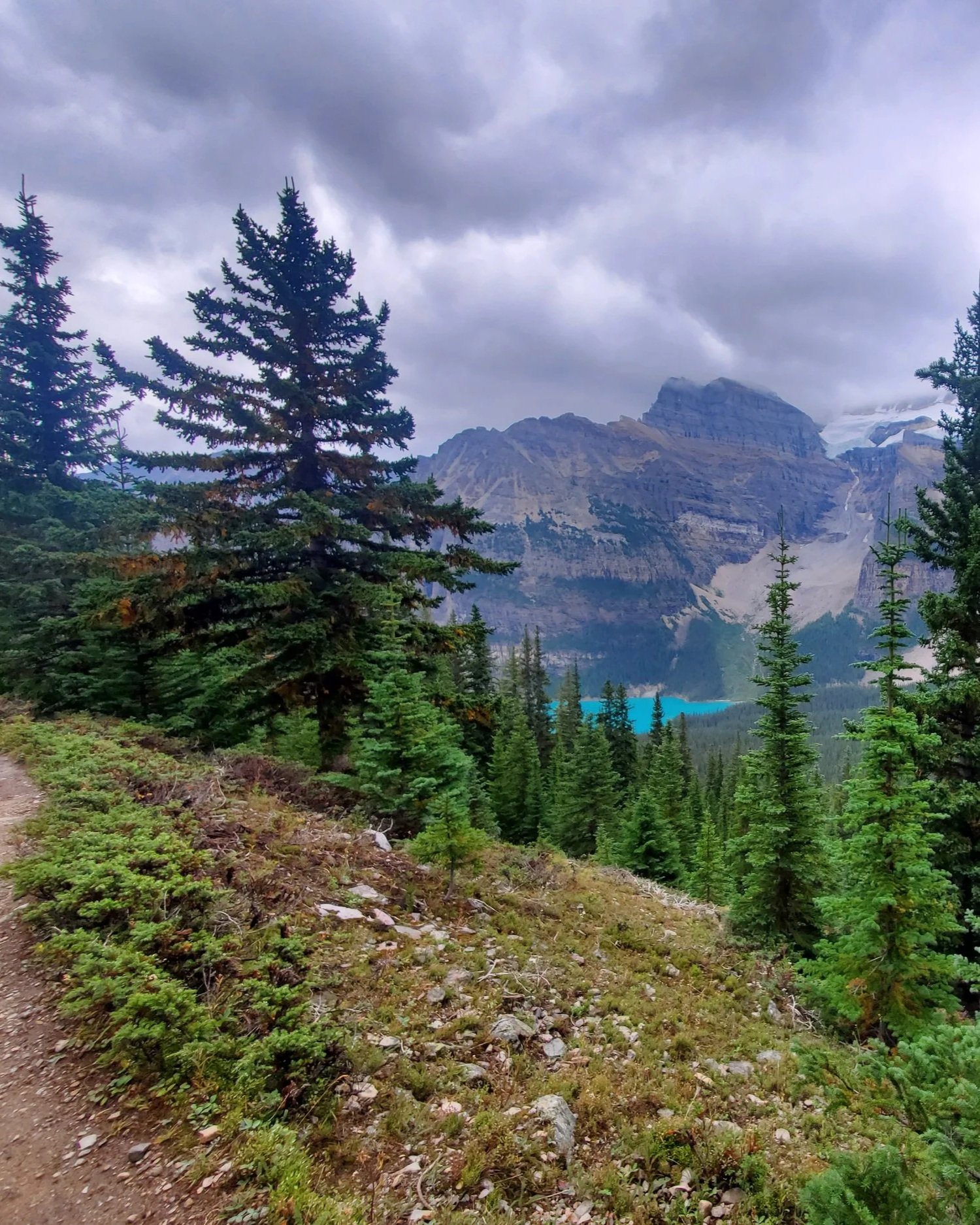
Eiffel Lake
Time: 4.5-5 hours
Difficulty: Moderate
Type: Out-and-back
Distance: 11.9 kilometres
Elevation Gain: 591 metres
After you’re done taking in the views of Moraine Lake, carry on past the Lodge at the end of the parking lot to access the Eiffel Lake trailhead. The trail runs along the mountainside and is relatively narrow after the first section. A short distance before reaching the lake, the path crosses some large rocks which can get quite slippery if there’s been rainfall; stay vigilant and watch your step!
Since my last visit the park has implemented restricted access to Moraine Lake and now can only be reached on foot or by shuttle. The walk is long, and along the edge of the road, so I would suggest the shuttle. It must be booked in advance, you can do so here.
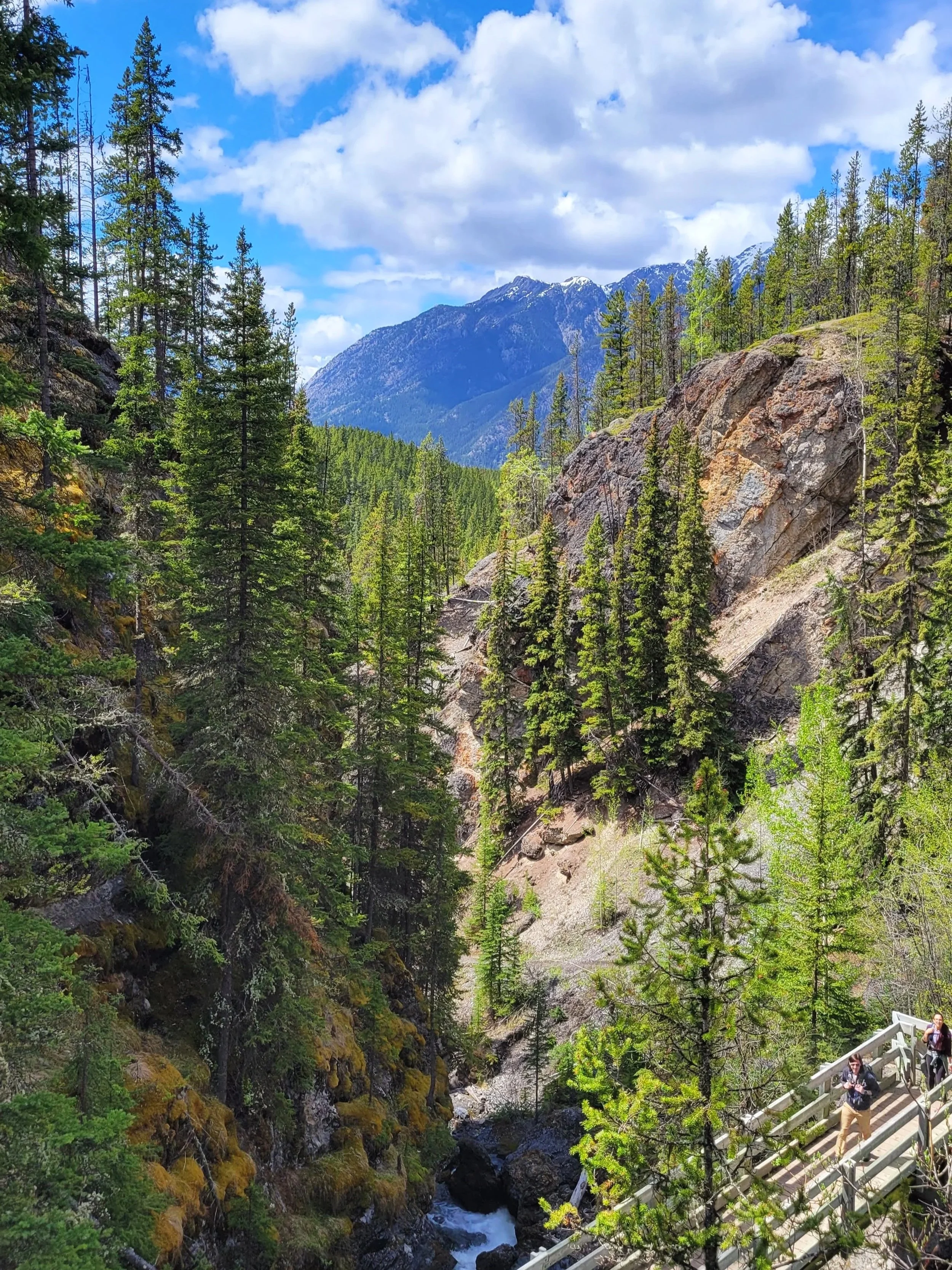
Sundance Canyon
Time: 3-3.5 hour return
Difficulty: Easy
Type: Out-and-back
Distance: 8.9 kilometres
Elevation Gain: 350 metres
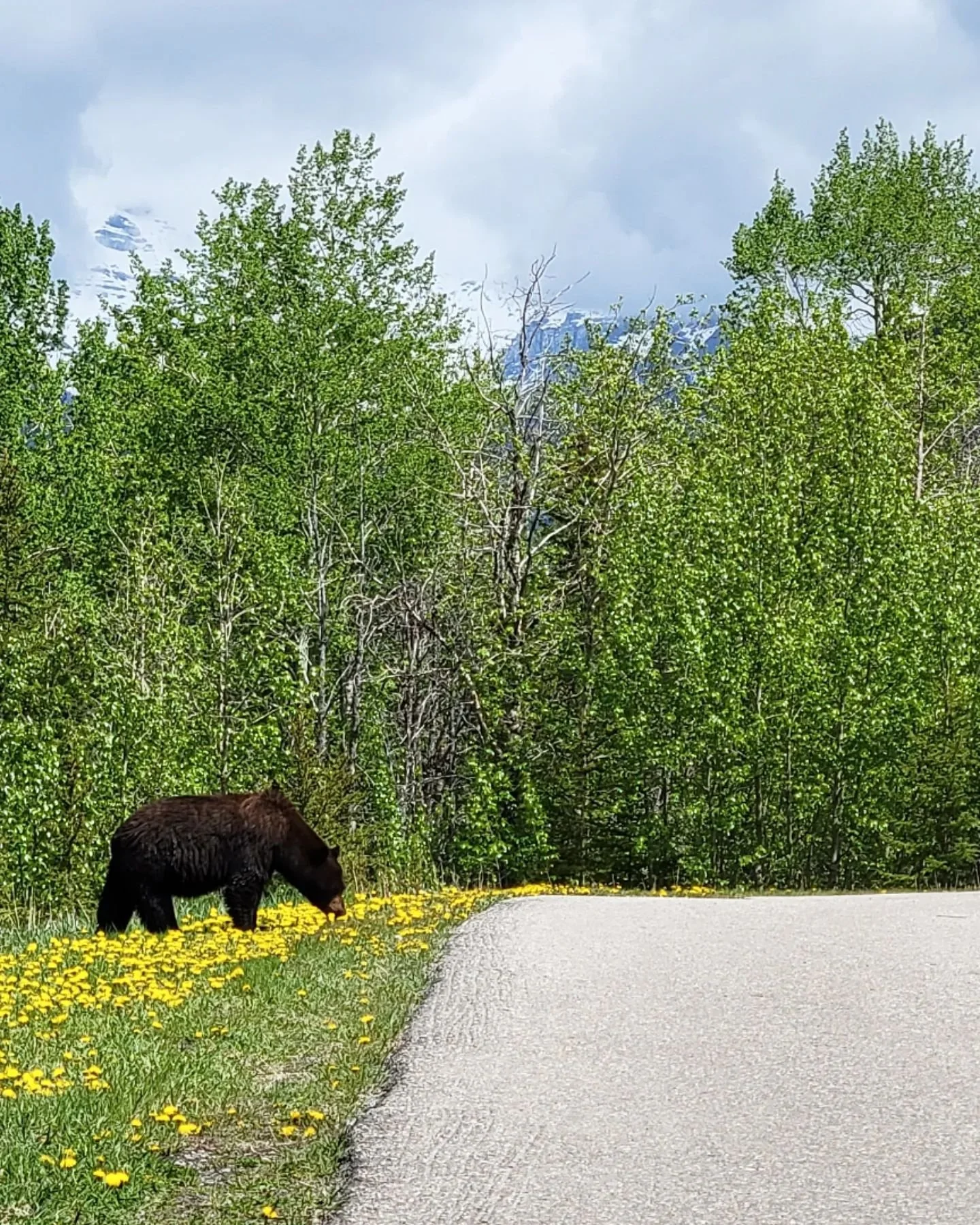
Sundance Canyon is a relatively easy walk that winds along a river and opens up to some amazing views of the snow capped mountains in the distance. There are a couple bridges to cross and views down into the canyon.
When we were here there was a black bear at the trailhead, completely unconcerned with the people passing by. He was much more interested in rolling around and eating dandelions.
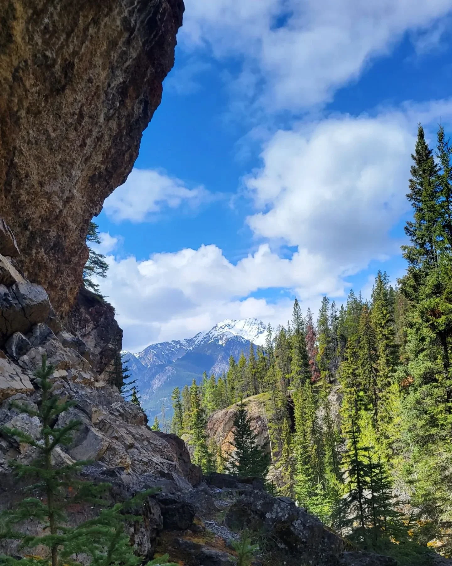
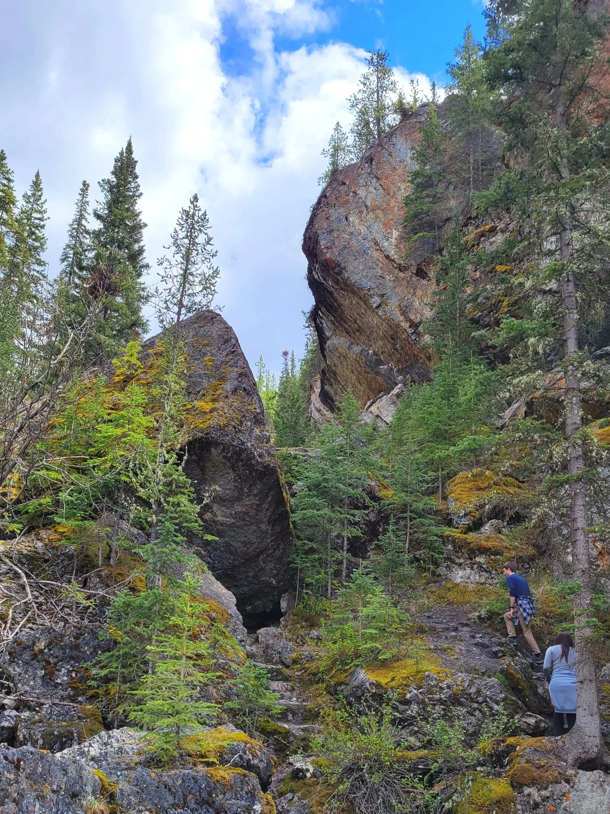
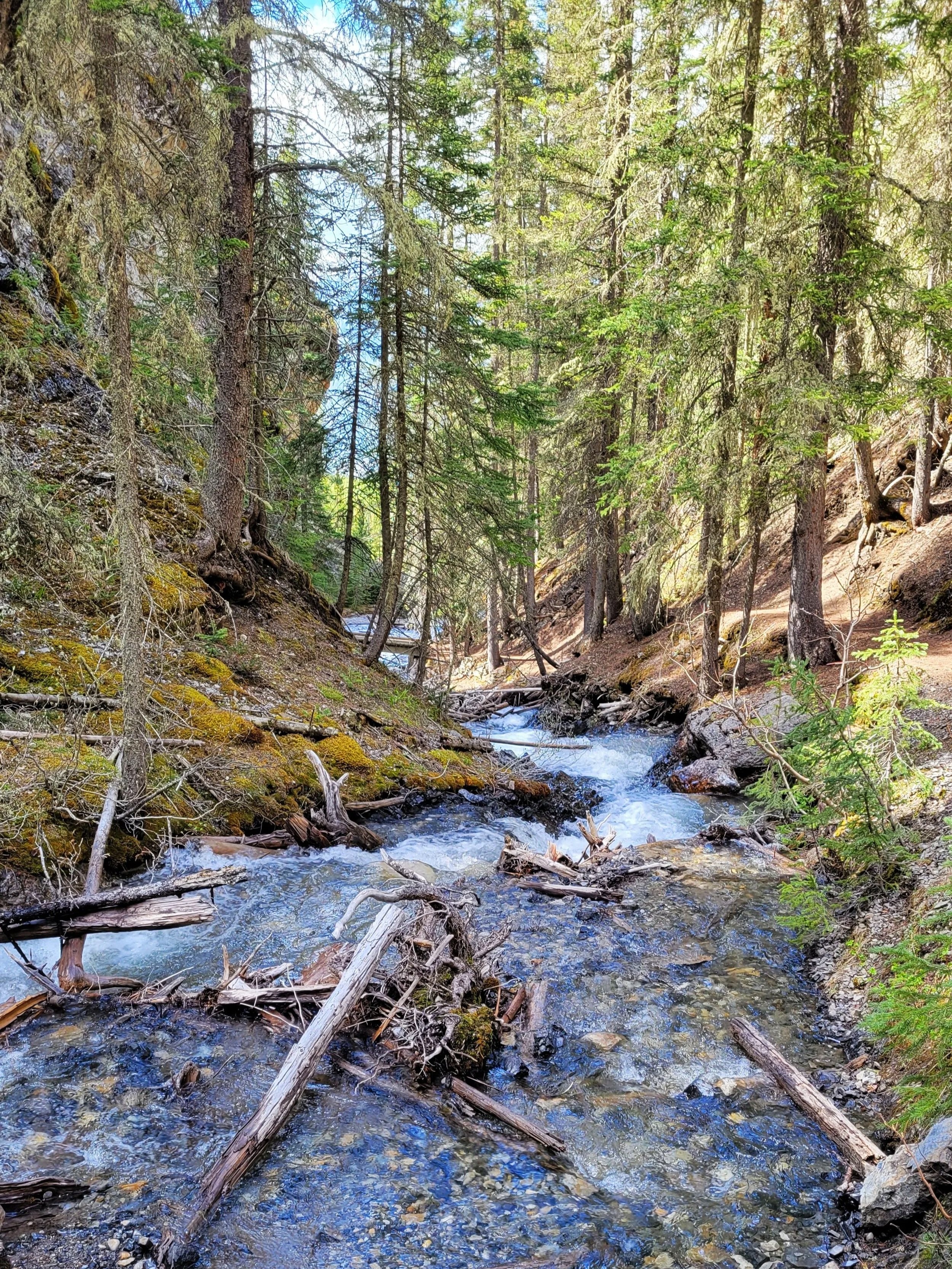
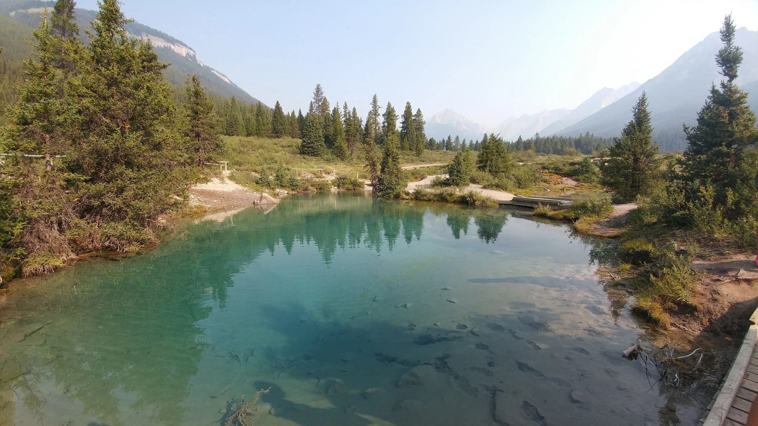
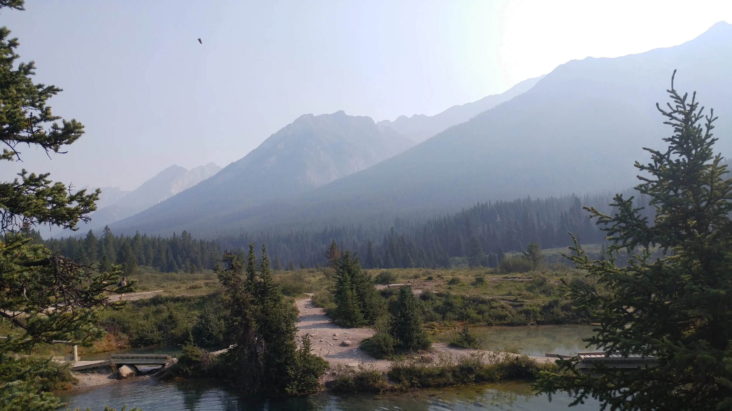
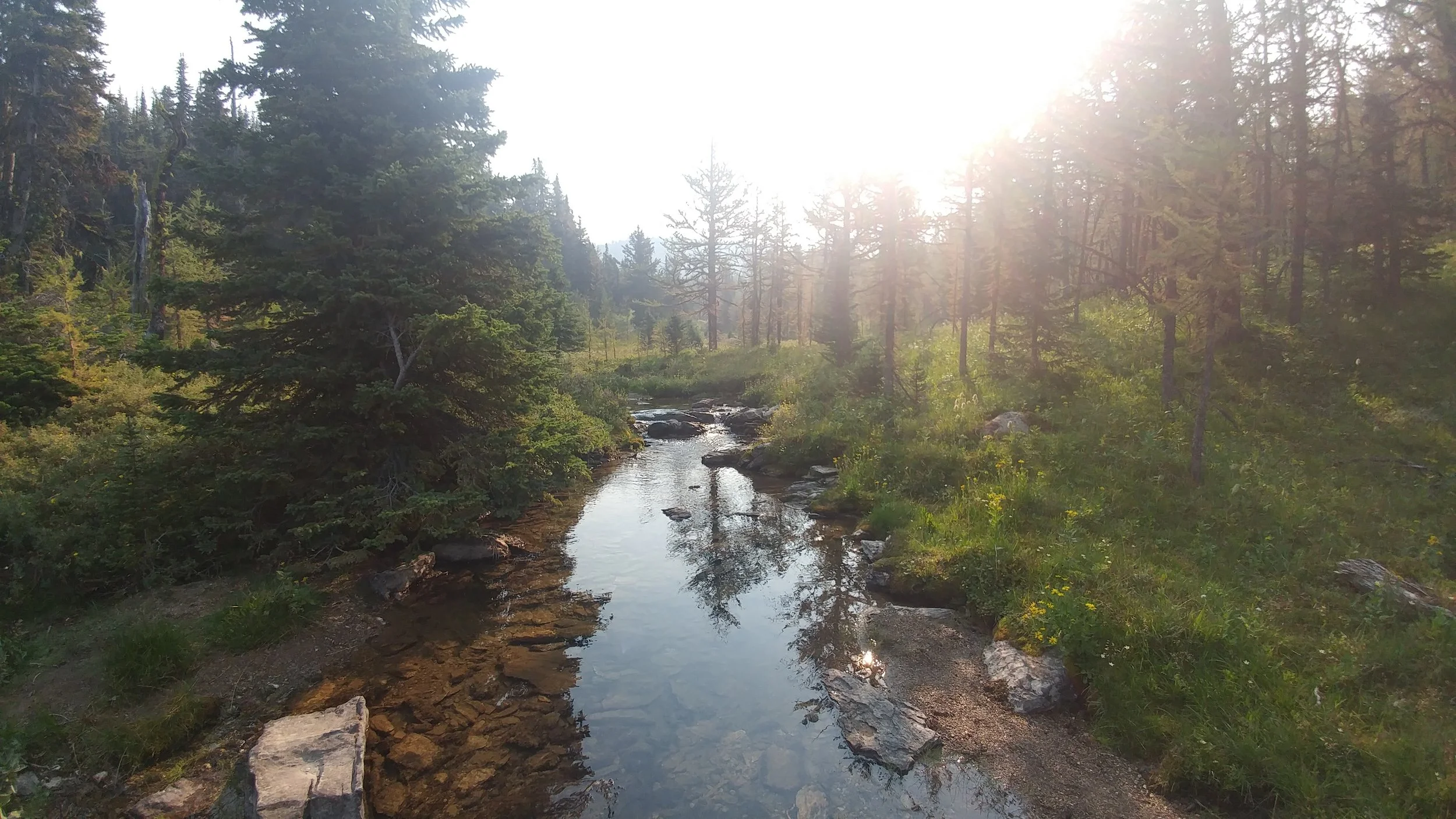
The Ink Pots via Johnston Canyon
Time: 4-5 hour return
Difficulty: Easy
Type: Out-and-back
Distance: 11.3 kilometres
Elevation Gain: 563 metres
The first part of this stretch is wildly popular, crossing metal catwalks which are anchored into the canyon wall, making it very accessible. After passing the lower and upper falls, the crowds will begin to thin. The remaining trail is well-maintained.
When you reach the ink pots, the scenery really opens up to the beautiful landscapes of the area.
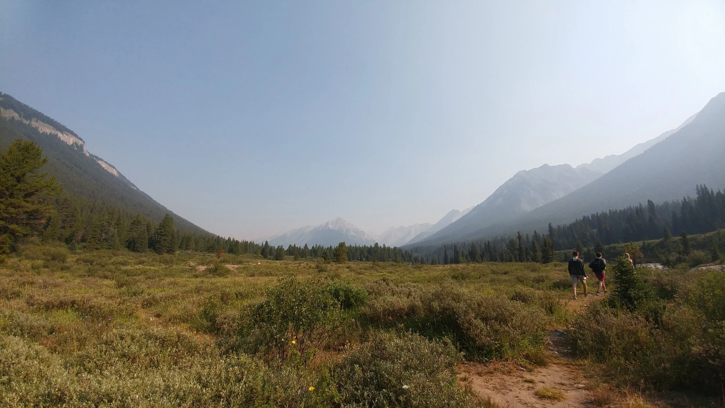
Stewart Canyon Trail
Time: 2-2.5 hour return
Difficulty: Easy/moderate
Type: Out-and-back
Distance: 6 kilometres
Elevation Gain: 236 metres
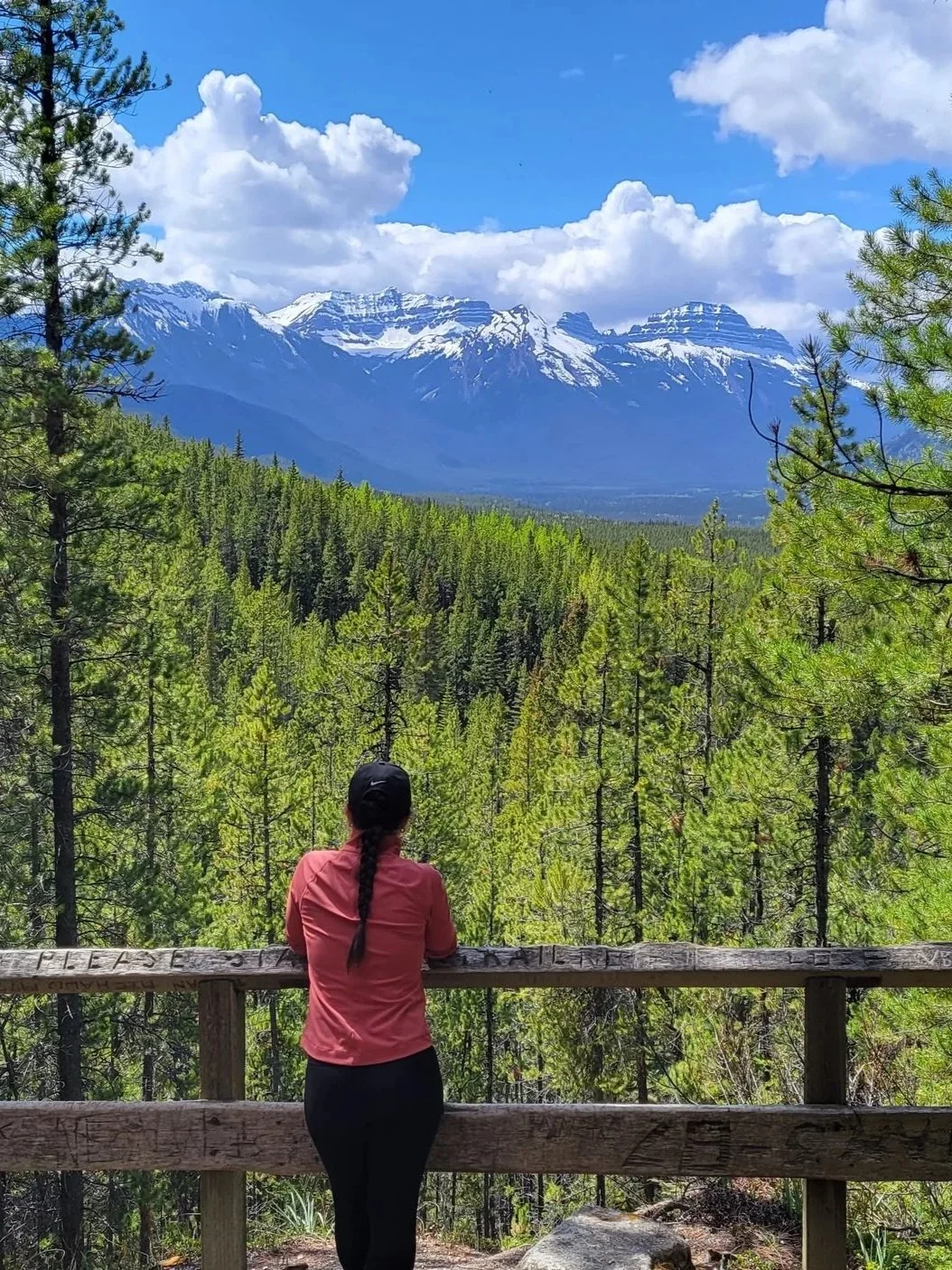
This trail starts from the day-use area at Lake Minnewanka and continues into Stewart Canyon. The views through the canyon are phenomenal; mountains in the distance, pine-covered slopes on either side, rushing water below… need I say more?
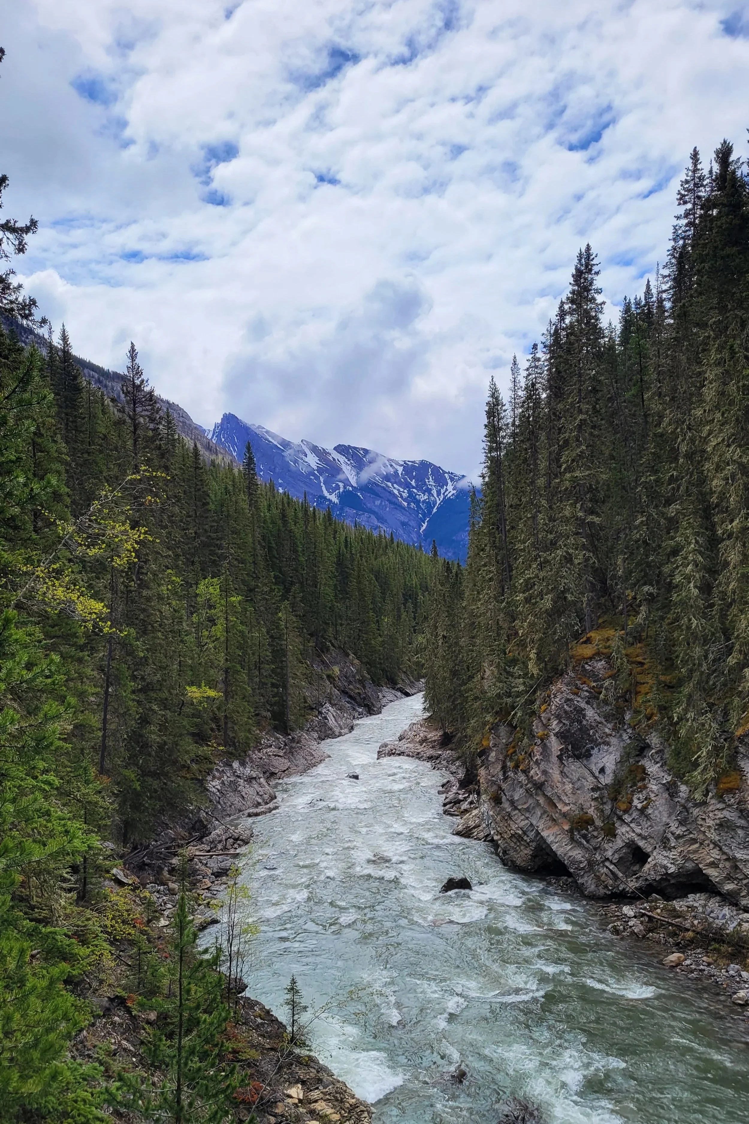
Stewart Canyon view

Peyto Lake from the viewing area
Peyto Lake
Time: 45 minutes-1 hour return
Difficulty: Easy
Type: Out-and-back
Distance: 1.3 kilometres
Elevation Gain: 78 metres
Such a short walk from the car park, one might call it a viewpoint instead of a hike. The views of Peyto Lake below the viewing platform are spectacular. It is one of many worthwhile stops along the Icefields Parkway which connects Banff and Jasper Park.
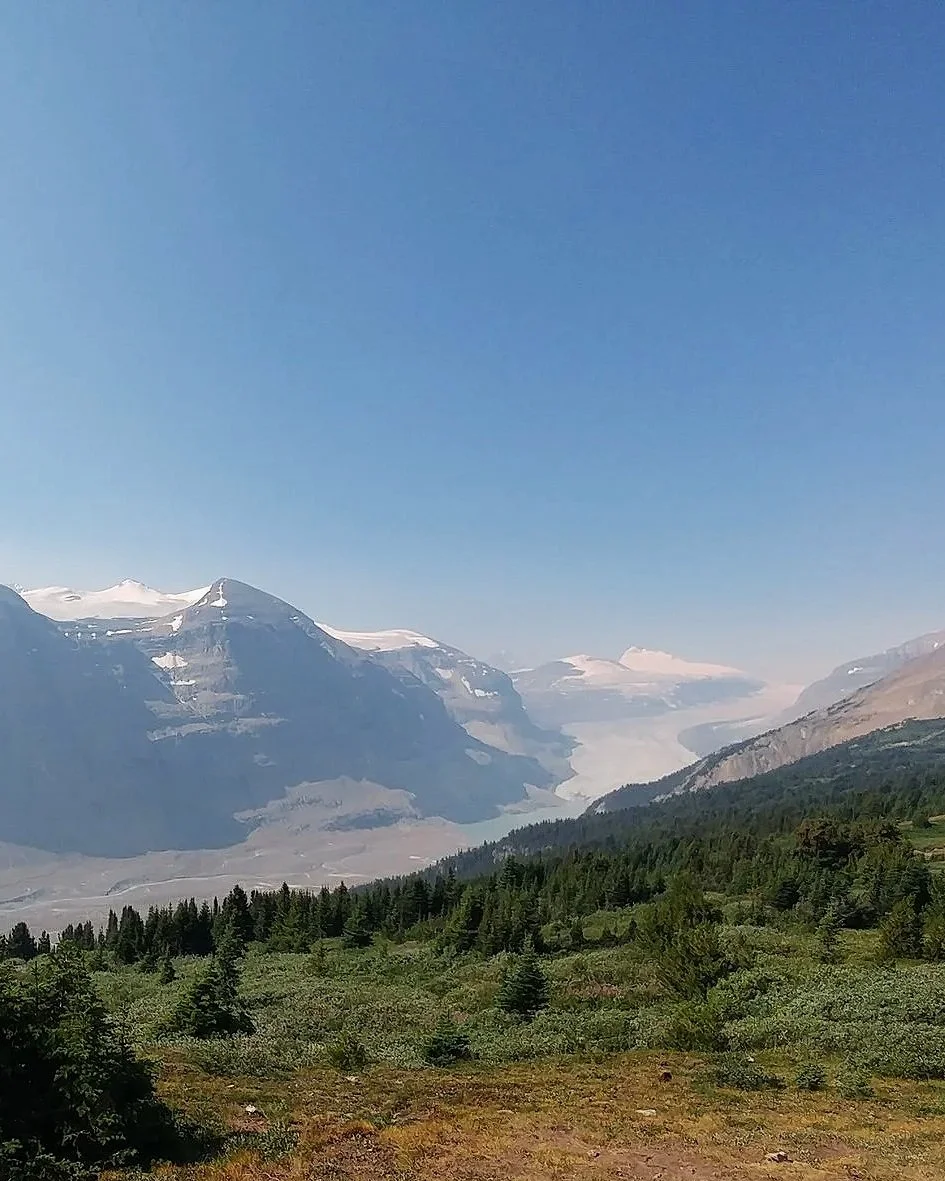
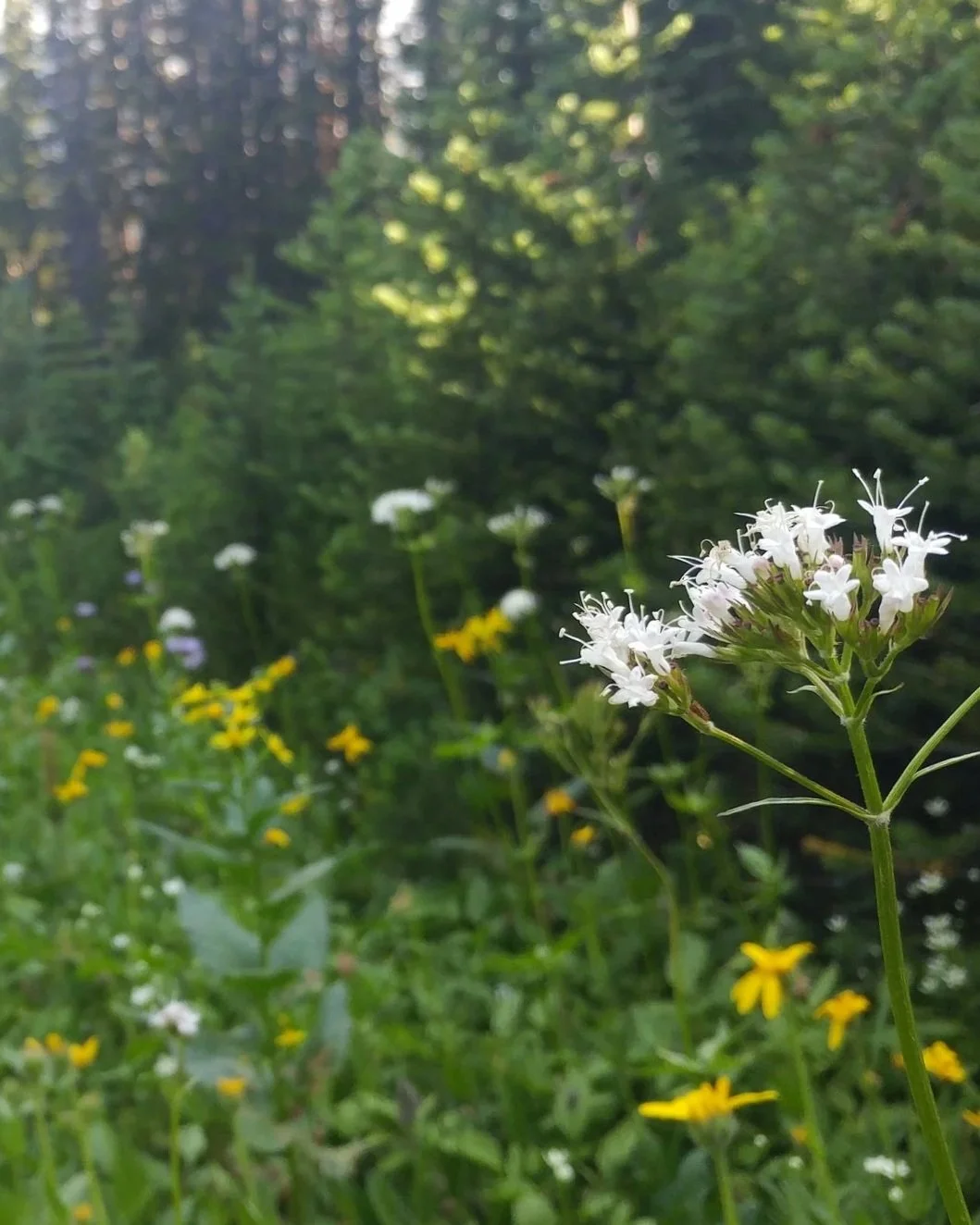
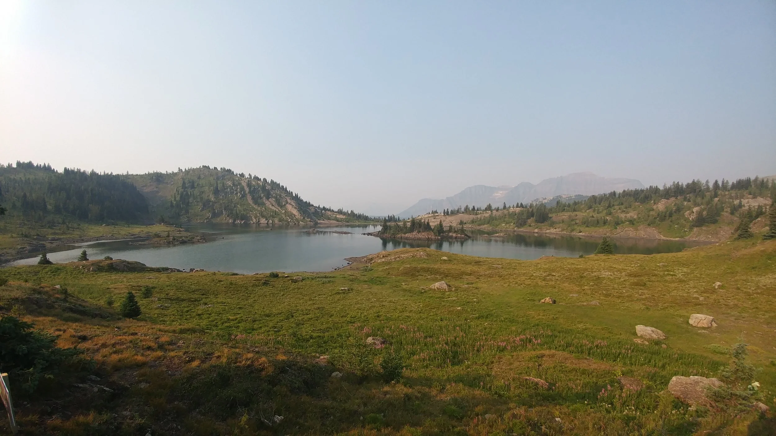
Parker Ridge
Time: 2.5-3 hour return
Difficulty: Moderate
Type: Out-and-back
Distance: 6.6 kilometres
Elevation Gain: 345 metres
Halfway between the towns of Jasper and Banff, on the Icefields Parkway, you’ll find the Parker Ridge trailhead. Pull over, get out of the car and treat yourself to this slightly strenuous out-and-back hike. The path winds up to the ridge with a series of switchbacks, lined with tall trees and wildflowers. When you emerge above the tree line and past the final sharp turns, prepare yourself as the trail changes from packed dirt to loose scree for a short but steep section. As you arrive at the top, bask in the sweeping views of the Saskatchewan River and Saskatchewan Glacier on the other side of the ridge.