Salkantay Trek to Machu Picchu: What to Expect
visited: sept 2024Five days, 65 kilometres, and views that will take your breath away; welcome to the Salkantay Trek.
Hiking the Salkantay Trek
Trying to decide what hike to take on your way to Machu Picchu? The Inca Trail is more famous, but don’t assume that means it’s better. While the Inca Trail is known for its endless stairs, the Salkantay Trek favours rocky, winding dirt trails. Salkantay (also spelt Salcantay/Sallqantay) translates to “savage” — the way is untamed, and incredibly stunning in equal parts.
I’ve broken down the day-by-day of my experience hiking the Salkantay Trek to give you a little insight and make the right choice for you.
So, if you’re up for challenging yourself and trading comfort for a bit of chaos, you’re in for a treat. Here’s how it all went down from glass-domed glamping to walking the ruins of Machu Picchu on day five.
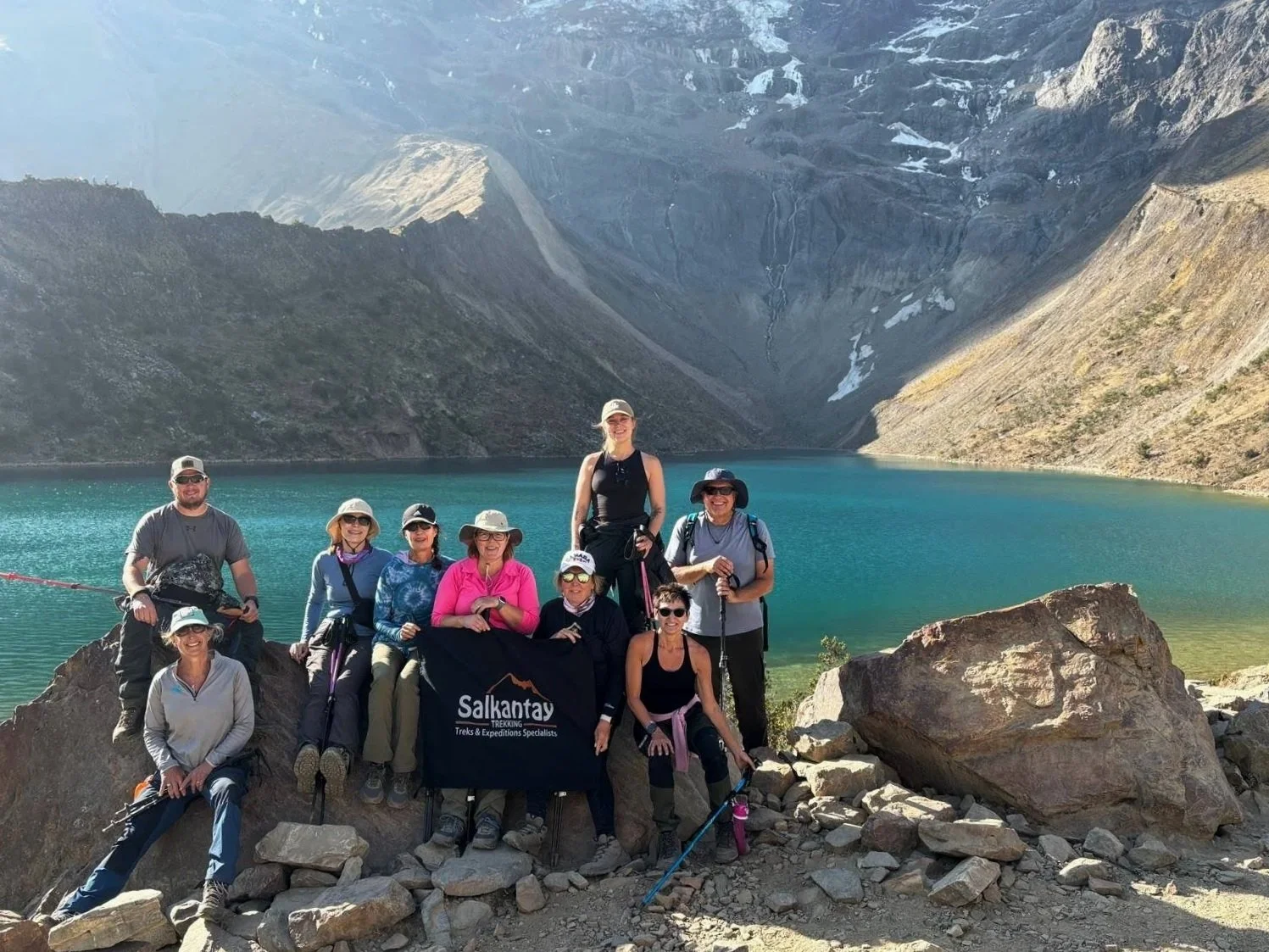
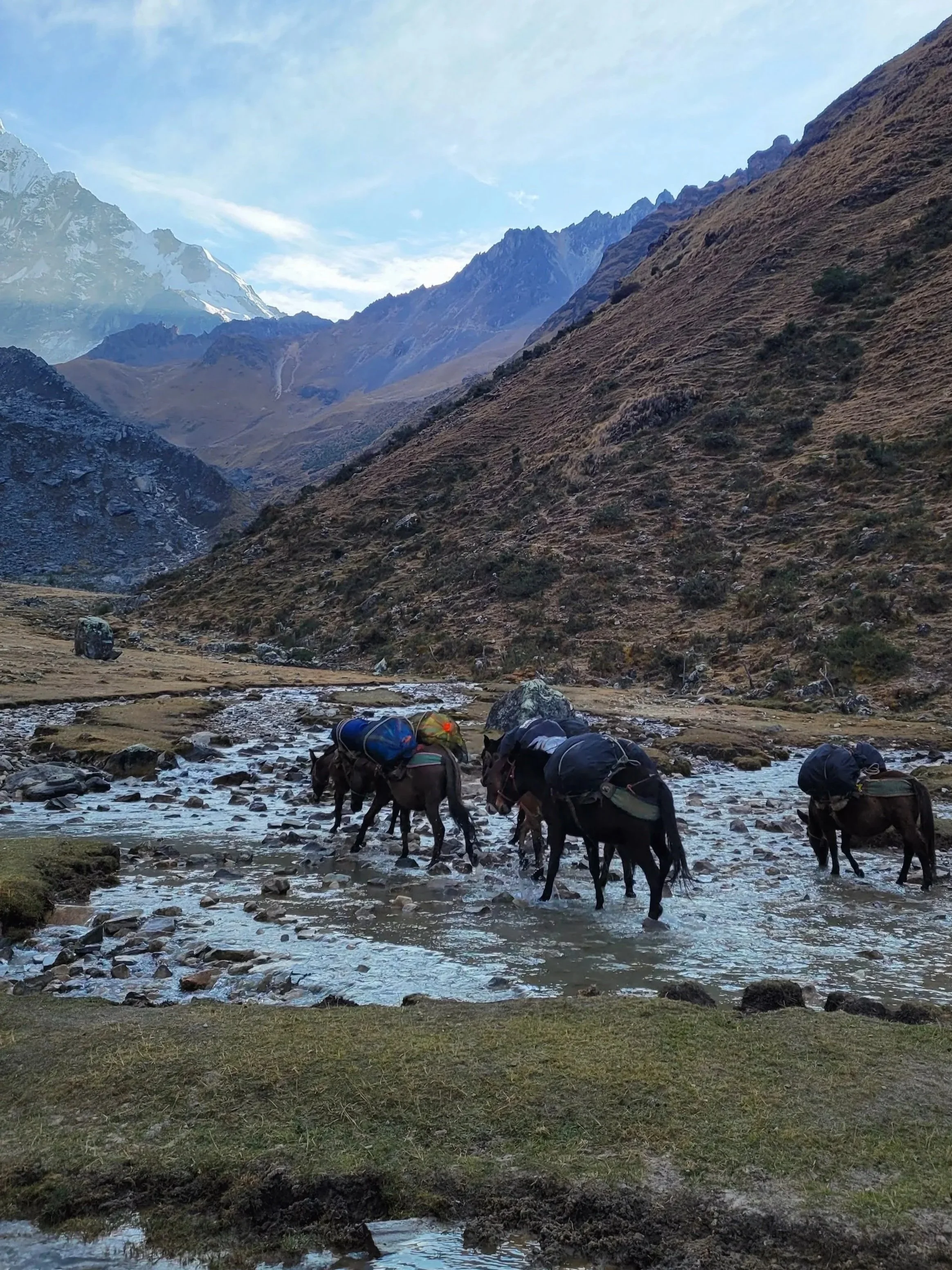
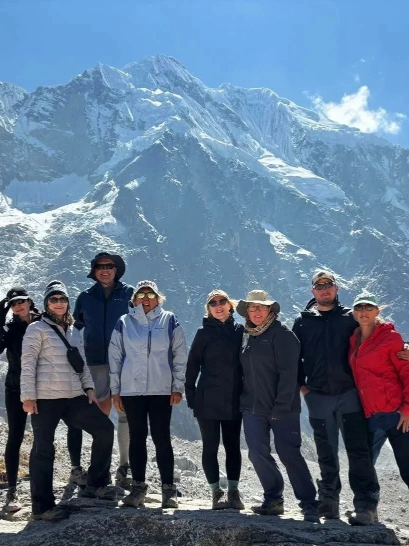
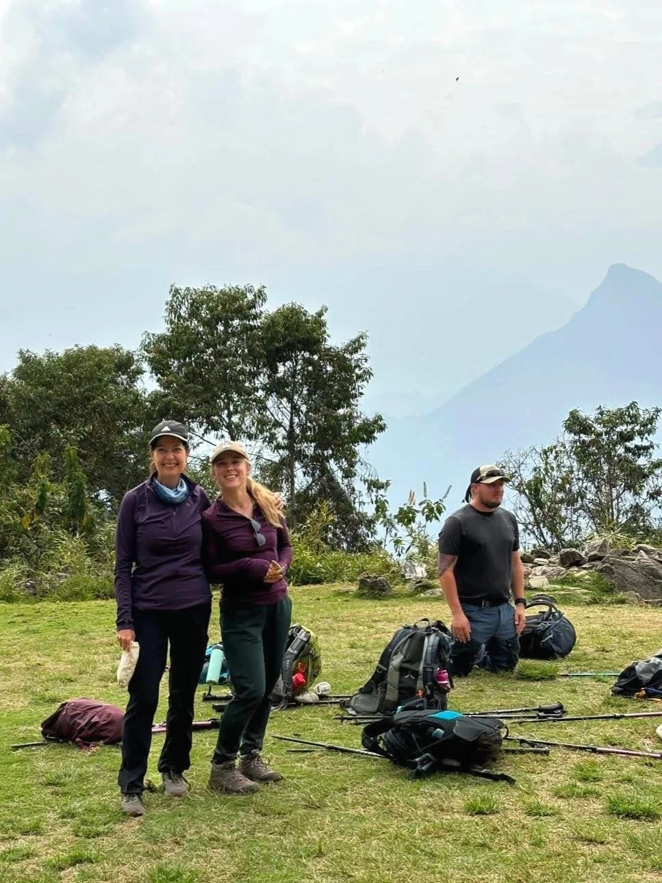
Our group went with Salkantay Trekking company, mid-range on the price scale, and worth every sol for the extra comforts on the trail. That said, there are plenty of companies to choose from, accommodating a wide range of budgets. Our group of nine had a full team with us — porters, cooks, and a guide. All we had to carry were our day packs and snacks; the mules handled the rest, moving our gear from camp to camp. Our cooks even whipped up breakfast, lunch, and dinner for us every day. We also had incredible, private accommodations, which were greatly appreciated after the long days on the trail.
→ New to hiking? Start here: Hiking 101. Learn how to choose trails, hiking terms, and what to pack (without overdoing it).

Day 1 |10 km
We were picked up in Cusco at 4:30 am by Nico, our guide, and immediately set off on the three-hour drive to Challacancha (3,800 m/12,467 ft). When we arrived, Nico handed out snack bags before the work began, reminding everyone to stay hydrated and nourished while on the move.
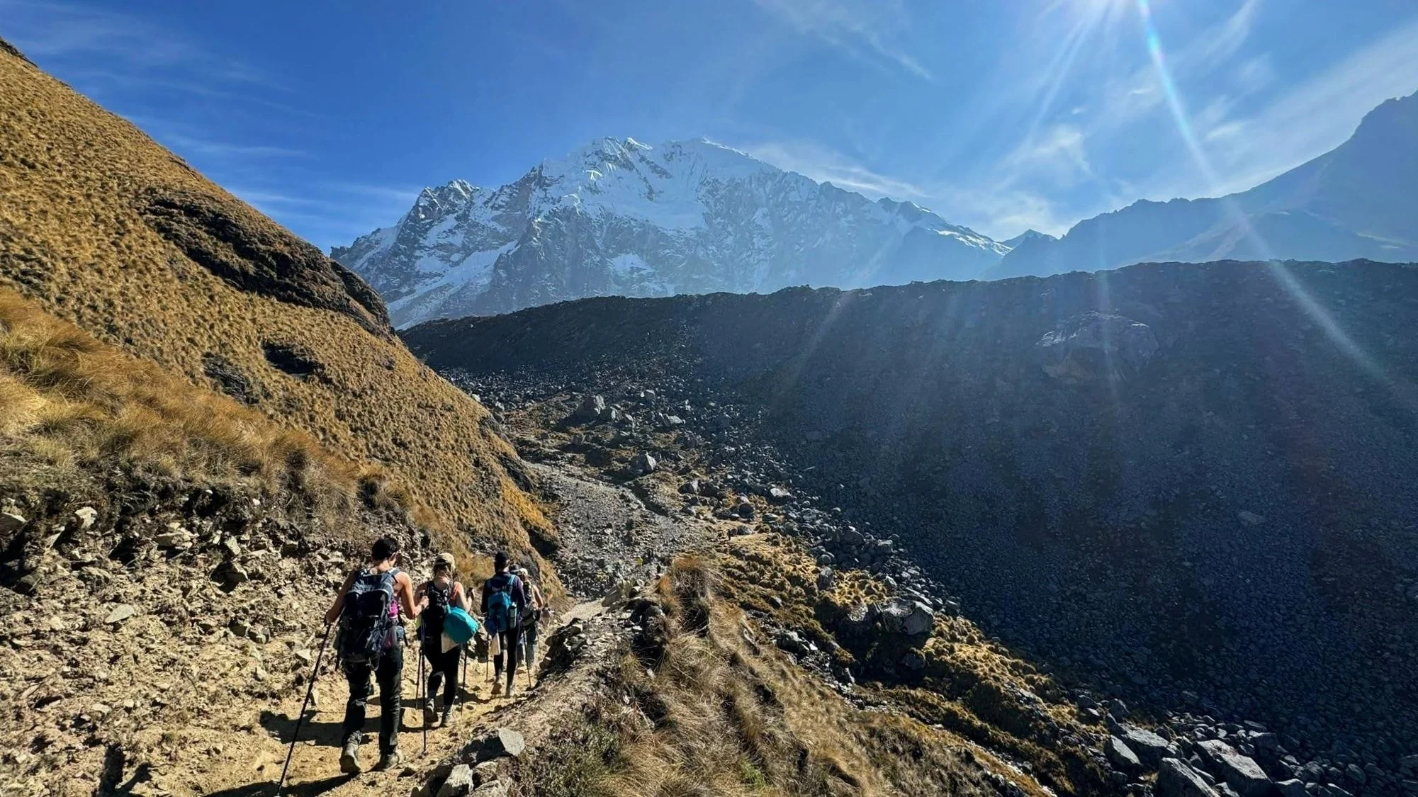
We tackled the elevation gain immediately, with a series of switchbacks which got the heart pumping and loosened the muscles. Nico was great about pacing the group, taking frequent pauses to allow everyone time to adjust to the altitude. Once the initial climb was taken care of, the remaining journey to camp felt like a casual stroll, winding through trees with stunning views of the valley to the right. After about two hours of hiking, we arrived in Soraypampa (3,900 m/12,795 ft), our camp for the night.
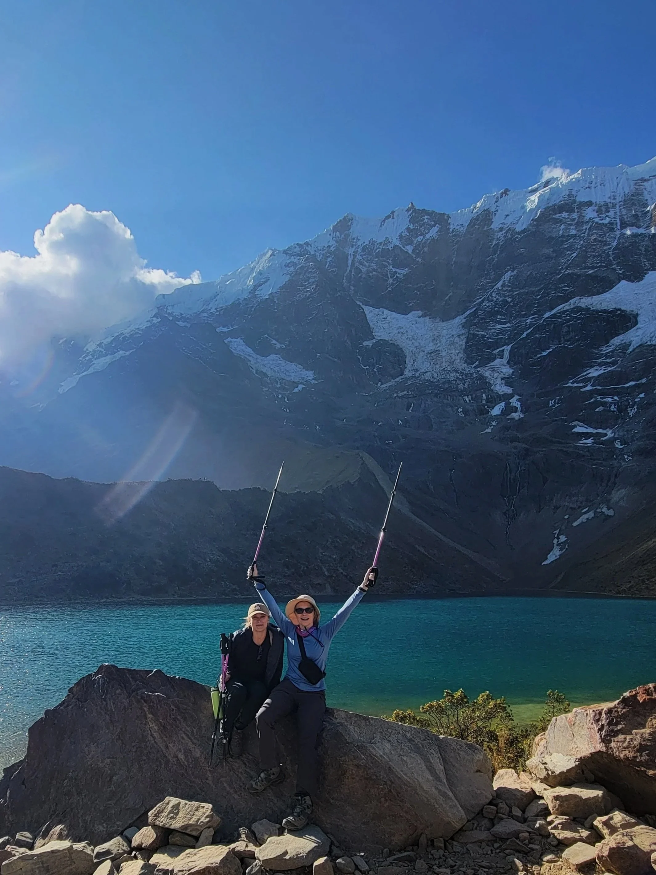
After lunch and a quick rest, we set off for Humantay Lake (4,200 m/13,780 ft). It’s a short, but steep climb — 300 metres (984 ft) of elevation gain in 1.5 kilometres (0.9 mi), for a gorgeous and equally exhausting out & back hike. This is entirely optional, but I highly recommend it, both as a way to prepare you for the next day and to be awed by the beauty of the glacial lake surrounded by snow-capped mountains.
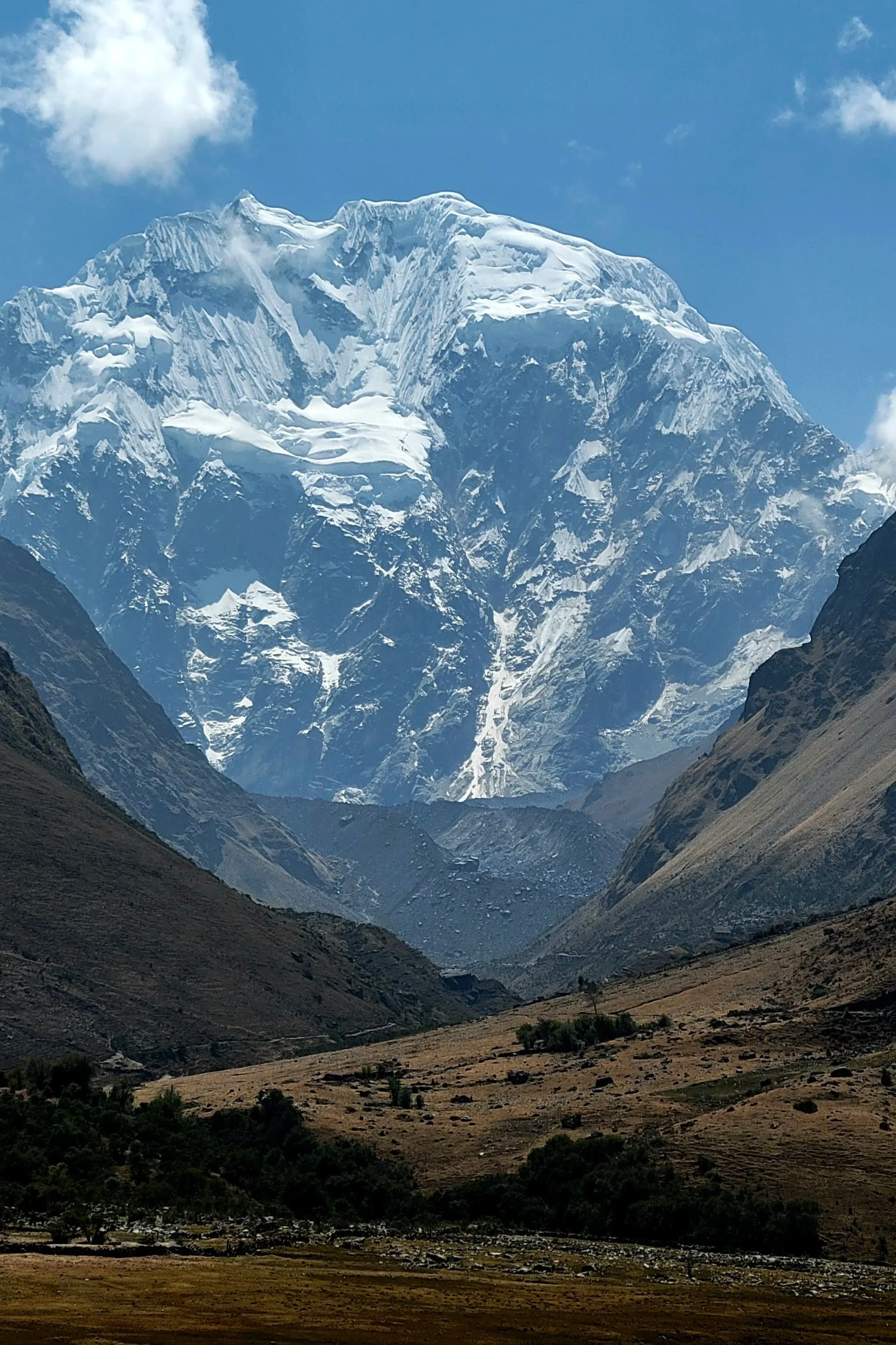
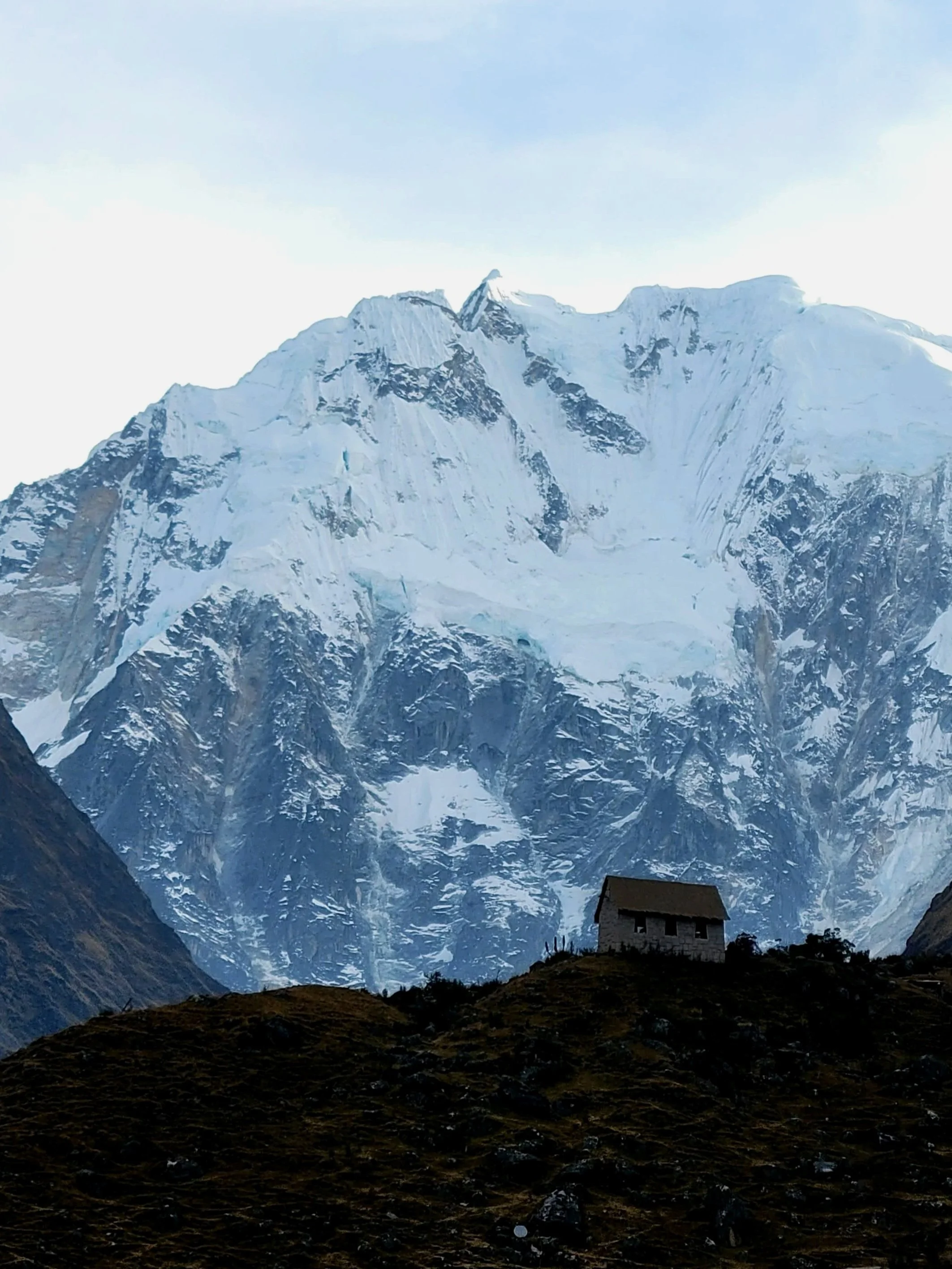
Once we arrived back down to camp, we had an early dinner and headed to bed in anticipation of our early wake-up call. Nestled into our sleeping bags, we had incredible starry night views, with the Salkantay peak in the distance.
Day 2 | 22 km
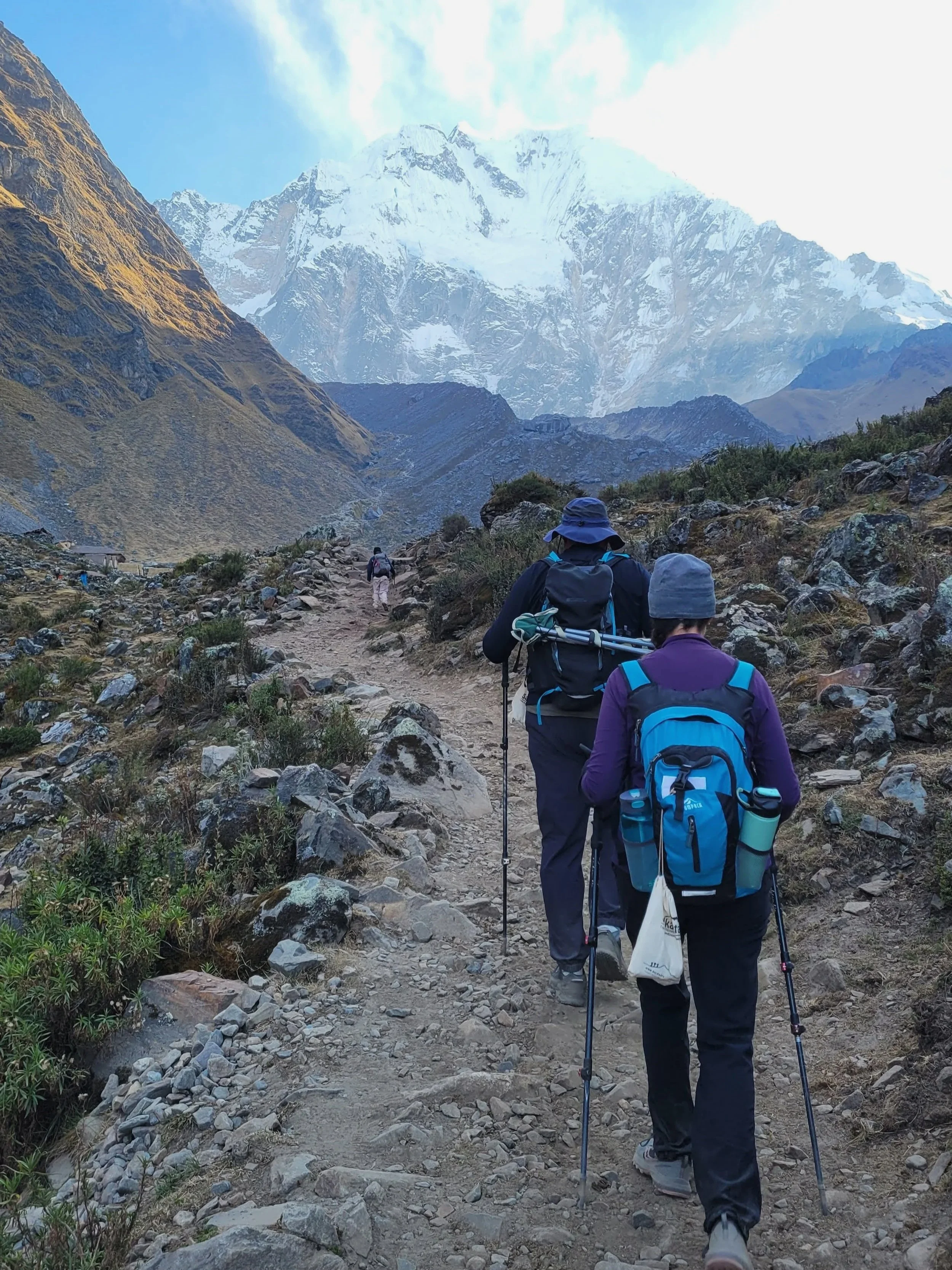
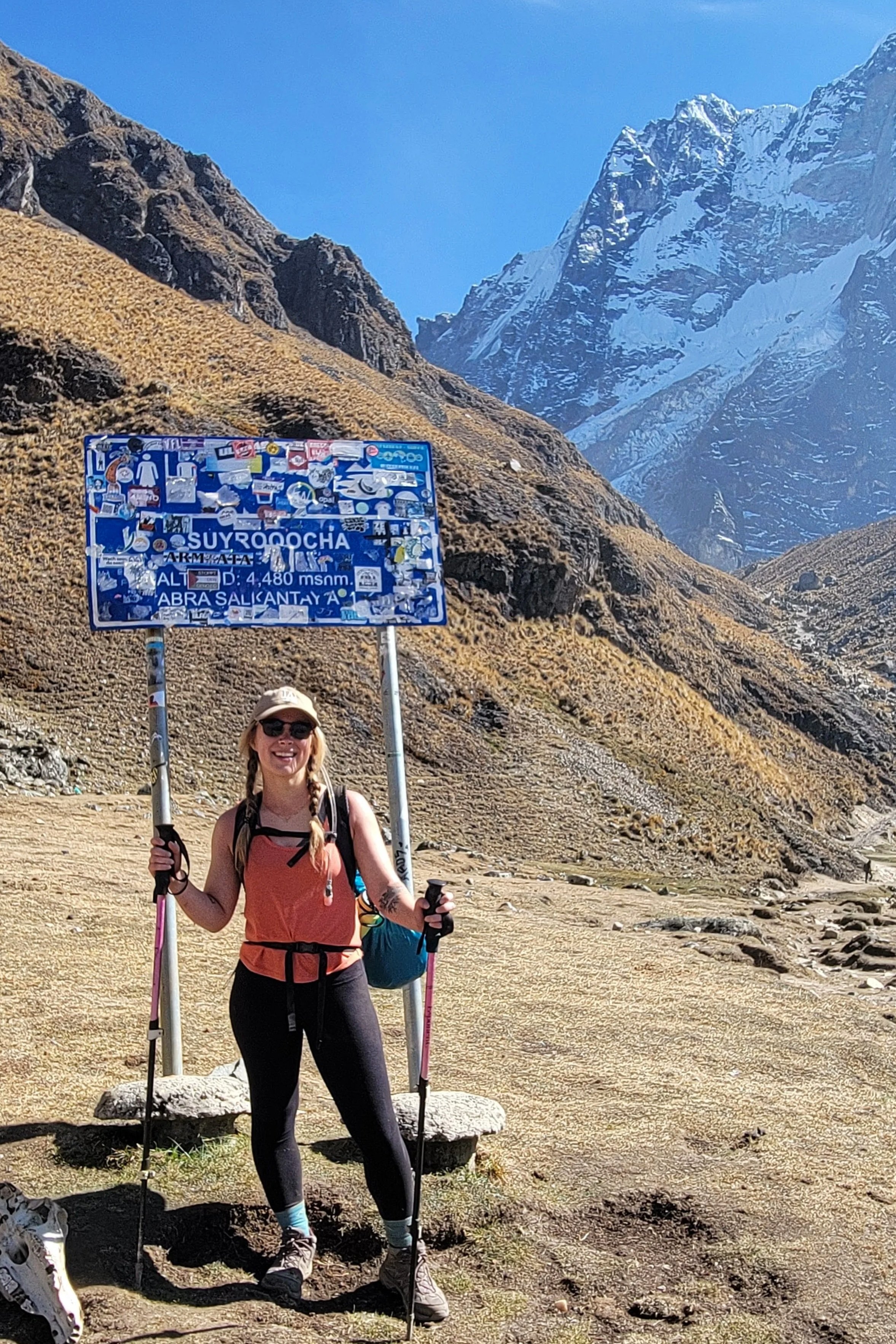
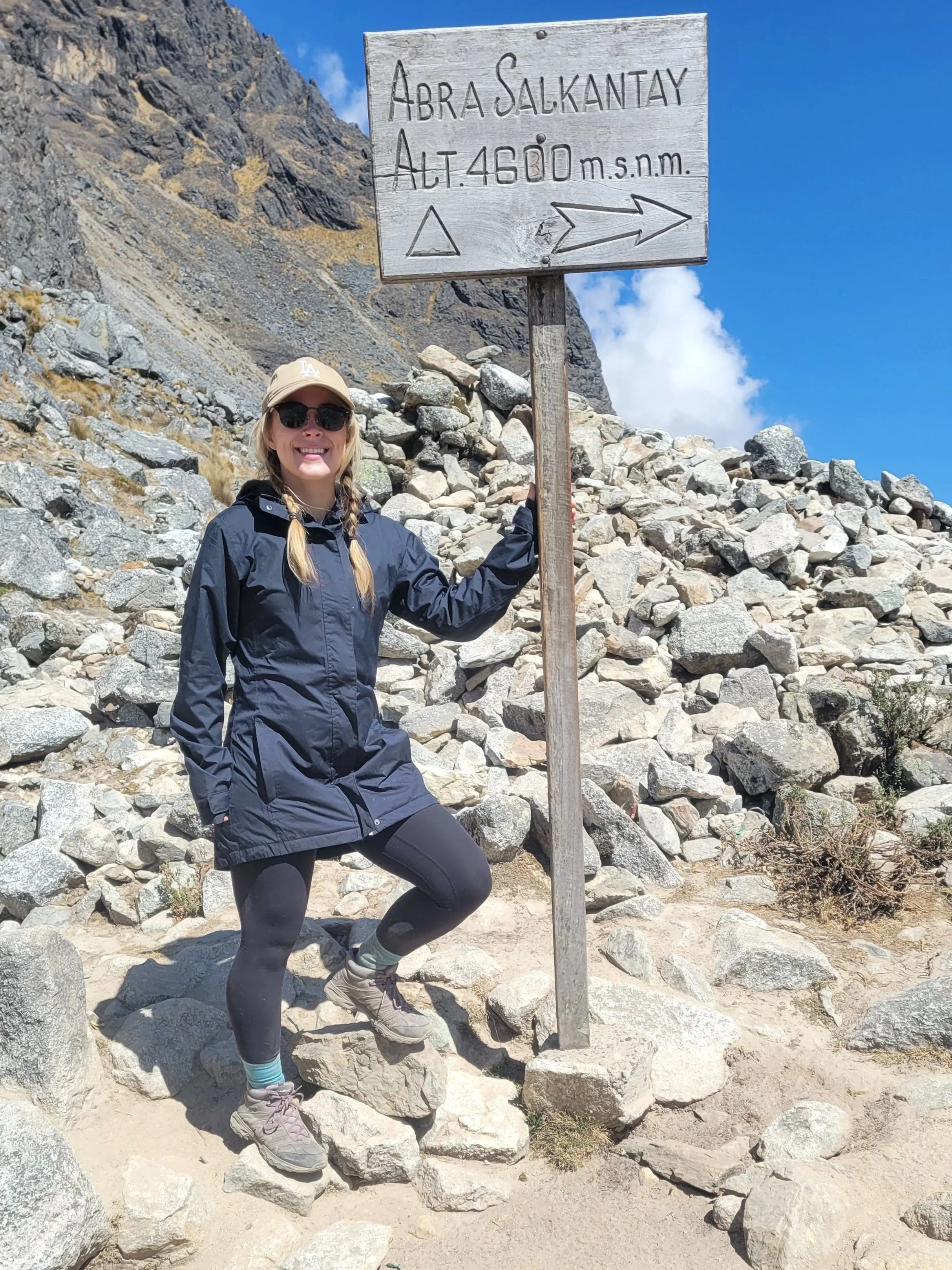
It was the longest day of the trek, and another early morning. Nico knocked on our door around 4:30 am with hot cups of coca tea (to prevent altitude sickness). By 6:00 am, we’d had breakfast and were on the trail, heading up to the highest point of the entire hike: the Salkantay Pass (4,630 m/15,190 ft).
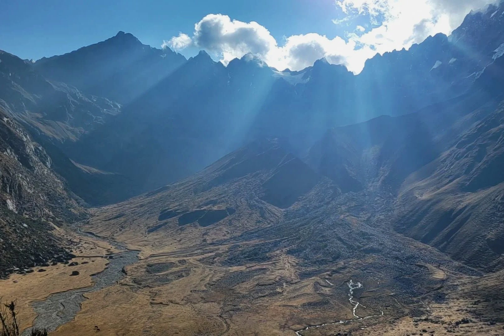
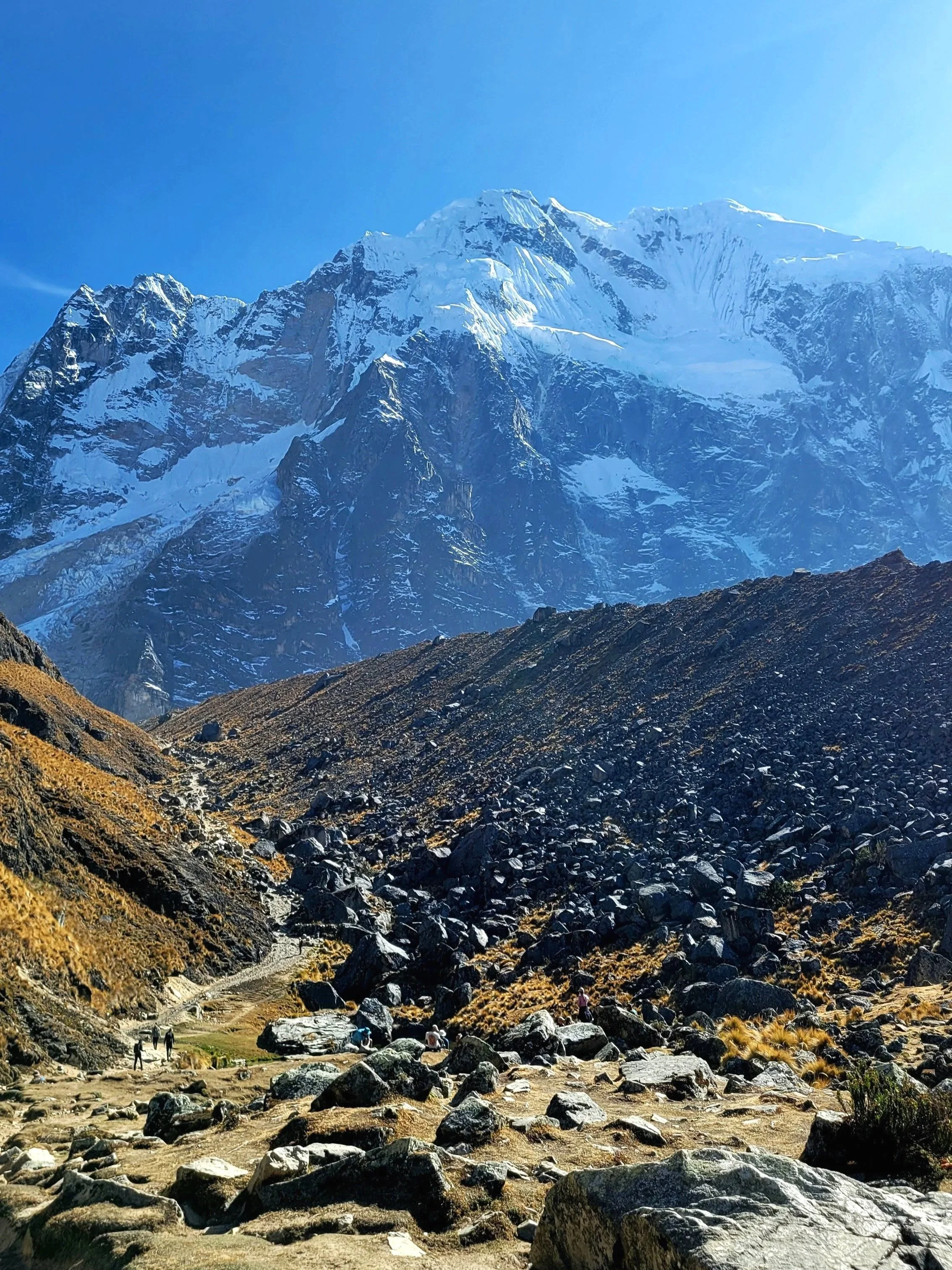
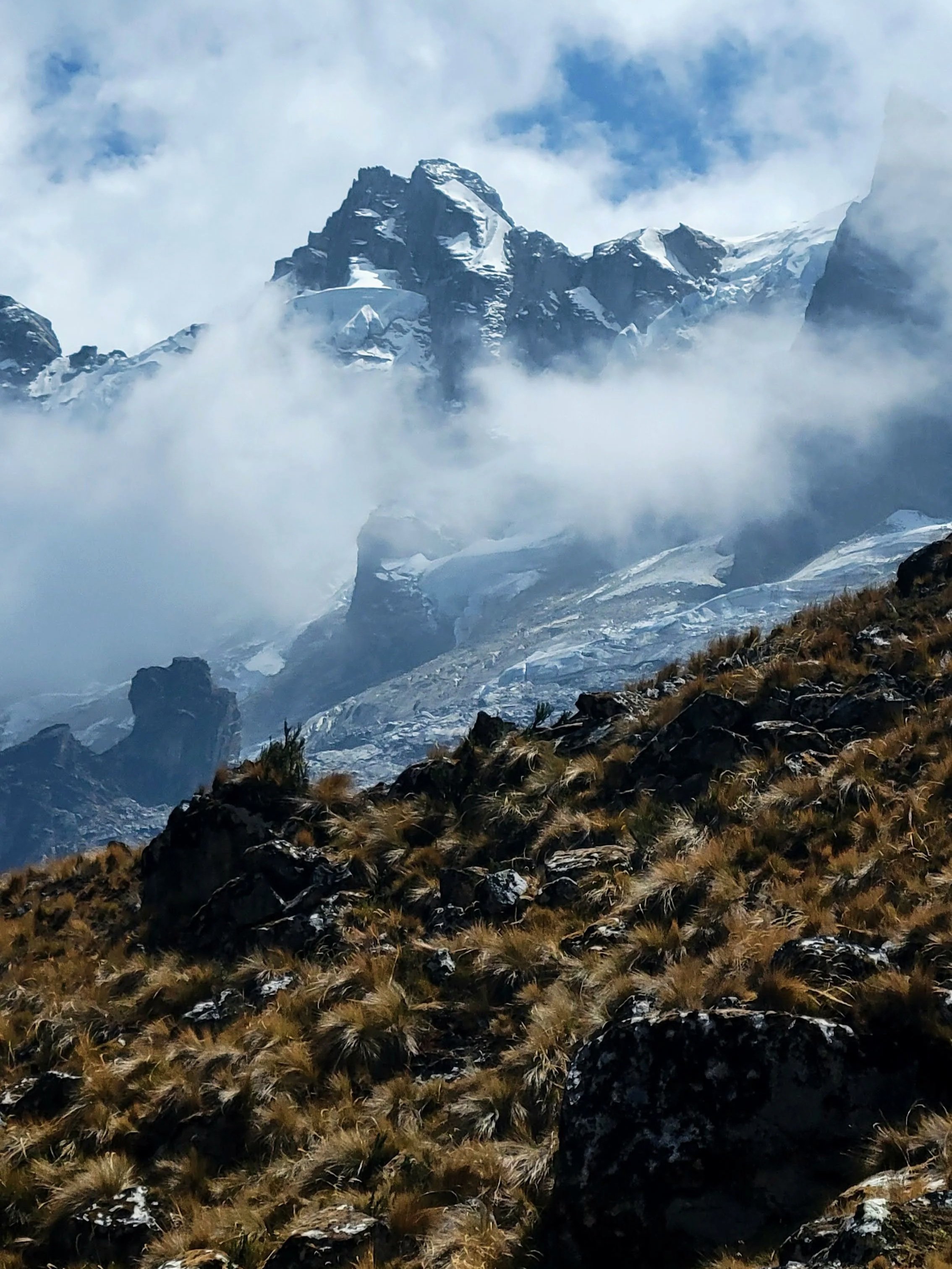
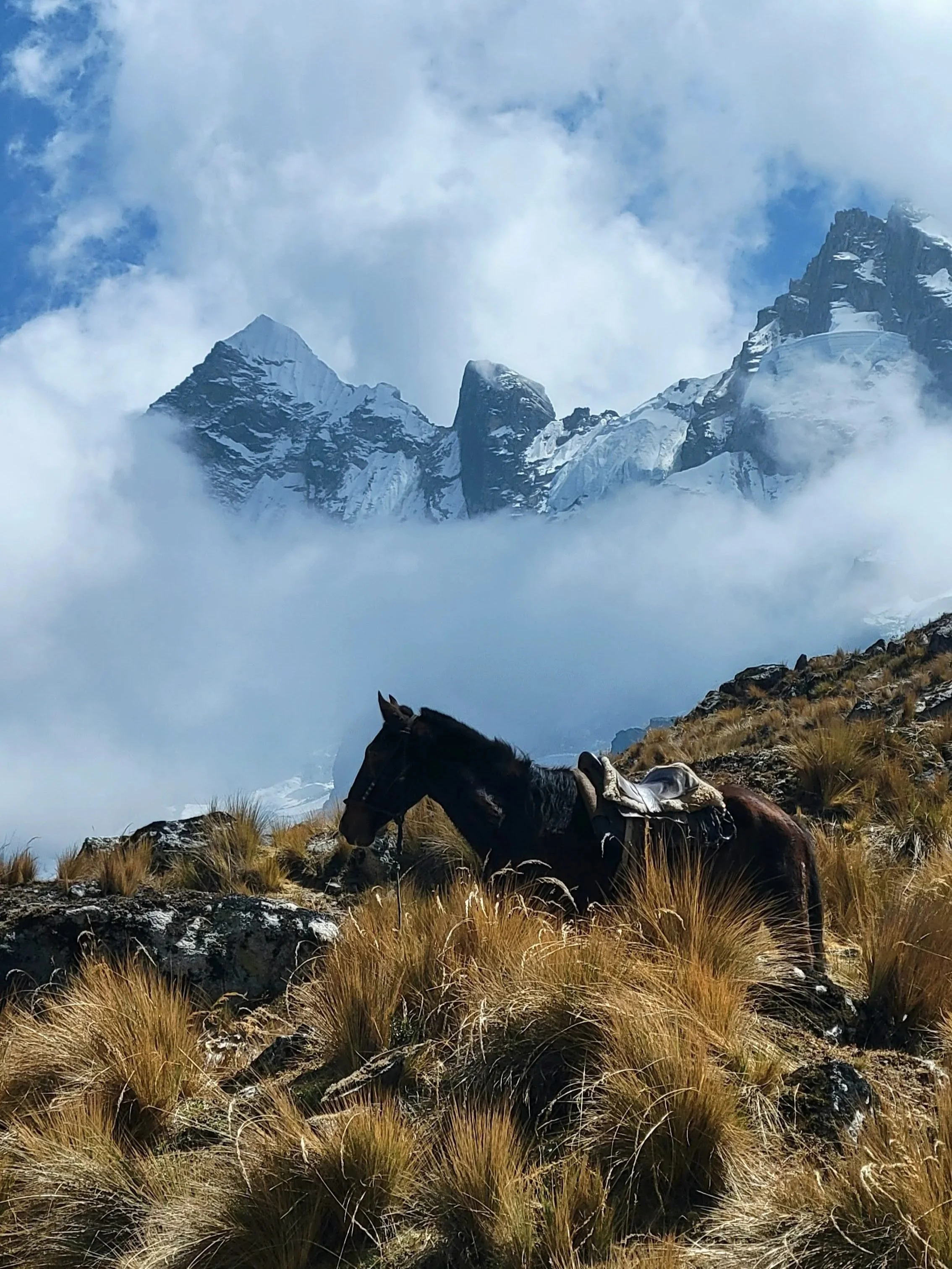
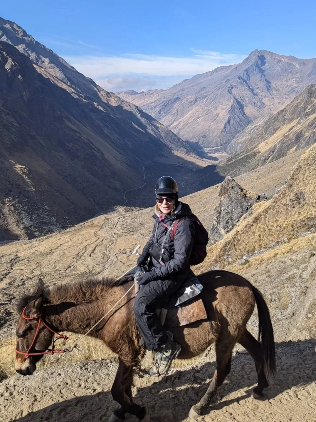
Steadily climbing for about four hours, we gained 730 metres (2395 ft) by ten in the morning. Most of the climb was a constant but manageable incline through farmland and plains, broken up by two much steeper sections — one stretch was up a set of switchbacks, and the other just before arriving at the pass. As we crested the final stretch, the views took our breath away: snowy peaks everywhere we looked, horses grazing in the long grass, and the valley stretching out below. We took a while to rest, sipping some coffee and tea, and eating lunch. Before we began the even longer descent down the other side, we joined Nico in making an offering of coca leaves to Mother Earth (Pachamama).
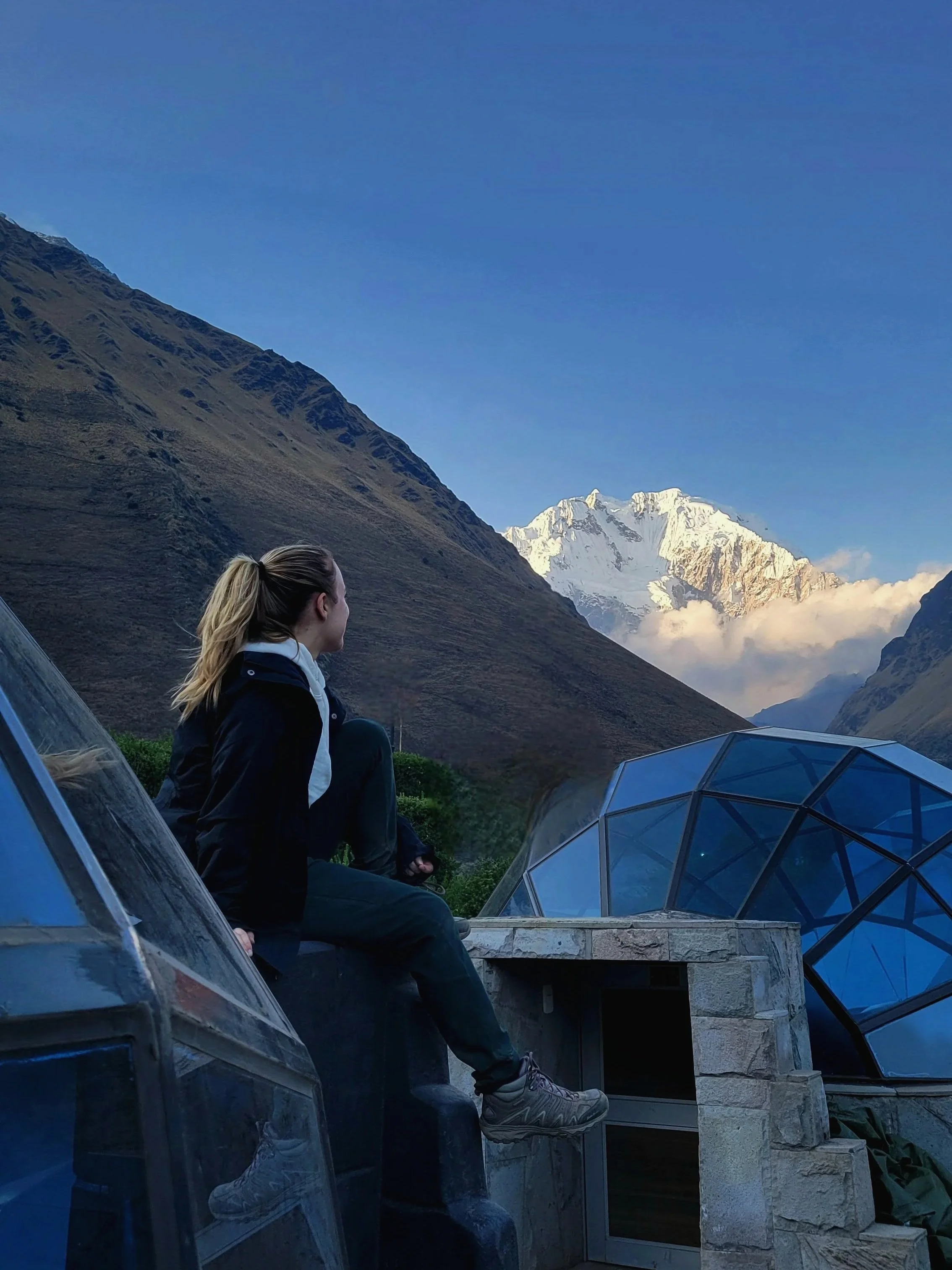
And as they say, what goes up must come down. The second half of the day was every bit as difficult as the first, especially on the knees! It was the first time I have ever been truly thankful for hiking poles. We walked through rock slide trails, jungle paths and open plains for another six hours before reaching Chaullay (2900 m/9514 ft), our camp for night two. Arriving just before sunset, we caught the pink hues of sunset from the mountain-view pods before dinner and a well-deserved beer!
Day 3 | 18 km
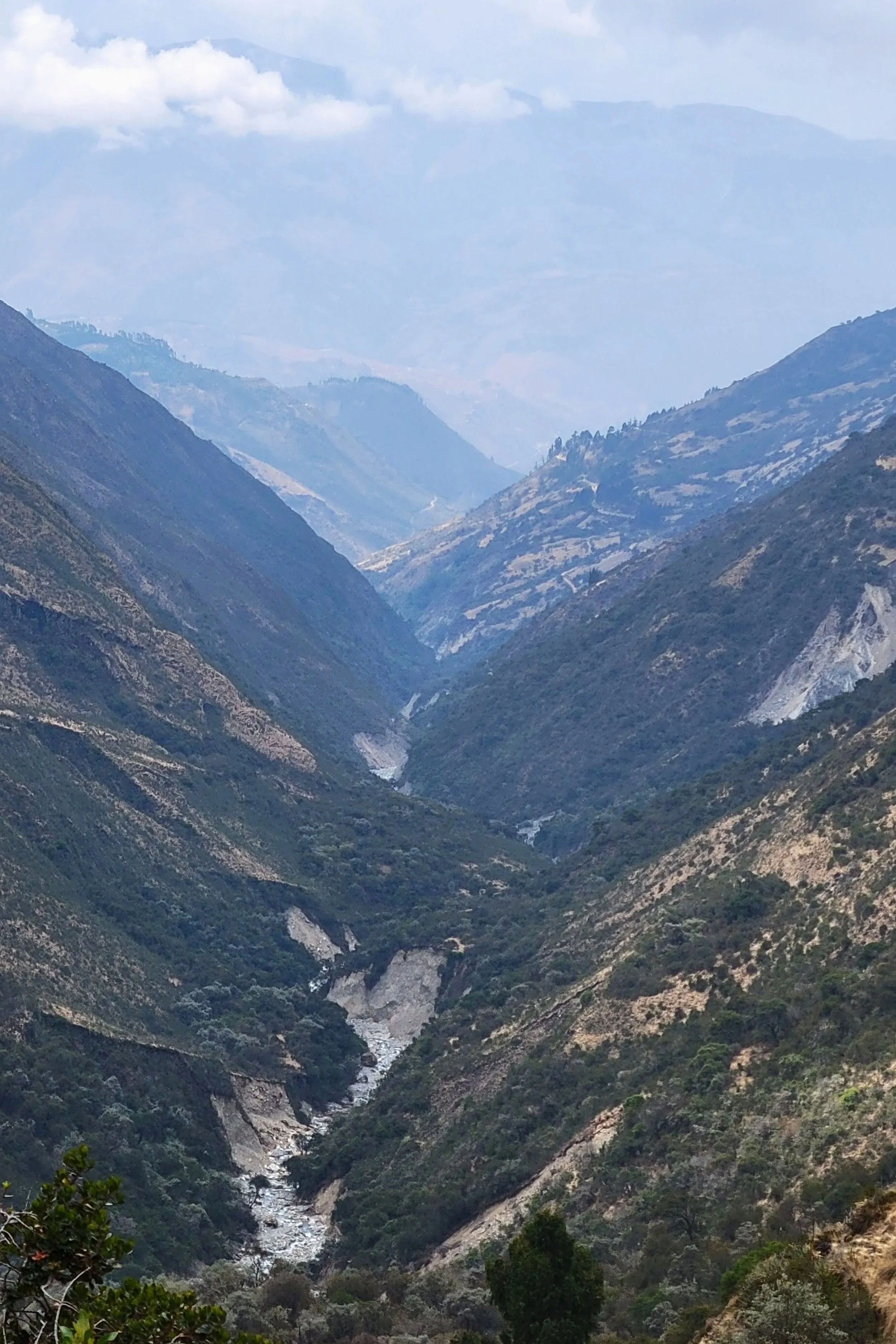
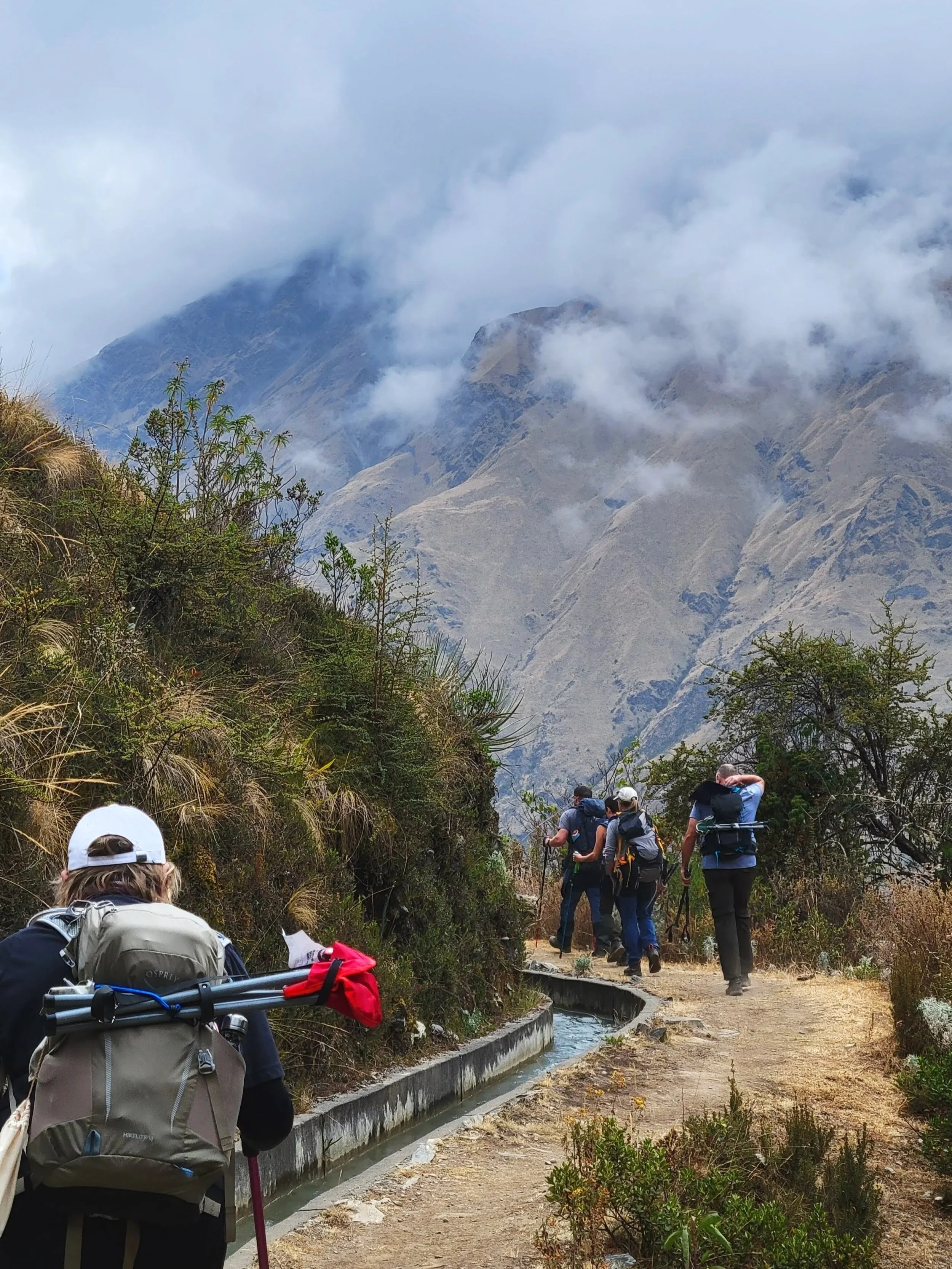
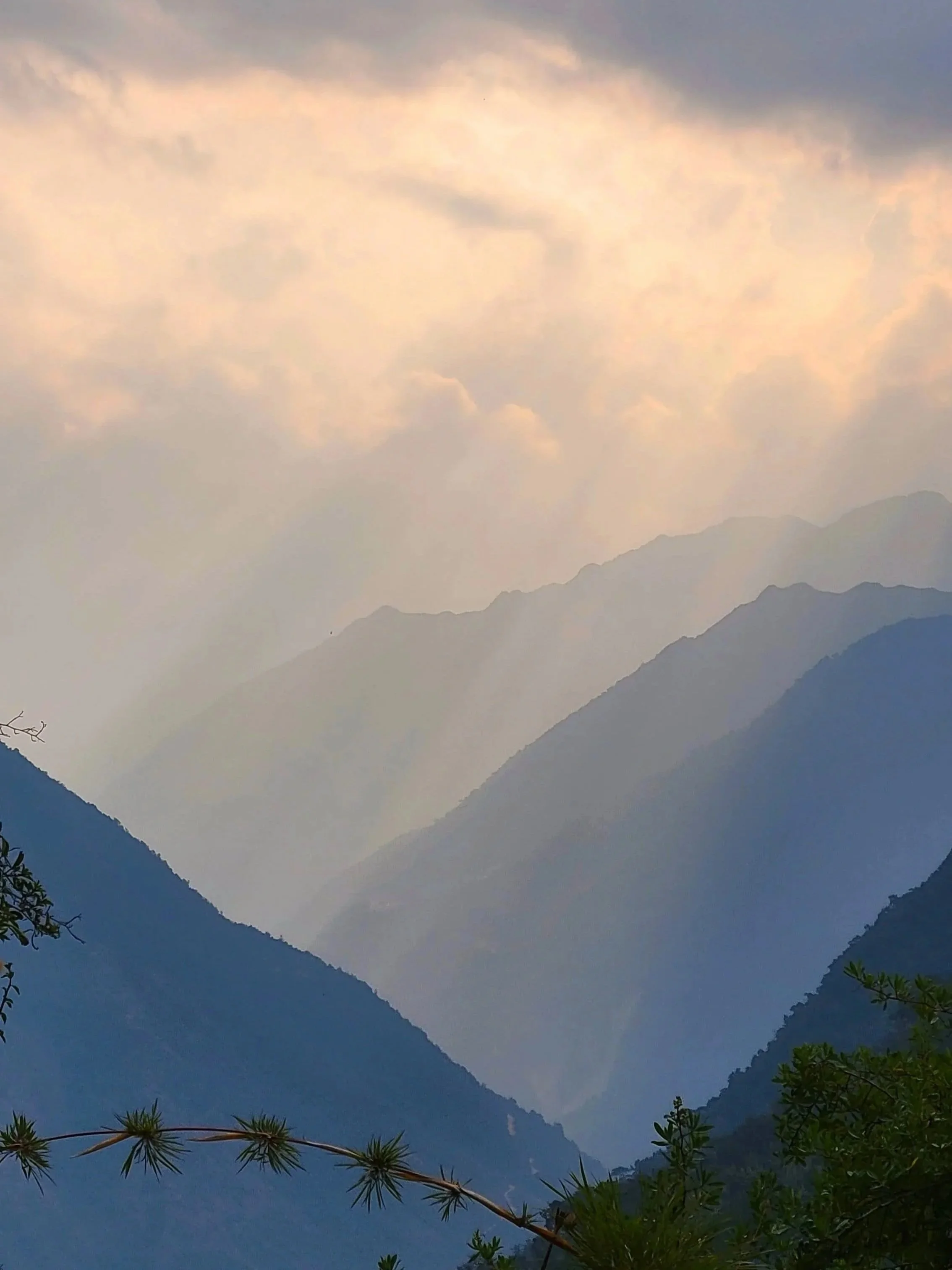
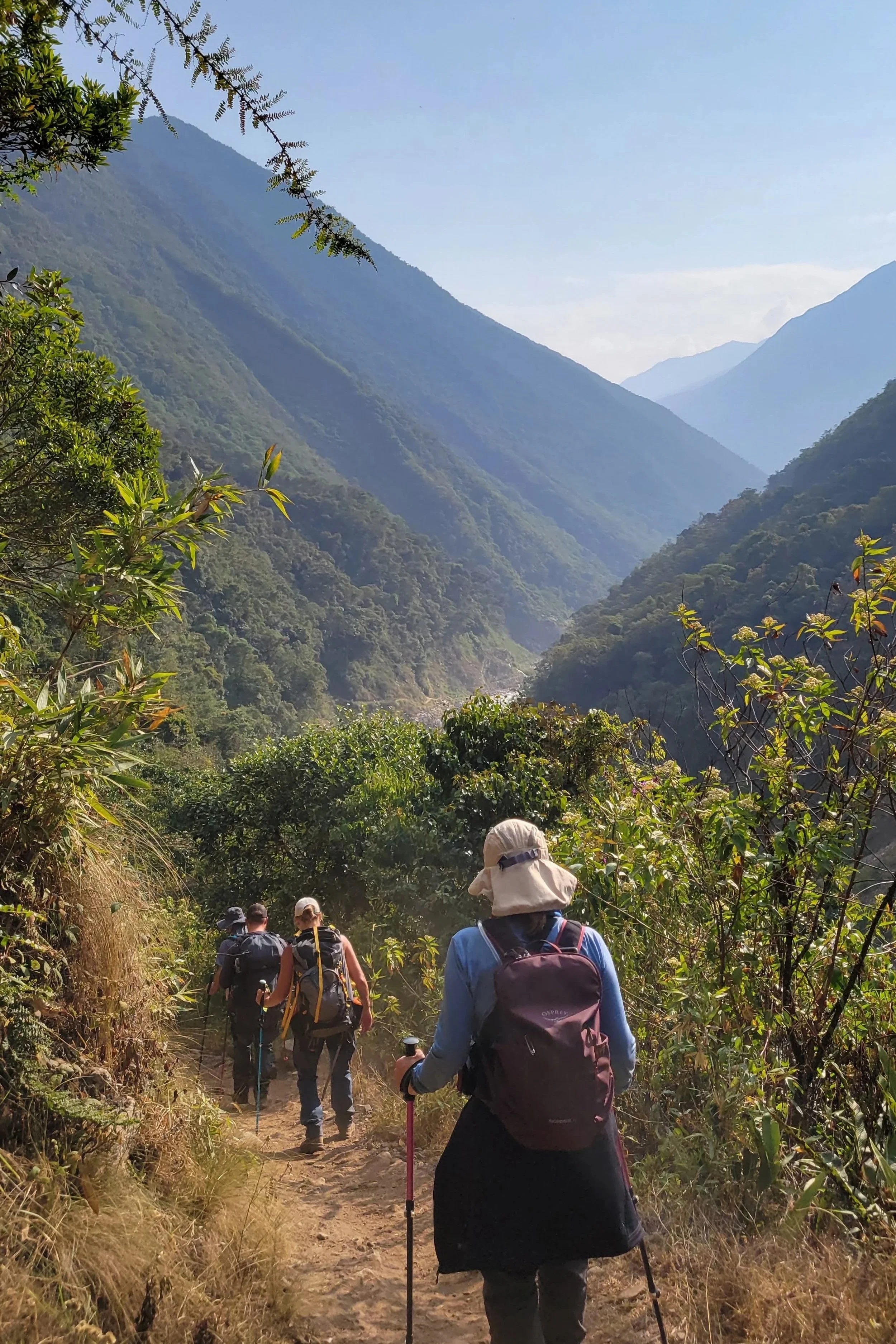
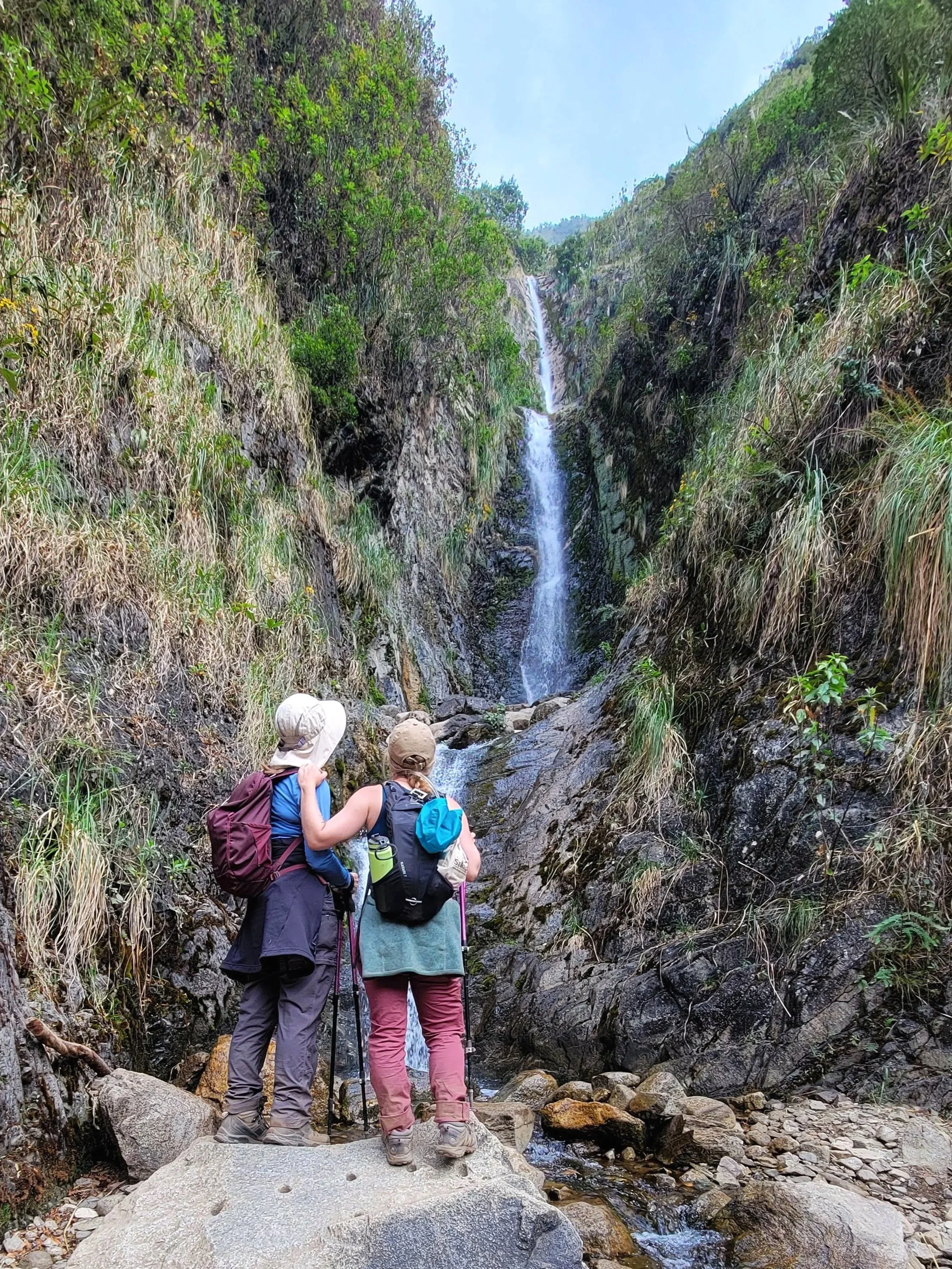
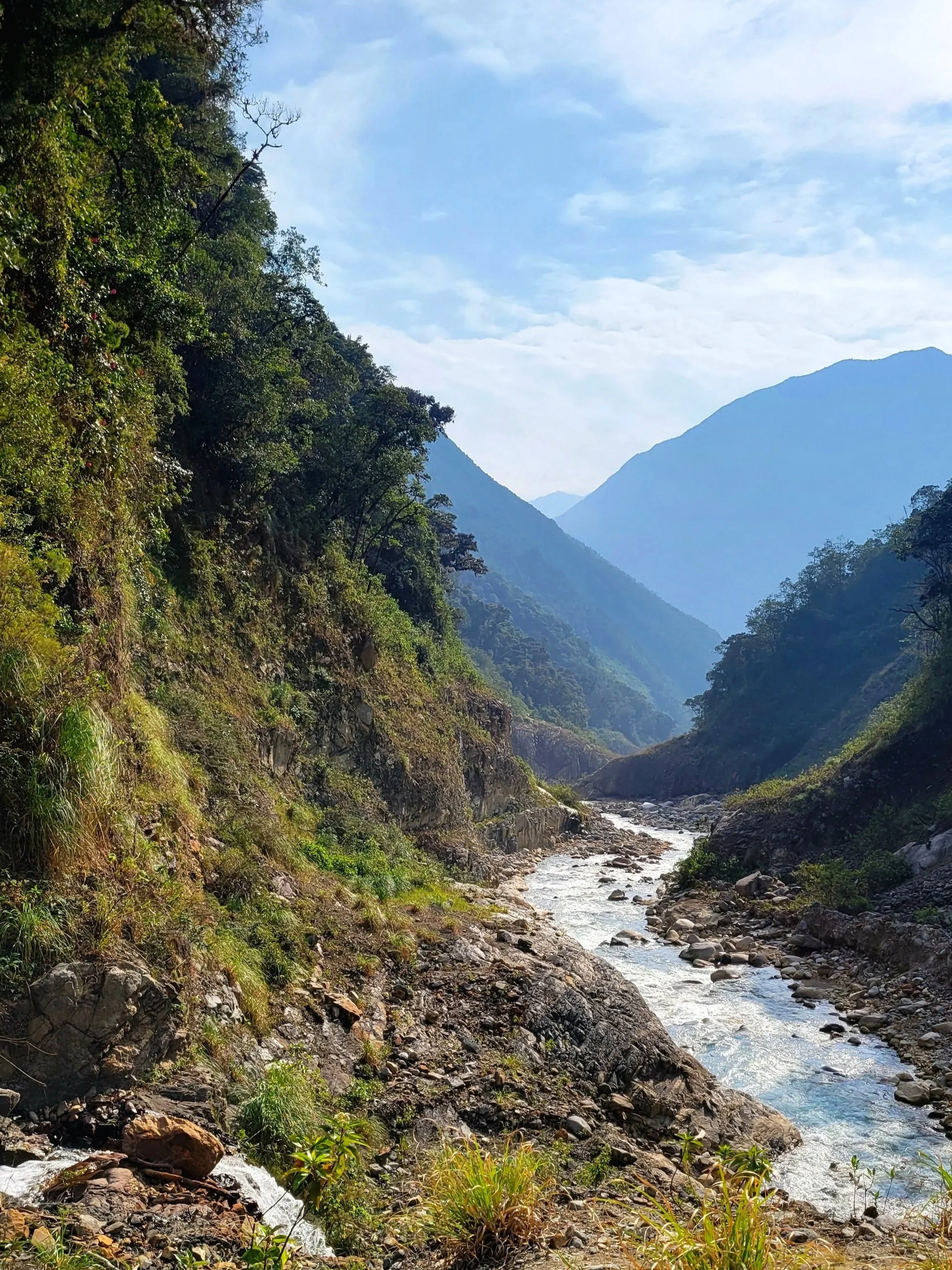
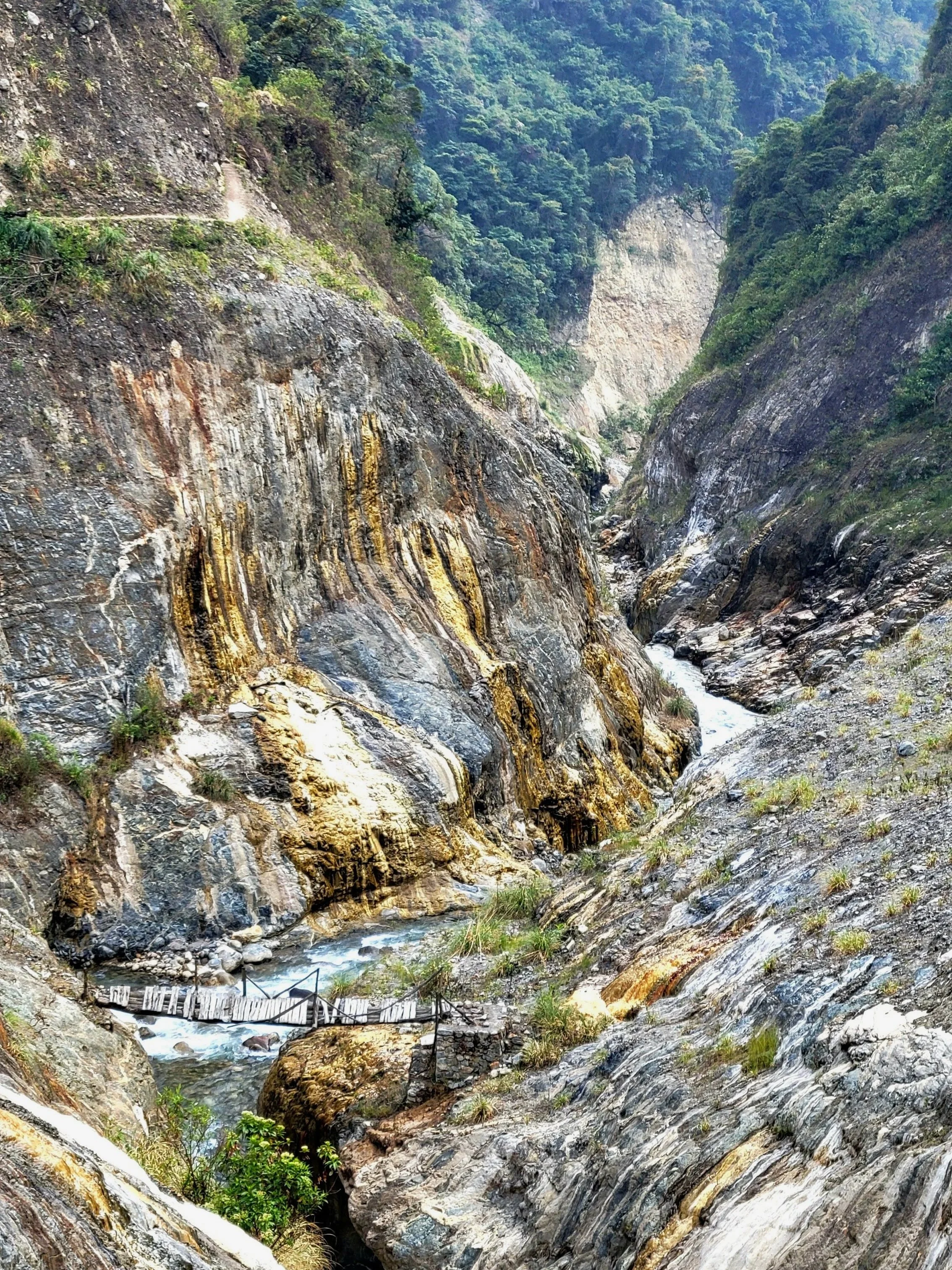
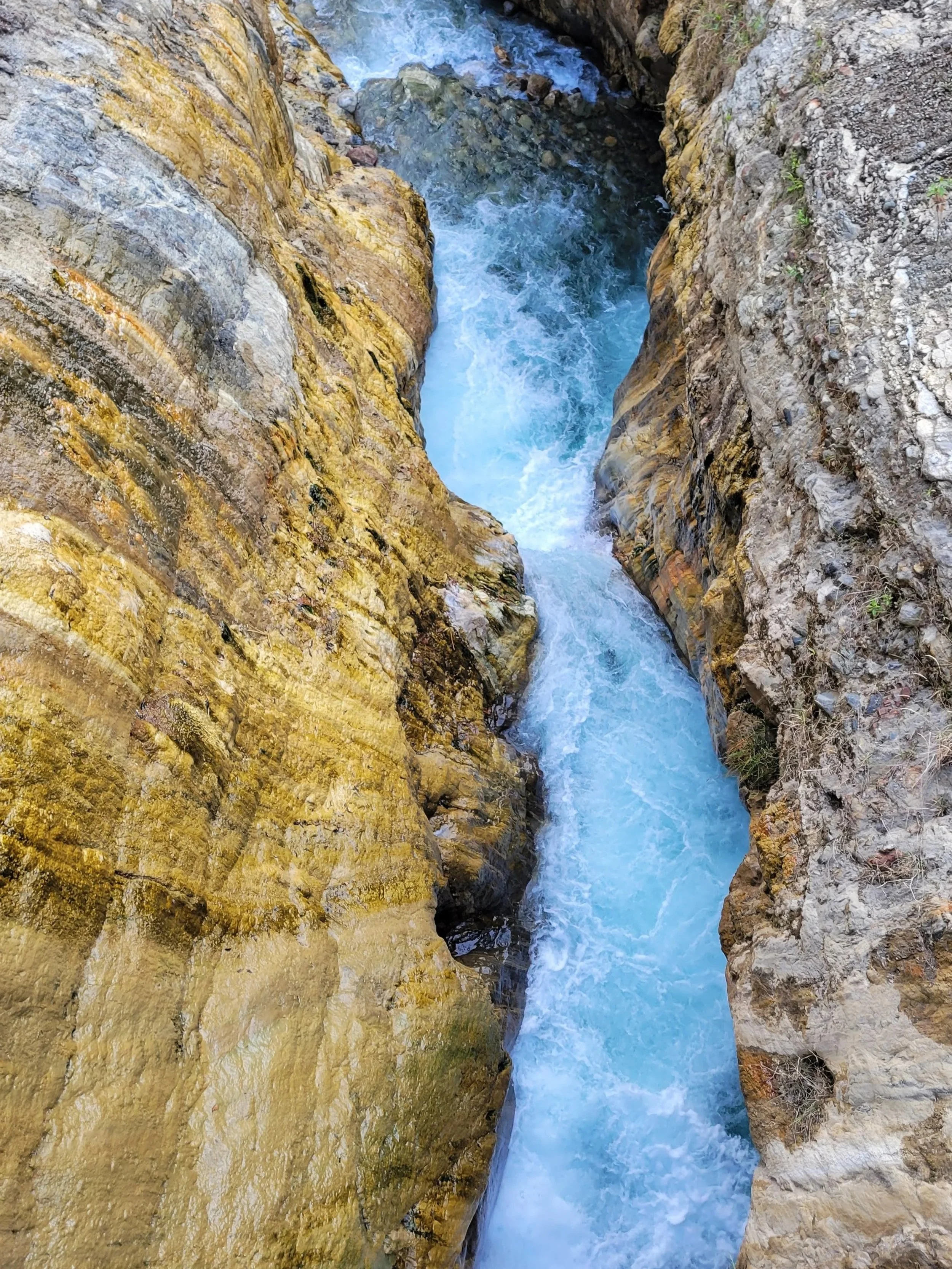
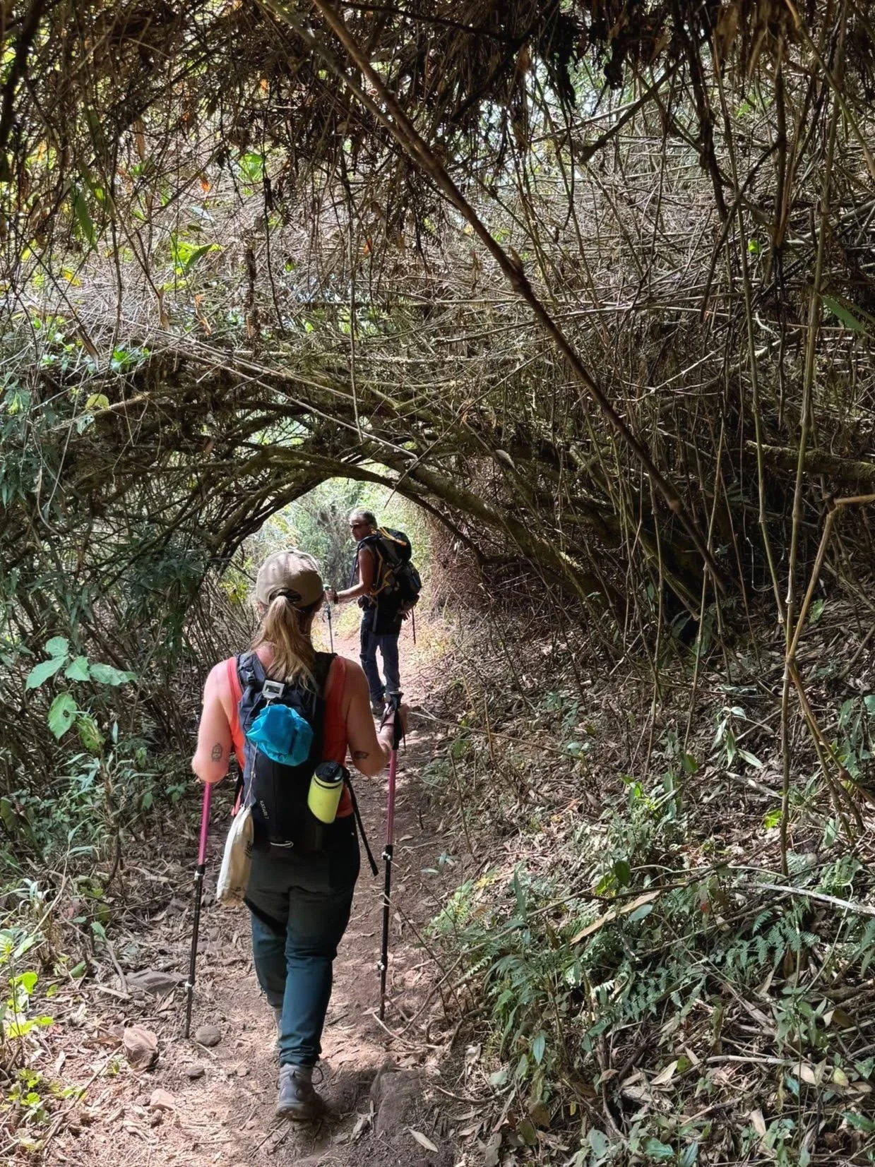
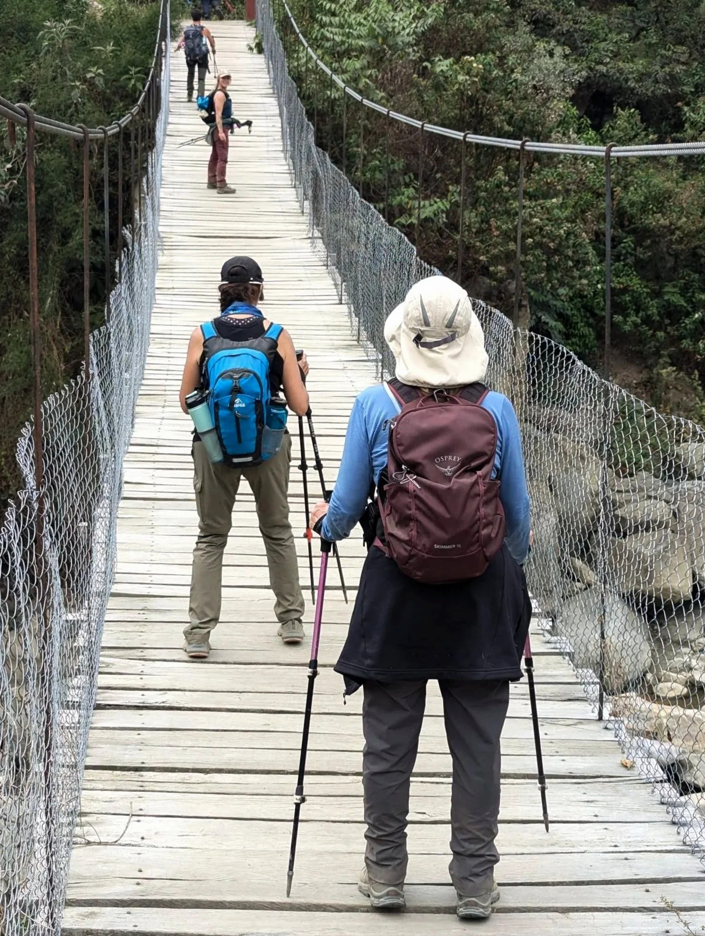
We were tea-ed, fed and on the road again at 6:00 am for the second day in a row, ready to start another long hike. Fortunately (or unfortunately if your knees are still feeling it from the day before), day three was mainly downhill. We followed along a ravine, entering the lower-altitude region, as we traded the savage beauty of the mountains for the lush greenery of the jungle.
The trail crossed streams, wandered through homesteads and farms. Locals had set up stands selling fruit, fresh juices, and some of the best avocado sandwiches I’ve ever tasted. After a lunch break we continued along narrow paths running high above the ravine below — if you have a fear of heights, prepare yourself!
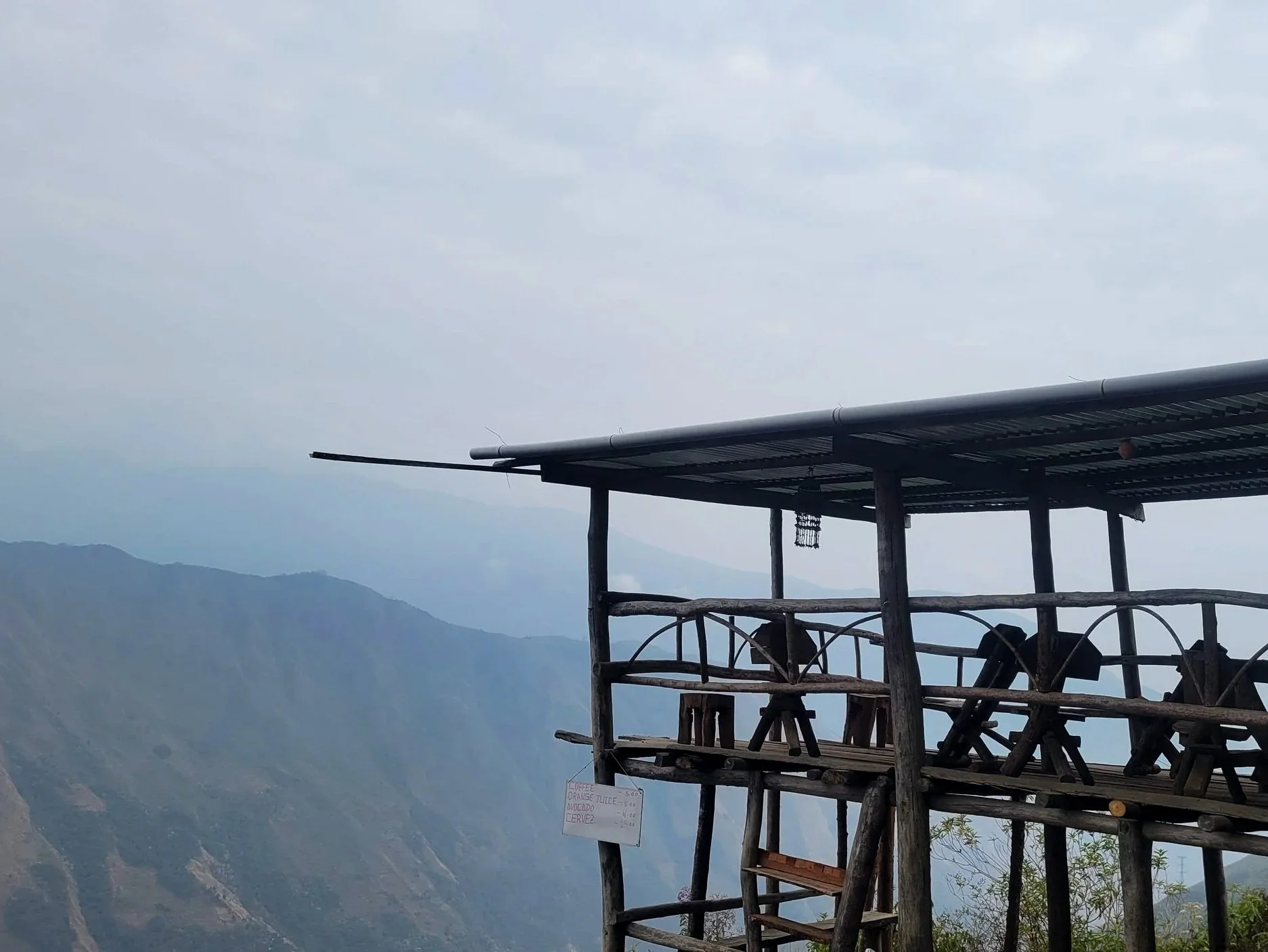
After 18 kilometres (11.2 mi), we arrived at a coffee farm in Playa Sahuayaco (2,060 m/6,759 ft), where we were shown the process of harvesting, roasting and grinding the beans. We were treated to a cup of espresso from the grinds we had just roasted while waiting to be picked up and driven to the jungle domes, our base for night three.
The chance to hop a shuttle to the nearby hot springs was too good to pass up, so we treated ourselves to a couple of hours of soaking before dinner — the perfect reward after three long days on the trail.
Day 4 | 14 km
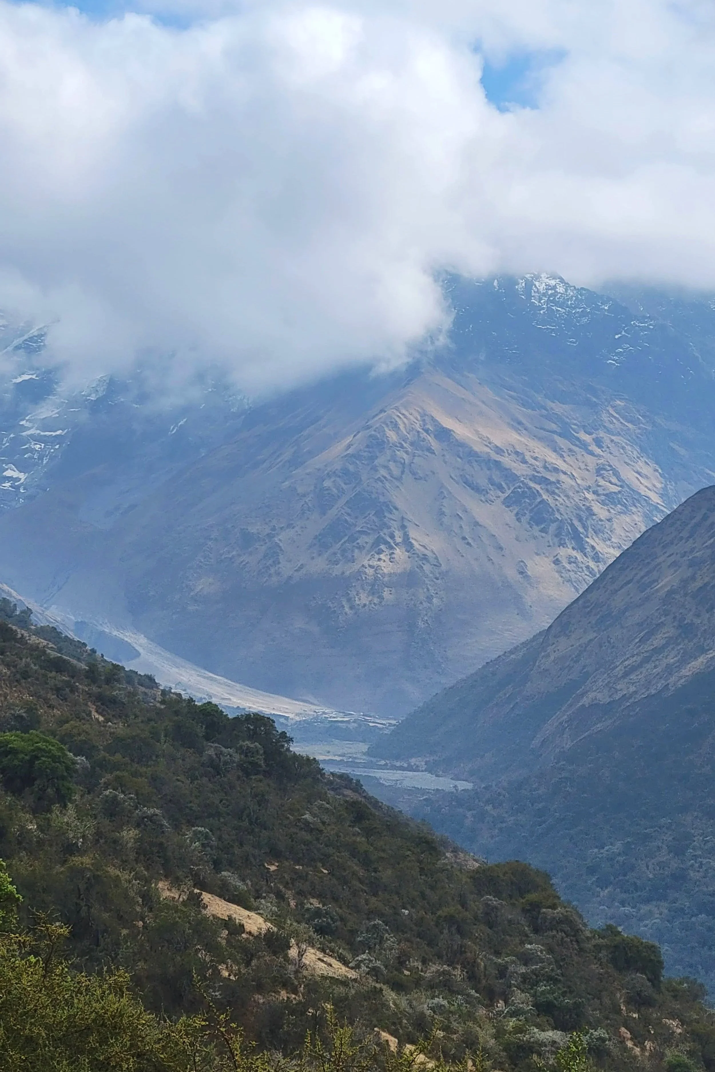
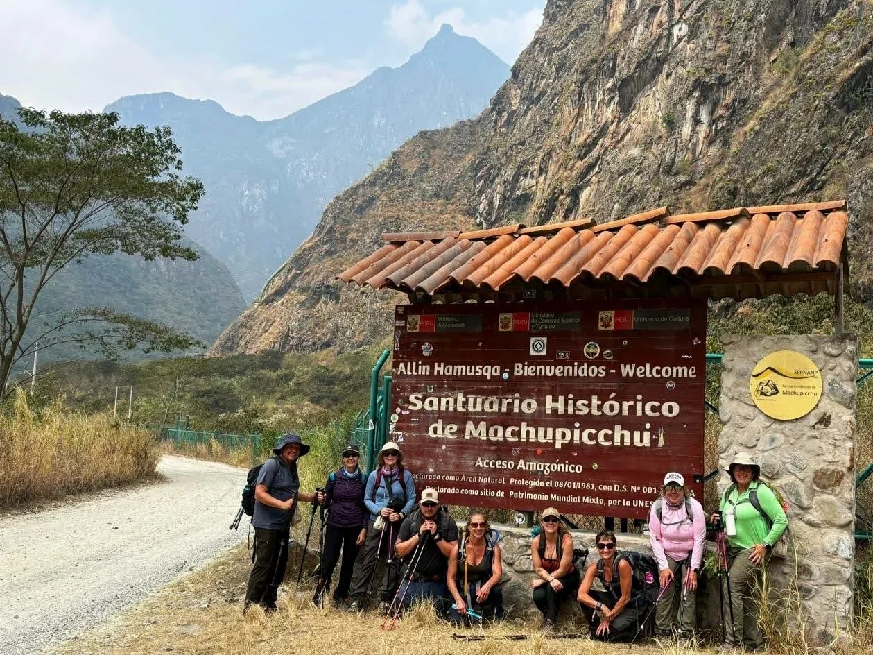
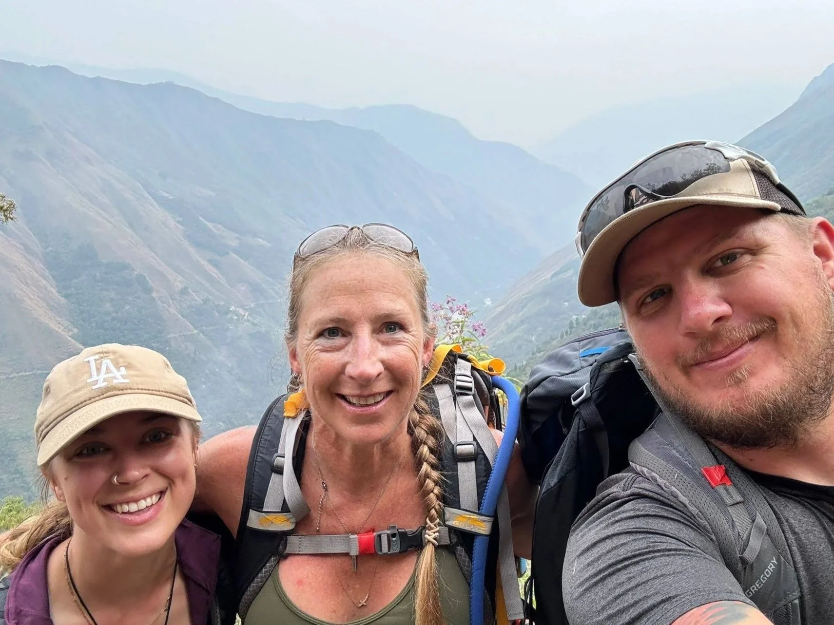
Up, up, up, and then down, down, down — 800 metres (2,624 ft) up, followed by 1,000 metres (3,230 ft) down to be precise. We started with an immediate steep incline, climbing possibly the steepest section of the hike straight up from our camp to the main trail we would be on for the rest of the day. After the first half kilometre, the path mellows out to a more comfortable incline, so don’t let yourself be discouraged! The path winds up Mount Patallaqta with views of the river in the valley below. At the top, if you’re luckier than us, you’ll be rewarded with your first glimpse of Machu Picchu from the ruins of Llaqtapata (2,700 m/8858 ft).
After a break, taking in the views and refuelling with some snacks, we began our descent to Hidroelectrica (1,800 m/5956 ft). From here, there is the option to continue on foot for another 11 kilometres (6.8 mi), or take a train the rest of the way to Aguas Calientes (2,040 m/6,693 ft). We decided to take the train and relax with a cold beer while we waited, feeling quite satisfied with all that we accomplished.
We celebrated that evening with some dinner and drinks for our last night together before Machu Picchu.
Day 5 | Machu Picchu
By day five, waking up before the sun felt almost routine. After a quick breakfast at the hotel, we took a shuttle bus up to Machu Picchu (about 30 minutes). We entered the ruins as the colours of sunrise were fading. Nico brought us through the World Wonder, sharing details about the surrounding mountains, the cultural significance of the site and historical facts of the ancient citadel.
Seeing Machu Picchu was incredible, but having put in the work to get there made it an experience like no other!
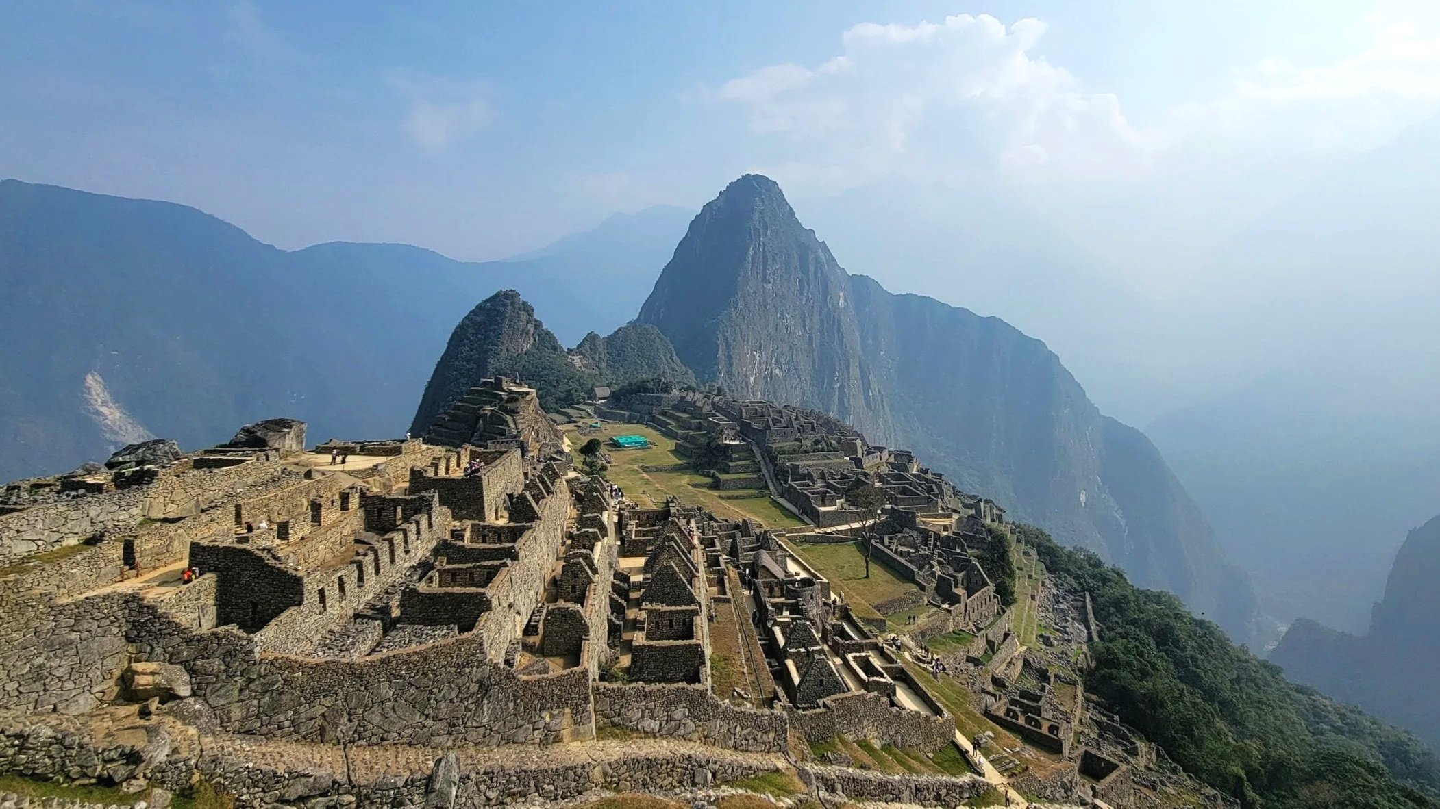
Machu Picchu